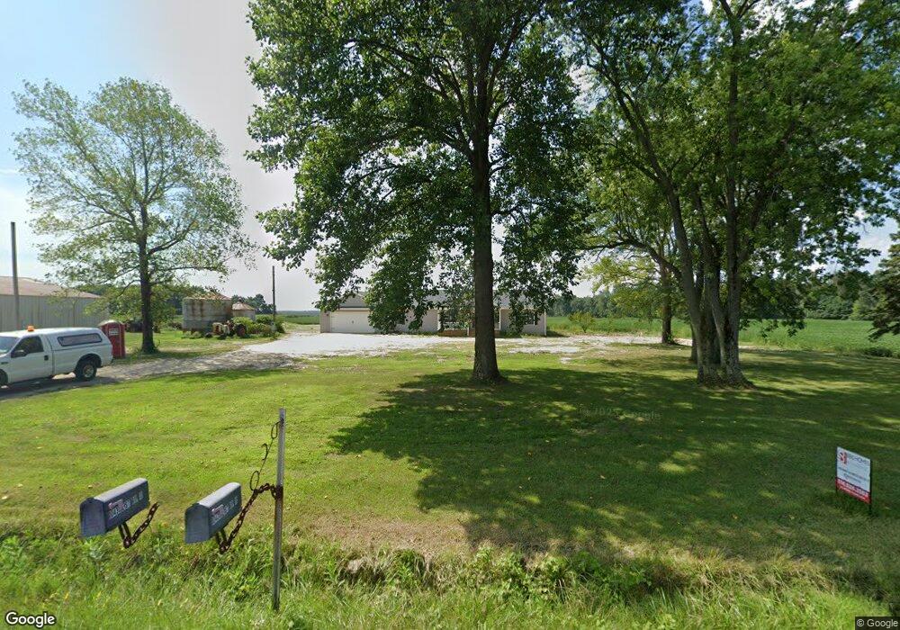
10435 E State Road 10 Culver, IN 46511
Estimated Value: $248,000 - $294,780
2
Beds
1
Bath
1,912
Sq Ft
$139/Sq Ft
Est. Value
About This Home
This home is located at 10435 E State Road 10, Culver, IN 46511 and is currently estimated at $265,927, approximately $139 per square foot. 10435 E State Road 10 is a home located in Starke County with nearby schools including Culver Elementary School and Culver Community Middle/High School.
Ownership History
Date
Name
Owned For
Owner Type
Purchase Details
Closed on
Jun 6, 2025
Sold by
Osborn Bruce
Bought by
Osborn Bruce and Betz Shirley
Current Estimated Value
Purchase Details
Closed on
Jan 30, 2025
Sold by
Osborn Bruce
Bought by
Valiquet Cody A
Home Financials for this Owner
Home Financials are based on the most recent Mortgage that was taken out on this home.
Original Mortgage
$232,500
Interest Rate
6.3%
Mortgage Type
New Conventional
Purchase Details
Closed on
Aug 21, 2023
Sold by
Osborn Bruce and Osborn Thomas
Bought by
Osborn Bruce
Purchase Details
Closed on
Apr 19, 2021
Sold by
Osborn Thomas D
Bought by
Osbron Brvce and Osbron Thomas D
Create a Home Valuation Report for This Property
The Home Valuation Report is an in-depth analysis detailing your home's value as well as a comparison with similar homes in the area
Home Values in the Area
Average Home Value in this Area
Purchase History
| Date | Buyer | Sale Price | Title Company |
|---|---|---|---|
| Osborn Bruce | -- | First American Title | |
| Valiquet Cody A | -- | First American Title | |
| Osborn Bruce | -- | None Listed On Document | |
| Osbron Brvce | -- | None Listed On Document |
Source: Public Records
Mortgage History
| Date | Status | Borrower | Loan Amount |
|---|---|---|---|
| Previous Owner | Valiquet Cody A | $232,500 | |
| Previous Owner | Valiquet Cody A | $232,500 |
Source: Public Records
Tax History Compared to Growth
Tax History
| Year | Tax Paid | Tax Assessment Tax Assessment Total Assessment is a certain percentage of the fair market value that is determined by local assessors to be the total taxable value of land and additions on the property. | Land | Improvement |
|---|---|---|---|---|
| 2024 | $1,341 | $160,400 | $114,000 | $46,400 |
| 2023 | $1,157 | $141,300 | $97,200 | $44,100 |
| 2022 | $893 | $120,700 | $79,600 | $41,100 |
| 2021 | $104 | $54,000 | $19,700 | $34,300 |
| 2020 | $121 | $53,100 | $19,600 | $33,500 |
| 2019 | $125 | $53,600 | $19,500 | $34,100 |
| 2018 | $124 | $52,400 | $18,700 | $33,700 |
| 2017 | $106 | $52,100 | $18,600 | $33,500 |
| 2016 | $103 | $51,900 | $18,500 | $33,400 |
| 2014 | $67 | $50,700 | $17,700 | $33,000 |
| 2013 | $58 | $50,100 | $17,400 | $32,700 |
Source: Public Records
Map
Nearby Homes
- 10140 E State Road 10
- 10003 E 625 S
- 2950 S 1150 E
- 0-Rear Toto Rd
- 3455 S 800 E
- 5832 S 750 E
- V/L Underwood Road
- 8382 S 1000 E
- 8845 E 200 S
- 550 W Jefferson St
- 10530 E 150 S
- 8692 E 200 S
- 9095 E 850 S
- 10788 E Hackberry Ave
- 11560 E 150 S
- 301 Lighthouse Ln Unit 64
- 233 Dunes Park Dr Unit 15
- 225 Dunes Park Dr Unit 19
- 321 S Slate St
- 316 S Slate St
- 10520 E State Road 10
- 10520 Indiana 10
- 10715 E State Road 10
- 10725 E State Road 10
- 10115 E State Road 10
- 10720 E State Road 10
- 250 S 1000 E
- 0 S 1000 E Unit 202427007
- 0 S 1000 E Unit NRA807150
- 10995 E State Road 10
- 5316 S 1000 E
- 10320 E 450 S
- 10195 E 450 S
- 0 E 450 S
- 4620 S 1000 E
- 11145 E State Road 10
- 5523 S 1000 E
- 11160 E State Road 10
- 5572 S 1000 E
- 11160 Indiana 10