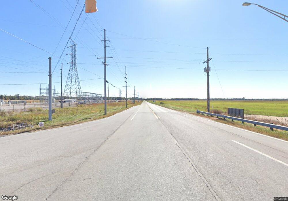
10435 W State Road 10 San Pierre, IN 46374
Estimated Value: $158,000 - $190,000
3
Beds
3
Baths
1,152
Sq Ft
$150/Sq Ft
Est. Value
About This Home
This home is located at 10435 W State Road 10, San Pierre, IN 46374 and is currently estimated at $172,936, approximately $150 per square foot. 10435 W State Road 10 is a home located in Starke County with nearby schools including North Judson-San Pierre Elementary School and N. Judson-San Pierre Junior/Senior High School.
Ownership History
Date
Name
Owned For
Owner Type
Purchase Details
Closed on
Feb 16, 2021
Sold by
Bobo Leviathan
Bought by
Kallay William B
Current Estimated Value
Purchase Details
Closed on
Jan 19, 2017
Sold by
Feeny Marilyn M
Bought by
Scott Bobo
Home Financials for this Owner
Home Financials are based on the most recent Mortgage that was taken out on this home.
Original Mortgage
$63,636
Interest Rate
4.08%
Mortgage Type
New Conventional
Purchase Details
Closed on
Jan 6, 2017
Sold by
Feeny Marilyn M
Bought by
Bobo Leviathan T Scott
Home Financials for this Owner
Home Financials are based on the most recent Mortgage that was taken out on this home.
Original Mortgage
$63,636
Interest Rate
4.08%
Mortgage Type
New Conventional
Create a Home Valuation Report for This Property
The Home Valuation Report is an in-depth analysis detailing your home's value as well as a comparison with similar homes in the area
Home Values in the Area
Average Home Value in this Area
Purchase History
| Date | Buyer | Sale Price | Title Company |
|---|---|---|---|
| Kallay William B | -- | None Available | |
| Scott Bobo | $60,000 | -- | |
| Bobo Leviathan T Scott | -- | None Available |
Source: Public Records
Mortgage History
| Date | Status | Borrower | Loan Amount |
|---|---|---|---|
| Previous Owner | Bobo Leviathan T Scott | $63,636 |
Source: Public Records
Tax History Compared to Growth
Tax History
| Year | Tax Paid | Tax Assessment Tax Assessment Total Assessment is a certain percentage of the fair market value that is determined by local assessors to be the total taxable value of land and additions on the property. | Land | Improvement |
|---|---|---|---|---|
| 2024 | $2,837 | $125,300 | $18,000 | $107,300 |
| 2023 | $1,819 | $112,700 | $14,500 | $98,200 |
| 2022 | $1,724 | $102,300 | $13,400 | $88,900 |
| 2021 | $453 | $87,500 | $14,500 | $73,000 |
| 2020 | $324 | $72,800 | $14,500 | $58,300 |
| 2019 | $303 | $69,900 | $14,500 | $55,400 |
| 2018 | $287 | $68,000 | $13,800 | $54,200 |
| 2017 | $301 | $73,400 | $13,800 | $59,600 |
| 2016 | $1,447 | $81,800 | $13,800 | $68,000 |
| 2014 | $1,442 | $85,400 | $14,500 | $70,900 |
| 2013 | $1,453 | $85,500 | $14,500 | $71,000 |
Source: Public Records
Map
Nearby Homes
- 105 W Green St
- 1200 State Road 10
- 9735 W San Pierre Rd
- 7935 W 850 S
- 7175 W 850 S
- 12343 N 390 E
- 7555 S U S 421
- 548 E 1400 S
- 544 E 1400 S
- 400 N Us Highway 421
- 9702 N 300 E
- 5995 W 500 S
- 5895 W 500 S
- 10524 Coyote Trail
- 616 Laurel St
- 201 Sheridan Ave
- 514 W Vine St
- 12716 N 100 E
- 502 Keller Ave
- 408 Keller Ave
- 10475 W State Road 10
- 10495 W State Road 10
- 10375 W State Road 10
- 10455 W State Road 10
- 10535 W State Road 10
- 10555 W State Road 10
- 10377 W State Road 10
- 10415 W State Road 10
- 10361 W State Road 10
- 10575 W State Road 10
- 10355 W State Road 10
- 10255 W State Road 10
- 10312 W State Road 10
- 10235 W State Road 10
- 10240 W State Road 10
- 10310 W State Road 10
- 10180 W State Road 10
- 8155 S Us Highway 421
- 10120 W State Road 10
- 10095 W State Road 10
