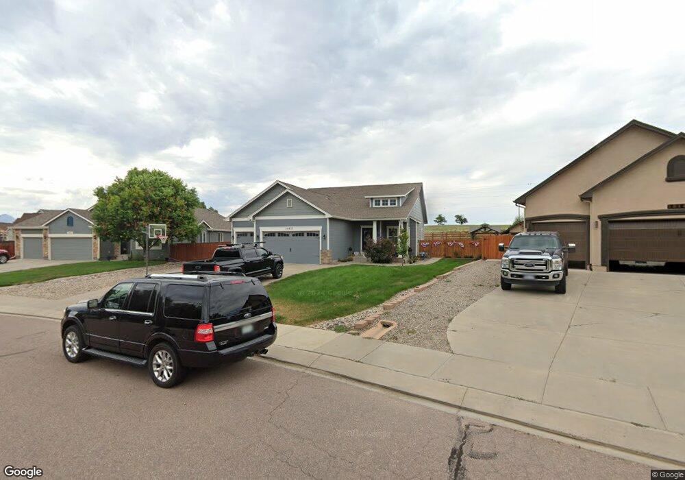
10437 Mile Post Loop Fountain, CO 80817
Central Fountain Valley NeighborhoodEstimated Value: $521,000 - $560,988
4
Beds
3
Baths
1,903
Sq Ft
$288/Sq Ft
Est. Value
About This Home
This home is located at 10437 Mile Post Loop, Fountain, CO 80817 and is currently estimated at $548,997, approximately $288 per square foot. 10437 Mile Post Loop is a home located in El Paso County with nearby schools including Jordahl Elementary School, Fountain Middle School, and Fountain-Fort Carson High School.
Ownership History
Date
Name
Owned For
Owner Type
Purchase Details
Closed on
Sep 23, 2019
Sold by
Mitchell Brian J and Mitchell Larona L
Bought by
Fornes Jonathan and Fornes Katie
Current Estimated Value
Home Financials for this Owner
Home Financials are based on the most recent Mortgage that was taken out on this home.
Original Mortgage
$371,880
Outstanding Balance
$324,387
Interest Rate
3.4%
Mortgage Type
VA
Estimated Equity
$224,610
Purchase Details
Closed on
Jul 3, 2006
Sold by
Creekstone Development Inc
Bought by
Mitchell Brian J and Mitchell Larona L
Home Financials for this Owner
Home Financials are based on the most recent Mortgage that was taken out on this home.
Original Mortgage
$367,524
Interest Rate
6.63%
Mortgage Type
VA
Create a Home Valuation Report for This Property
The Home Valuation Report is an in-depth analysis detailing your home's value as well as a comparison with similar homes in the area
Home Values in the Area
Average Home Value in this Area
Purchase History
| Date | Buyer | Sale Price | Title Company |
|---|---|---|---|
| Fornes Jonathan | $360,000 | Empire Title Co Springs Llc | |
| Mitchell Brian J | $359,789 | Security Title |
Source: Public Records
Mortgage History
| Date | Status | Borrower | Loan Amount |
|---|---|---|---|
| Open | Fornes Jonathan | $371,880 | |
| Previous Owner | Mitchell Brian J | $367,524 |
Source: Public Records
Tax History Compared to Growth
Tax History
| Year | Tax Paid | Tax Assessment Tax Assessment Total Assessment is a certain percentage of the fair market value that is determined by local assessors to be the total taxable value of land and additions on the property. | Land | Improvement |
|---|---|---|---|---|
| 2025 | $2,118 | $39,190 | -- | -- |
| 2024 | $1,936 | $38,550 | $6,570 | $31,980 |
| 2022 | $1,639 | $28,100 | $5,180 | $22,920 |
| 2021 | $1,523 | $28,910 | $5,330 | $23,580 |
| 2020 | $1,432 | $26,620 | $4,650 | $21,970 |
| 2019 | $1,405 | $26,620 | $4,650 | $21,970 |
| 2018 | $1,205 | $22,040 | $4,100 | $17,940 |
| 2017 | $1,190 | $22,040 | $4,100 | $17,940 |
| 2016 | $1,369 | $25,320 | $4,300 | $21,020 |
| 2015 | $1,371 | $25,320 | $4,300 | $21,020 |
| 2014 | $1,363 | $25,320 | $4,300 | $21,020 |
Source: Public Records
Map
Nearby Homes
- 7354 Countryside Grove
- 119 & 121 E Ohio Ave
- 7355 Countryside Grove
- 7427 Middle Bay Way
- 10677 Traders Pkwy
- 10733 Calista Way
- 10684 Calista Way
- 7770 Del Ray Bay St
- 10594 Traders Pkwy
- 10747 Hidden Prairie Pkwy
- 10994 Tidal Run Cir
- 11155 Falling Star Rd
- 10797 Hidden Prairie Pkwy
- 10807 Hidden Prairie Pkwy
- 11081 Buckhead Place
- 7 Circle c Rd
- 508 E Ohio Ave
- 505 E Missouri Ave
- 11426 Melden Way
- 7860 Lantern Ln
- 10431 Mile Post Loop
- 10443 Mile Post Loop
- 10395 Honeytree Ct
- 10436 Mile Post Loop
- 10449 Mile Post Loop
- 10375 Honeytree Ct
- 10424 Mile Post Loop
- 10355 Honeytree Ct
- 10448 Mile Post Loop
- 10455 Mile Post Loop
- 10418 Mile Post Loop
- 10335 Honeytree Ct
- 10460 Mile Post Loop
- 10461 Mile Post Loop
- 10396 Honeytree Ct
- 7748 Sapling Ct
- 7768 Sapling Ct
- 10412 Mile Post Loop
- 10376 Honeytree Ct
- 10472 Mile Post Loop