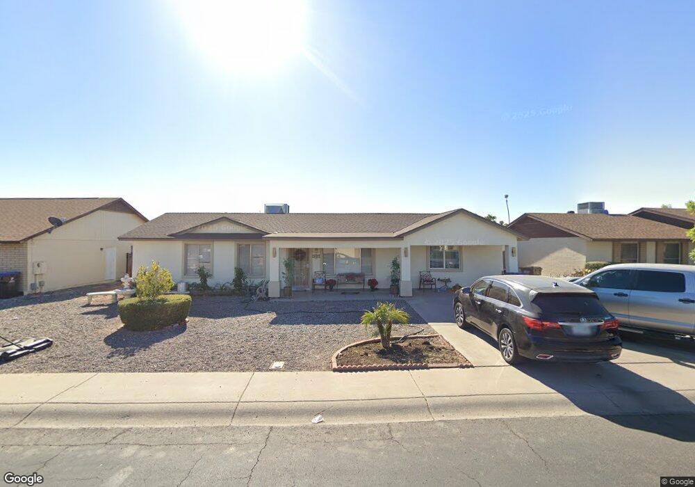
10437 W Ruth Ave Peoria, AZ 85345
Estimated Value: $289,933 - $441,000
--
Bed
1
Bath
1,994
Sq Ft
$185/Sq Ft
Est. Value
About This Home
This home is located at 10437 W Ruth Ave, Peoria, AZ 85345 and is currently estimated at $368,983, approximately $185 per square foot. 10437 W Ruth Ave is a home located in Maricopa County with nearby schools including Country Meadows Elementary School, Raymond S. Kellis, and Ombudsman - Northwest Charter.
Ownership History
Date
Name
Owned For
Owner Type
Purchase Details
Closed on
Nov 24, 2015
Sold by
Conrad Jerry L and Davis Conrad Pamela B
Bought by
Diaz Maria E
Current Estimated Value
Purchase Details
Closed on
Nov 8, 2005
Sold by
Davis Conrad Pamela B
Bought by
Conrad Jerry L and Davis Conrad Pamela B
Home Financials for this Owner
Home Financials are based on the most recent Mortgage that was taken out on this home.
Original Mortgage
$90,000
Interest Rate
8.25%
Mortgage Type
Purchase Money Mortgage
Purchase Details
Closed on
Sep 26, 2005
Sold by
Davis Virginia J
Bought by
Conrad Pamela B
Home Financials for this Owner
Home Financials are based on the most recent Mortgage that was taken out on this home.
Original Mortgage
$90,000
Interest Rate
8.25%
Mortgage Type
Purchase Money Mortgage
Purchase Details
Closed on
Apr 10, 1996
Sold by
Davis Darrell D
Bought by
Conrad Pamela B Davis
Create a Home Valuation Report for This Property
The Home Valuation Report is an in-depth analysis detailing your home's value as well as a comparison with similar homes in the area
Home Values in the Area
Average Home Value in this Area
Purchase History
| Date | Buyer | Sale Price | Title Company |
|---|---|---|---|
| Diaz Maria E | $99,100 | None Available | |
| Conrad Jerry L | -- | Security Title Agency Inc | |
| Conrad Pamela B | -- | -- | |
| Conrad Pamela B Davis | -- | -- |
Source: Public Records
Mortgage History
| Date | Status | Borrower | Loan Amount |
|---|---|---|---|
| Previous Owner | Conrad Jerry L | $90,000 |
Source: Public Records
Tax History Compared to Growth
Tax History
| Year | Tax Paid | Tax Assessment Tax Assessment Total Assessment is a certain percentage of the fair market value that is determined by local assessors to be the total taxable value of land and additions on the property. | Land | Improvement |
|---|---|---|---|---|
| 2025 | $1,245 | $15,990 | -- | -- |
| 2024 | $584 | $7,257 | -- | -- |
| 2023 | $584 | $21,230 | $4,240 | $16,990 |
| 2022 | $572 | $16,070 | $3,210 | $12,860 |
| 2021 | $612 | $14,220 | $2,840 | $11,380 |
| 2020 | $618 | $13,100 | $2,620 | $10,480 |
| 2019 | $598 | $11,400 | $2,280 | $9,120 |
| 2018 | $578 | $9,950 | $1,990 | $7,960 |
| 2017 | $677 | $8,750 | $1,750 | $7,000 |
| 2016 | $669 | $7,860 | $1,570 | $6,290 |
| 2015 | $623 | $7,200 | $1,440 | $5,760 |
Source: Public Records
Map
Nearby Homes
- 10512 W Ruth Ave
- 8803 N 105th Dr
- 10603 W Ruth Ave
- 10512 W Butler Dr
- 8435 N 104th Dr Unit 3
- 10625 W Alice Ave
- 10621 W Lawrence Ln
- 8828 N 102nd Ln
- 10448 W Caron Dr
- 8800 N 107th Ave Unit 17
- 8800 N 107th Ave Unit 19
- 8601 N 103rd Ave Unit 72
- 8601 N 103rd Ave Unit 313
- 8601 N 103rd Ave Unit 166
- 10221 W Puget Ave
- 10326 W Caron Dr
- 8301 N 103rd Ave Unit 177
- 8301 N 103rd Ave Unit 53
- 10201 W Caron Dr
- 10516 W Griswold Rd
- 10439 W Ruth Ave
- 10431 W Ruth Ave
- 10432 W Diana Ave
- 10436 W Diana Ave
- 10426 W Diana Ave
- 10423 W Ruth Ave
- 10443 W Ruth Ave
- 10436 W Ruth Ave
- 10442 W Diana Ave
- 10428 W Ruth Ave
- 10440 W Ruth Ave
- 10422 W Diana Ave
- 10417 W Ruth Ave
- 10446 W Ruth Ave
- 10420 W Ruth Ave
- 10448 W Diana Ave
- 10416 W Diana Ave
- 10437 W Diana Ave
- 10433 W Alice Ave
- 10450 W Ruth Ave