10439 Carroll Rd Columbus, MI 48063
Estimated Value: $397,864 - $510,000
Studio
--
Bath
2,445
Sq Ft
$189/Sq Ft
Est. Value
About This Home
This home is located at 10439 Carroll Rd, Columbus, MI 48063 and is currently estimated at $461,288, approximately $188 per square foot. 10439 Carroll Rd is a home located in St. Clair County with nearby schools including Will L. Lee School, Richmond Middle School, and Richmond Community High School.
Ownership History
Date
Name
Owned For
Owner Type
Purchase Details
Closed on
Aug 17, 2016
Sold by
Mcdermott Paul E and Mcdermott Deborah Rhein
Bought by
Paul E And Deborah R Mcdermott Living Tr
Current Estimated Value
Create a Home Valuation Report for This Property
The Home Valuation Report is an in-depth analysis detailing your home's value as well as a comparison with similar homes in the area
Home Values in the Area
Average Home Value in this Area
Purchase History
| Date | Buyer | Sale Price | Title Company |
|---|---|---|---|
| Paul E And Deborah R Mcdermott Living Tr | -- | Attorney |
Source: Public Records
Tax History
| Year | Tax Paid | Tax Assessment Tax Assessment Total Assessment is a certain percentage of the fair market value that is determined by local assessors to be the total taxable value of land and additions on the property. | Land | Improvement |
|---|---|---|---|---|
| 2025 | $1,894 | $229,100 | $0 | $0 |
| 2024 | $1,858 | $201,200 | $0 | $0 |
| 2023 | $1,794 | $186,700 | $0 | $0 |
| 2022 | $2,748 | $167,500 | $0 | $0 |
| 2020 | $2,537 | $140,600 | $140,600 | $0 |
| 2019 | $2,244 | $135,600 | $0 | $0 |
| 2018 | $2,046 | $119,000 | $0 | $0 |
| 2017 | $1,420 | $116,400 | $0 | $0 |
| 2016 | $1,521 | $116,400 | $0 | $0 |
| 2015 | -- | $94,000 | $94,000 | $0 |
| 2014 | -- | $84,600 | $84,600 | $0 |
| 2013 | -- | $78,600 | $0 | $0 |
Source: Public Records
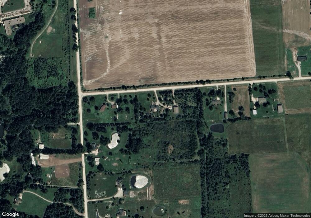
Map
Nearby Homes
- 0 00 Weber Rd 4001-001 Parcel 1 Rd Unit 50159551
- 0 00 Weber Rd 4001 - 080 Parcel 9 Rd
- 0 00 Weber Rd 4001 - 090 Parcel 10 Rd
- 00 Kroner Rd 4001 - 010 Parcel 2 Roads
- 0 00 Kroner Rd 4001 - 040 Parcel 5 Rd Unit 50159557
- 0 00 Kroner Rd 4001 - 060 Parcel 7 Rd Unit 50159560
- 0 00 Meskill Rd 4001 - 070 Parcel 8 & 1001-000 Rd Unit 50159561
- 9977 Weber Rd
- 0 Bauman Rd Unit 50090600
- 80131 Robert St
- 80619 Main St
- 0 Main St
- 9505 Dolan Rd
- 80185 Elinor St
- 34746 Benton St
- 34720 W Maple St
- Vacant Lot D Stoddard Rd
- 9227 Yager Rd
- 9202 Crawford Rd
- V/L Crawford Rd
- 10479 Carroll Rd
- 543 Stoddard Rd
- 10335 Carroll Rd
- 0 Carroll Unit 28155323
- 0 Carroll Unit 29141219
- 0 Carroll Unit 210142515
- 0 Carroll Unit 4557850
- 0 Carroll Unit 4556835
- 0 Carroll Unit 4252328
- 0 Carroll Unit 4968545
- 0 Carroll Unit 911058
- 0 Carroll Unit 913914
- 0 Carroll Unit 31024011
- 0 Carroll Unit 31036525
- 0 Carroll Unit G31395519
- 0 Carroll Unit Parcel A 31395519
- 0 Vacant Stoddard Rd Unit 58050140046
- 0 Vacant Stoddard Rd
- 10299 Carroll Rd
- 597 Stoddard Rd
Your Personal Tour Guide
Ask me questions while you tour the home.