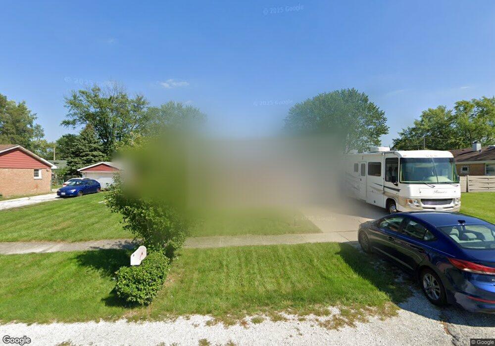
10439 S 82nd Ave Palos Hills, IL 60465
Estimated Value: $378,783 - $425,000
4
Beds
2
Baths
1,770
Sq Ft
$223/Sq Ft
Est. Value
About This Home
This home is located at 10439 S 82nd Ave, Palos Hills, IL 60465 and is currently estimated at $395,196, approximately $223 per square foot. 10439 S 82nd Ave is a home located in Cook County with nearby schools including Sorrick Elementary School, Oak Ridge Elementary School, and H H Conrady Jr High School.
Ownership History
Date
Name
Owned For
Owner Type
Purchase Details
Closed on
Mar 25, 1999
Sold by
Panozzo Albert J and Panozzo Barbara M
Bought by
Swicionis John J and Swicionis Deanna
Current Estimated Value
Home Financials for this Owner
Home Financials are based on the most recent Mortgage that was taken out on this home.
Original Mortgage
$84,250
Outstanding Balance
$20,721
Interest Rate
6.94%
Estimated Equity
$374,475
Create a Home Valuation Report for This Property
The Home Valuation Report is an in-depth analysis detailing your home's value as well as a comparison with similar homes in the area
Home Values in the Area
Average Home Value in this Area
Purchase History
| Date | Buyer | Sale Price | Title Company |
|---|---|---|---|
| Swicionis John J | $159,000 | Professional National Title |
Source: Public Records
Mortgage History
| Date | Status | Borrower | Loan Amount |
|---|---|---|---|
| Open | Swicionis John J | $84,250 |
Source: Public Records
Tax History Compared to Growth
Tax History
| Year | Tax Paid | Tax Assessment Tax Assessment Total Assessment is a certain percentage of the fair market value that is determined by local assessors to be the total taxable value of land and additions on the property. | Land | Improvement |
|---|---|---|---|---|
| 2024 | $6,844 | $27,000 | $7,775 | $19,225 |
| 2023 | $6,913 | $27,000 | $7,775 | $19,225 |
| 2022 | $6,913 | $22,367 | $6,772 | $15,595 |
| 2021 | $6,731 | $22,365 | $6,771 | $15,594 |
| 2020 | $6,668 | $22,365 | $6,771 | $15,594 |
| 2019 | $6,574 | $22,499 | $6,270 | $16,229 |
| 2018 | $6,327 | $22,499 | $6,270 | $16,229 |
| 2017 | $6,121 | $22,499 | $6,270 | $16,229 |
| 2016 | $5,558 | $18,585 | $5,517 | $13,068 |
| 2015 | $5,437 | $18,585 | $5,517 | $13,068 |
| 2014 | $5,358 | $18,585 | $5,517 | $13,068 |
| 2013 | $5,049 | $18,740 | $5,517 | $13,223 |
Source: Public Records
Map
Nearby Homes
- 10441 S 83rd Ave
- 10324 S 81st Ave
- 10531 S Roberts Rd Unit 2D
- 10427 S Alta Dr
- 10562 S 84th Ave
- 10226 S 81st Ave
- 10408 S Alta Dr
- 10125 S 81st Ct
- 10221 S Eleanor Ave
- 10230 S 83rd Ct
- 10820 Kathleen Ct Unit D
- 10148 S 84th Terrace Unit 215
- 7810 W 102nd St
- 8556 W 102nd Terrace Unit 5315
- 10927 Circle Dr
- 11001 Stony Creek Dr Unit 2C
- 10926 Circle Ct
- 8360 W 100th Place
- 10630 S Green Valley Dr
- 10845 S 84th Ave Unit 2A
- 10433 S 82nd Ave
- 10445 S 82nd Ave
- 10442 S 81st Ct
- 10436 S 81st Ct
- 10427 S 82nd Ave
- 10448 S 81st Ct
- 10430 S 81st Ct
- 10450 S 82nd Ave
- 10444 S 82nd Ave
- 10458 S 82nd Ave
- 10501 S 82nd Ave
- 10421 S 82nd Ave
- 10434 S 82nd Ave
- 10500 S 81st Ct
- 10424 S 81st Ct
- 10503 S 82nd Ave
- 10500 S 82nd Ave
- 10504 S 81st Ct
- 10415 S 82nd Ave
- 10430 S 82nd Ave