1044 Comd Oliver Hazard Perry Hwy South Kingstown, RI 02879
Estimated Value: $794,867 - $898,000
3
Beds
2
Baths
1,568
Sq Ft
$549/Sq Ft
Est. Value
About This Home
This home is located at 1044 Comd Oliver Hazard Perry Hwy, South Kingstown, RI 02879 and is currently estimated at $860,967, approximately $549 per square foot. 1044 Comd Oliver Hazard Perry Hwy is a home located in Washington County with nearby schools including South Kingstown High School, Monsignor Matthew Clarke Catholic Regional School, and South Shore School.
Ownership History
Date
Name
Owned For
Owner Type
Purchase Details
Closed on
Sep 30, 2004
Sold by
Howland Anne F and Colket Mary Hf
Bought by
Colket Robert
Current Estimated Value
Create a Home Valuation Report for This Property
The Home Valuation Report is an in-depth analysis detailing your home's value as well as a comparison with similar homes in the area
Home Values in the Area
Average Home Value in this Area
Purchase History
| Date | Buyer | Sale Price | Title Company |
|---|---|---|---|
| Colket Robert | $430,000 | -- | |
| Usa | $900,000 | -- |
Source: Public Records
Tax History Compared to Growth
Tax History
| Year | Tax Paid | Tax Assessment Tax Assessment Total Assessment is a certain percentage of the fair market value that is determined by local assessors to be the total taxable value of land and additions on the property. | Land | Improvement |
|---|---|---|---|---|
| 2025 | $6,777 | $758,100 | $520,800 | $237,300 |
| 2024 | $7,296 | $660,300 | $469,700 | $190,600 |
| 2023 | $7,296 | $660,300 | $469,700 | $190,600 |
| 2022 | $7,230 | $660,300 | $469,700 | $190,600 |
| 2021 | $6,300 | $436,000 | $296,600 | $139,400 |
| 2020 | $6,300 | $436,000 | $296,600 | $139,400 |
| 2019 | $6,300 | $436,000 | $296,600 | $139,400 |
| 2018 | $6,358 | $405,500 | $285,200 | $120,300 |
| 2017 | $6,208 | $405,500 | $285,200 | $120,300 |
| 2016 | $6,119 | $405,500 | $285,200 | $120,300 |
| 2015 | $5,908 | $380,700 | $260,800 | $119,900 |
| 2014 | $5,893 | $380,700 | $260,800 | $119,900 |
Source: Public Records
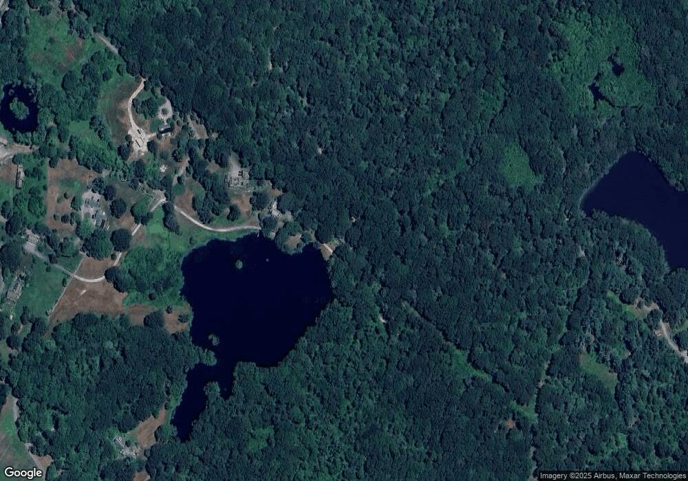
Map
Nearby Homes
- 47 Tuckertown Rd
- 1591 Commodore Perry Hwy
- 380 Camp Fuller Rd
- 35 Whittier Dr
- 37 Whittier Dr
- 103 Cedar Island Rd
- 333 South Rd
- 31 Winter St
- 23 Rockland Dr
- 98 Meadow Ave
- 5 Secluded Dr
- 2139 Commodore Oliver Hazard Perry Hwy
- 37 Columbia St
- 39 Hazard Ave
- 10 Hendricks St
- 40 Wild Rose Ct
- 45 Cherry Ln Unit C
- 16 High Tides Ln
- 156 River St Unit B
- 82 Foster Sheldon Rd
- 458 Post Rd Unit C
- 458 Post Rd Unit B
- 458 Post Rd Unit A
- 458A Post Rd
- 562 Post Rd
- 594 Post Rd Unit C
- 594 Post Rd Unit A
- 534 Post Rd
- 570 Post Rd
- 532 Post Rd
- 1034 Comd Oliver Hazard Perry Hwy
- 23 Spartina Cove Way
- 446 Post Rd
- 468 Post Rd
- 19 Spartina Cove Way
- 13 Spartina Cove Way
- 11 Spartina Cove Way
- 380 Post Rd Unit C
- 380 Post Rd Unit B
- 380 Post Rd Unit A