1044 Dennis Station Rd Eatonton, GA 31024
Estimated Value: $605,835 - $965,000
--
Bed
1
Bath
2,240
Sq Ft
$322/Sq Ft
Est. Value
About This Home
This home is located at 1044 Dennis Station Rd, Eatonton, GA 31024 and is currently estimated at $721,209, approximately $321 per square foot. 1044 Dennis Station Rd is a home located in Putnam County with nearby schools including Putnam County Primary School, Putnam County Elementary School, and Putnam County Middle School.
Ownership History
Date
Name
Owned For
Owner Type
Purchase Details
Closed on
Nov 10, 2004
Sold by
Robertson Dorothy W
Bought by
Higham John W
Current Estimated Value
Purchase Details
Closed on
Oct 8, 2004
Sold by
Robertson Dorothy W
Bought by
Higham John W and Higham Denae M
Purchase Details
Closed on
Mar 20, 2003
Sold by
Georgia Power Company
Bought by
Robertson Dorothy W
Purchase Details
Closed on
Mar 7, 2003
Sold by
Hudson Hugh
Bought by
Robertson Dorothy W
Purchase Details
Closed on
Jan 3, 2003
Sold by
Georgia Power Company
Bought by
Hudson Hugh
Create a Home Valuation Report for This Property
The Home Valuation Report is an in-depth analysis detailing your home's value as well as a comparison with similar homes in the area
Home Values in the Area
Average Home Value in this Area
Purchase History
| Date | Buyer | Sale Price | Title Company |
|---|---|---|---|
| Higham John W | $168,000 | -- | |
| Higham John W | $168,000 | -- | |
| Robertson Dorothy W | -- | -- | |
| Robertson Dorothy W | $102,500 | -- | |
| Hudson Hugh | -- | -- |
Source: Public Records
Tax History Compared to Growth
Tax History
| Year | Tax Paid | Tax Assessment Tax Assessment Total Assessment is a certain percentage of the fair market value that is determined by local assessors to be the total taxable value of land and additions on the property. | Land | Improvement |
|---|---|---|---|---|
| 2024 | $1,826 | $253,944 | $0 | $253,944 |
| 2023 | $1,826 | $261,246 | $0 | $261,246 |
| 2022 | $1,976 | $6,815 | $0 | $6,815 |
| 2021 | $2,198 | $150,131 | $0 | $150,131 |
| 2020 | $2,304 | $140,556 | $0 | $140,556 |
| 2019 | $2,365 | $132,802 | $0 | $132,802 |
| 2018 | $2,210 | $98,476 | $0 | $98,476 |
| 2017 | $1,995 | $98,476 | $0 | $98,476 |
| 2016 | $1,997 | $98,476 | $0 | $98,476 |
| 2015 | $1,925 | $98,477 | $0 | $98,477 |
| 2014 | $1,928 | $98,477 | $0 | $98,477 |
Source: Public Records
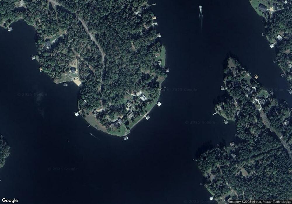
Map
Nearby Homes
- 1005 Dennis Station Rd
- 151 Lake Dr NW
- Lot 3 A Humber Ferry Rd
- 168 Stewart Dr NW
- 231C Little Rd NW
- 108 Village Way
- 110 Simmons Ln NW
- 186 Merry Dr NW
- 122 Merry Ct NW
- 125 Little Rd NW
- 156 Merry Dr NW
- 250 Merry Dr NW
- 252 Merry Dr NW
- 398 Riley Cir NW
- 429 Riley Cir NW
- 169 Admiralty Way NW
- 433 Riley Cir NW
- 437 Riley Cir NW
- 1040 Dennis Station Rd
- 1048 Dennis Station Rd
- 1038 Dennis Station Rd Unit 27
- 1038 Dennis Station Rd
- 1036 Dennis Station Rd
- 1030 Dennis Station Rd
- 1035 Dennis Station Rd
- 1020 Dennis Station Rd
- 1025 Dennis Station Rd
- 118 Stewart Trail NW
- 266 Stewart Dr NW
- 120 Stewart Trail NW
- 105 Bass Rd SW
- 274 Stewart Dr NW
- 115 Avant Ave NW
- 1016 Dennis Station Rd
- 276 Stewart Dr NW Unit 78
- 276 Stewart Dr NW
- 1016 Dennis Station Rd SW
- 122 Stewart Trail NW