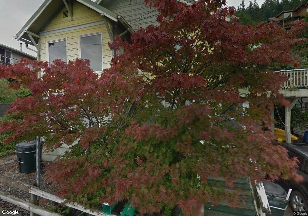
1044 Dunton St Ketchikan, AK 99901
Estimated Value: $390,441 - $398,000
4
Beds
3
Baths
1,515
Sq Ft
$260/Sq Ft
Est. Value
About This Home
This home is located at 1044 Dunton St, Ketchikan, AK 99901 and is currently estimated at $394,480, approximately $260 per square foot. 1044 Dunton St is a home located in Ketchikan Gateway Borough with nearby schools including Ketchikan High School, Tongass School of Arts & Sciences Charter School, and Ketchikan Charter School.
Ownership History
Date
Name
Owned For
Owner Type
Purchase Details
Closed on
Aug 13, 2003
Sold by
Joudrey Bonnie
Bought by
Weiss Jan R
Current Estimated Value
Home Financials for this Owner
Home Financials are based on the most recent Mortgage that was taken out on this home.
Original Mortgage
$119,810
Outstanding Balance
$51,490
Interest Rate
5.29%
Mortgage Type
FHA
Estimated Equity
$342,990
Create a Home Valuation Report for This Property
The Home Valuation Report is an in-depth analysis detailing your home's value as well as a comparison with similar homes in the area
Home Values in the Area
Average Home Value in this Area
Purchase History
| Date | Buyer | Sale Price | Title Company |
|---|---|---|---|
| Weiss Jan R | -- | -- |
Source: Public Records
Mortgage History
| Date | Status | Borrower | Loan Amount |
|---|---|---|---|
| Open | Weiss Jan R | $119,810 |
Source: Public Records
Tax History Compared to Growth
Tax History
| Year | Tax Paid | Tax Assessment Tax Assessment Total Assessment is a certain percentage of the fair market value that is determined by local assessors to be the total taxable value of land and additions on the property. | Land | Improvement |
|---|---|---|---|---|
| 2025 | $3,550 | $310,000 | $84,200 | $225,800 |
| 2024 | $3,361 | $296,100 | $80,300 | $215,800 |
| 2023 | $3,237 | $274,300 | $71,100 | $203,200 |
| 2022 | $3,128 | $265,100 | $71,100 | $194,000 |
| 2021 | $3,042 | $257,800 | $71,100 | $186,700 |
| 2020 | $2,963 | $255,400 | $68,700 | $186,700 |
| 2019 | $2,935 | $253,000 | $68,700 | $184,300 |
| 2018 | $2,895 | $249,600 | $68,700 | $180,900 |
| 2017 | $2,837 | $242,500 | $0 | $0 |
| 2016 | $2,774 | $237,100 | $0 | $0 |
| 2015 | -- | $201,700 | $0 | $0 |
| 2014 | -- | $201,700 | $0 | $0 |
Source: Public Records
Map
Nearby Homes
- 636 Water St
- 1254-1256 Water St
- 118 Elliot St
- 764-766 Forest Ave
- 1227 Black Bear Rd Unit 1229
- L8 B2 Gravina Island
- 1770-1772 2nd Ave
- 1770 2nd Ave
- 320 Bawden St Unit 613-614
- 320 Bawden St
- 320 Bawden St Unit 718
- 320 Bawden St Unit 509
- 800 BLK Miller Ridge Rd
- 1 Creek St
- 1350 Woodside Dr
- 772 Amundsen Way
- 2010 2nd Ave
- 835 Harris St
- 2030 2nd Ave
- 647 Park Ave
- 1104 Dunton St
- 1105 Millar St
- 1033 Millar St
- 319 Chapman Way
- 1038 Dunton St
- 1108 Dunton St
- 1022 Dunton St
- 1025 Dunton St
- 1035 Dunton St
- 1104 Millar St
- 1027 Millar St
- 1198 Millar St
- 1012 Dunton St
- 1032 Water St
- 1000 Dunton St
- 1019 Dunton St
- 1001 Dunton St
- 423 Upper Quinn St
- 1200 Millar St
- 1016 Water St