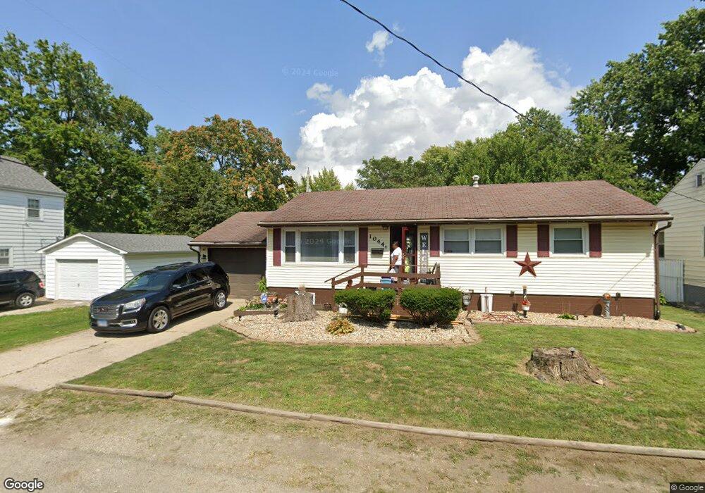
1044 Kyle Ct Decatur, IL 62522
Garfield Park NeighborhoodEstimated Value: $41,291 - $76,000
3
Beds
1
Bath
1,144
Sq Ft
$51/Sq Ft
Est. Value
About This Home
This home is located at 1044 Kyle Ct, Decatur, IL 62522 and is currently estimated at $58,073, approximately $50 per square foot. 1044 Kyle Ct is a home located in Macon County with nearby schools including Stephen Decatur Middle School, St. Patrick School, and Teen Challenge-Home For Girls.
Ownership History
Date
Name
Owned For
Owner Type
Purchase Details
Closed on
Dec 31, 2014
Sold by
Price Carolyn A
Bought by
Dean Lisha K
Current Estimated Value
Purchase Details
Closed on
Dec 1, 2014
Purchase Details
Closed on
Aug 18, 2006
Sold by
Francisco William E and Francisco Kimberly L
Bought by
Price Gary W and Price Carolyn A
Home Financials for this Owner
Home Financials are based on the most recent Mortgage that was taken out on this home.
Original Mortgage
$59,200
Interest Rate
11.12%
Mortgage Type
Adjustable Rate Mortgage/ARM
Purchase Details
Closed on
Jun 1, 2000
Create a Home Valuation Report for This Property
The Home Valuation Report is an in-depth analysis detailing your home's value as well as a comparison with similar homes in the area
Home Values in the Area
Average Home Value in this Area
Purchase History
| Date | Buyer | Sale Price | Title Company |
|---|---|---|---|
| Dean Lisha K | $13,500 | None Available | |
| -- | $13,400 | -- | |
| Price Gary W | $74,000 | None Available | |
| -- | $55,500 | -- |
Source: Public Records
Mortgage History
| Date | Status | Borrower | Loan Amount |
|---|---|---|---|
| Previous Owner | Price Gary W | $59,200 |
Source: Public Records
Tax History Compared to Growth
Tax History
| Year | Tax Paid | Tax Assessment Tax Assessment Total Assessment is a certain percentage of the fair market value that is determined by local assessors to be the total taxable value of land and additions on the property. | Land | Improvement |
|---|---|---|---|---|
| 2024 | $771 | $7,962 | $436 | $7,526 |
| 2023 | $764 | $7,681 | $421 | $7,260 |
| 2022 | $741 | $7,244 | $389 | $6,855 |
| 2021 | $696 | $6,766 | $364 | $6,402 |
| 2020 | $686 | $6,453 | $348 | $6,105 |
| 2019 | $686 | $6,453 | $348 | $6,105 |
| 2018 | $748 | $7,119 | $314 | $6,805 |
| 2017 | $766 | $7,309 | $322 | $6,987 |
| 2016 | $780 | $7,383 | $325 | $7,058 |
| 2015 | $741 | $7,252 | $319 | $6,933 |
| 2014 | $789 | $8,167 | $222 | $7,945 |
| 2013 | $809 | $8,473 | $230 | $8,243 |
Source: Public Records
Map
Nearby Homes
- 1065 W Green St
- 837 W Grand Ave
- 917 N Wilder Ave
- 1319 W Waggoner St
- 933 W Division St
- 1451 W Marietta St
- 875 N Monroe St
- 1545 N Monroe St
- 925 W Olive St
- 1653 N Maple Ave
- 1504 N Monroe St
- 958 W William St
- 415 W Green St
- 1535 N Mcclellan Ave
- 644 W Division St
- 844 N Edward St
- 1530 W Cushing St
- 1245 N Union St
- 1645 W Center St
- 254 N Pine St
- 1024 Kyle Ct
- 1039 W Packard St
- 1014 Kyle Ct
- 1052 Evans Ct
- 1031 W Packard St
- 1055 N Dunham Ave
- 1021 W Packard St
- 1059 W Packard St
- 1062 Evans Ct
- 1055 N Dunham St
- 1045 N Dunham Ave
- 1053 Evans Ct
- 1065 N Dunham St
- 1065 N Dunham Ave
- 1045 N Dunham St
- 1075 N Dunham St
- 1035 N Dunham Ave
- 1075 N Dunham Ave
- 1035 N Dunham St
- 1069 W Packard St