1044 Linkside Dr Birmingham, AL 35242
Greystone NeighborhoodEstimated Value: $505,000 - $580,000
3
Beds
4
Baths
2,565
Sq Ft
$215/Sq Ft
Est. Value
About This Home
This home is located at 1044 Linkside Dr, Birmingham, AL 35242 and is currently estimated at $551,900, approximately $215 per square foot. 1044 Linkside Dr is a home located in Shelby County with nearby schools including Greystone Elementary School, Berry Middle School, and Spain Park High School.
Ownership History
Date
Name
Owned For
Owner Type
Purchase Details
Closed on
Aug 15, 2012
Sold by
Davis Camilla Ann and Davis Marcus A
Bought by
Harden Peggy
Current Estimated Value
Purchase Details
Closed on
Nov 14, 2008
Sold by
Vaughan Betty L
Bought by
Davis Camilla Ann
Purchase Details
Closed on
Jul 13, 2005
Sold by
Vaughan Edgar D and Vaughan Betty L
Bought by
Vaughan Betty L
Purchase Details
Closed on
Oct 29, 2004
Sold by
Freeman John O and Freeman Marie C
Bought by
Vaughan Edgar D and Vaughan Betty L
Create a Home Valuation Report for This Property
The Home Valuation Report is an in-depth analysis detailing your home's value as well as a comparison with similar homes in the area
Home Values in the Area
Average Home Value in this Area
Purchase History
| Date | Buyer | Sale Price | Title Company |
|---|---|---|---|
| Harden Peggy | $330,000 | None Available | |
| Davis Camilla Ann | $304,500 | None Available | |
| Vaughan Betty L | -- | -- | |
| Vaughan Edgar D | $290,000 | -- |
Source: Public Records
Tax History Compared to Growth
Tax History
| Year | Tax Paid | Tax Assessment Tax Assessment Total Assessment is a certain percentage of the fair market value that is determined by local assessors to be the total taxable value of land and additions on the property. | Land | Improvement |
|---|---|---|---|---|
| 2024 | $2,769 | $41,640 | $0 | $0 |
| 2023 | -- | $40,320 | $0 | $0 |
| 2022 | $0 | $36,620 | $0 | $0 |
| 2021 | $0 | $36,280 | $0 | $0 |
| 2020 | $0 | $34,940 | $0 | $0 |
| 2019 | $1,864 | $34,800 | $0 | $0 |
| 2017 | $1,864 | $31,320 | $0 | $0 |
| 2015 | $1,778 | $29,880 | $0 | $0 |
| 2014 | $1,735 | $29,160 | $0 | $0 |
Source: Public Records
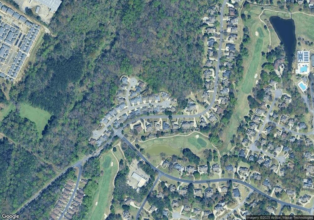
Map
Nearby Homes
- 1033 Linkside Dr
- 2157 Cameron Cir
- 5320 Greystone Way
- 1137 Berwick Rd
- 3653 Shandwick Place
- 3525 Shandwick Place
- 3536 Shandwick Place
- 3549 Shandwick Place
- 5029 Greystone Way
- 5056 Greystone Way
- 243 Courtside Dr Unit 45
- 5246 Greystone Way
- 987 Garland Cove
- 225 Courtside Dr
- 305 Hogans Alley
- 1315 Berwick Dr
- 1319 Berwick Dr
- 121 Palmer Cove
- 1257 Greystone Parc Dr
- 4539 High Court Cir
- 1040 Linkside Dr
- 1048 Linkside Dr
- 1045 Linkside Dr
- 1049 Linkside Dr
- 1041 Linkside Dr
- 1053 Linkside Dr
- 5410 Greystone Way
- 1056 Linkside Dr
- 1032 Linkside Dr
- 5414 Greystone Way
- 5406 Greystone Way Unit 5
- 5406 Greystone Way
- 1037 Linkside Dr
- 1057 Linkside Dr
- 1028 Linkside Dr
- 5402 Greystone Way
- 5418 Greystone Way
- 904 Linkside Way
- 912 Linkside Way
- 1024 Linkside Dr