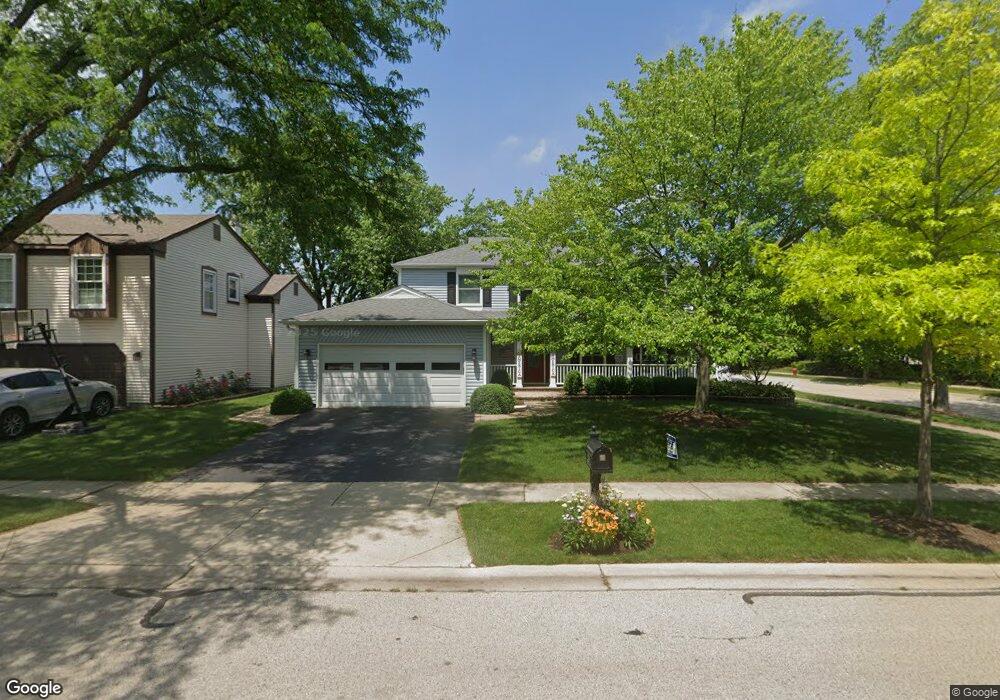
1044 Providence Ln Buffalo Grove, IL 60089
Estimated Value: $540,000 - $599,000
--
Bed
3
Baths
2,232
Sq Ft
$253/Sq Ft
Est. Value
About This Home
This home is located at 1044 Providence Ln, Buffalo Grove, IL 60089 and is currently estimated at $563,834, approximately $252 per square foot. 1044 Providence Ln is a home located in Lake County with nearby schools including Kildeer Countryside Elementary School, Woodlawn Middle School, and Adlai E Stevenson High School.
Ownership History
Date
Name
Owned For
Owner Type
Purchase Details
Closed on
Jun 18, 1999
Sold by
Donnelly Joseph and Donnelly Gertrude M
Bought by
Fitzpatrick Michael R and Fitzpatrick Erin E
Current Estimated Value
Home Financials for this Owner
Home Financials are based on the most recent Mortgage that was taken out on this home.
Original Mortgage
$208,000
Outstanding Balance
$55,309
Interest Rate
7.15%
Estimated Equity
$508,525
Create a Home Valuation Report for This Property
The Home Valuation Report is an in-depth analysis detailing your home's value as well as a comparison with similar homes in the area
Home Values in the Area
Average Home Value in this Area
Purchase History
| Date | Buyer | Sale Price | Title Company |
|---|---|---|---|
| Fitzpatrick Michael R | $260,000 | Chicago Title Insurance Co |
Source: Public Records
Mortgage History
| Date | Status | Borrower | Loan Amount |
|---|---|---|---|
| Open | Fitzpatrick Michael R | $208,000 |
Source: Public Records
Tax History Compared to Growth
Tax History
| Year | Tax Paid | Tax Assessment Tax Assessment Total Assessment is a certain percentage of the fair market value that is determined by local assessors to be the total taxable value of land and additions on the property. | Land | Improvement |
|---|---|---|---|---|
| 2024 | $13,030 | $164,564 | $35,896 | $128,668 |
| 2023 | $12,991 | $135,025 | $29,453 | $105,572 |
| 2022 | $12,991 | $130,583 | $28,484 | $102,099 |
| 2021 | $12,498 | $129,175 | $28,177 | $100,998 |
| 2020 | $12,204 | $129,616 | $28,273 | $101,343 |
| 2019 | $12,036 | $129,138 | $28,169 | $100,969 |
| 2018 | $12,379 | $136,682 | $27,836 | $108,846 |
| 2017 | $12,145 | $133,491 | $27,186 | $106,305 |
| 2016 | $11,829 | $127,828 | $26,033 | $101,795 |
| 2015 | $11,517 | $119,544 | $24,346 | $95,198 |
| 2014 | $10,139 | $104,511 | $26,147 | $78,364 |
| 2012 | $10,065 | $104,720 | $26,199 | $78,521 |
Source: Public Records
Map
Nearby Homes
- 1325 Fairfax Ln
- 1324 Fairfax Ln Unit B32
- 887 Saybrook Ln Unit 2
- 12 Cloverdale Ct
- 1357 Bristol Ln Unit Q4
- 1032 Courtland Dr Unit 9
- 1514 Sumter Dr
- 5107 N Arlington Heights Rd
- 950 Belmar Ln
- 800 Clohesey Dr
- 1545 Chickamauga Ln
- 1141 Devonshire Rd
- 931 Shady Grove Ln
- 890 Knollwood Dr
- 1265 Devonshire Rd
- 1242 Antietam Dr
- 610 Checker Dr
- 711 Woodhollow Ln
- 1728 Holly Ct
- 327 Lasalle Ln
- 1036 Providence Ln
- 957 Bedford Ct
- 1028 Providence Ln
- 1020 Providence Ln
- 949 Bedford Ct
- 1023 Providence Ln
- 1067 Providence Ln
- 1069 Providence Ln
- 1012 Providence Ln
- 1017 Providence Ln
- 941 Bedford Ct
- 1071 Providence Ln
- 944 Bedford Ct
- 1075 Providence Ln
- 1077 Providence Ln
- 1009 Providence Ln
- 1004 Providence Ln
- 1138 Bristol Ln
- 1138 Bristol Ln Unit 1138
- 933 Bedford Ct