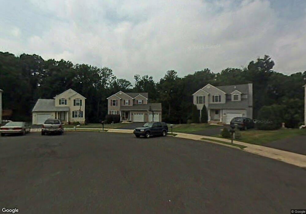
1044 Ryans Cir Glenside, PA 19038
Estimated Value: $493,000 - $697,000
3
Beds
3
Baths
2,364
Sq Ft
$250/Sq Ft
Est. Value
About This Home
This home is located at 1044 Ryans Cir, Glenside, PA 19038 and is currently estimated at $591,355, approximately $250 per square foot. 1044 Ryans Cir is a home located in Montgomery County with nearby schools including Roslyn School, Abington Middle School, and Abington Senior High School.
Ownership History
Date
Name
Owned For
Owner Type
Purchase Details
Closed on
Sep 23, 2015
Sold by
Ciganik Joseph and Ciganik Dawn
Bought by
Ciganik Dawn
Current Estimated Value
Home Financials for this Owner
Home Financials are based on the most recent Mortgage that was taken out on this home.
Original Mortgage
$128,000
Outstanding Balance
$100,433
Interest Rate
3.88%
Mortgage Type
New Conventional
Estimated Equity
$490,922
Purchase Details
Closed on
Sep 25, 1997
Sold by
Abington Glen Inc
Bought by
Ciganik Joseph and Ciganik Dawn
Create a Home Valuation Report for This Property
The Home Valuation Report is an in-depth analysis detailing your home's value as well as a comparison with similar homes in the area
Home Values in the Area
Average Home Value in this Area
Purchase History
| Date | Buyer | Sale Price | Title Company |
|---|---|---|---|
| Ciganik Dawn | -- | None Available | |
| Ciganik Joseph | $149,000 | -- |
Source: Public Records
Mortgage History
| Date | Status | Borrower | Loan Amount |
|---|---|---|---|
| Open | Ciganik Dawn | $128,000 |
Source: Public Records
Tax History Compared to Growth
Tax History
| Year | Tax Paid | Tax Assessment Tax Assessment Total Assessment is a certain percentage of the fair market value that is determined by local assessors to be the total taxable value of land and additions on the property. | Land | Improvement |
|---|---|---|---|---|
| 2025 | $8,348 | $180,270 | -- | -- |
| 2024 | $8,348 | $180,270 | -- | -- |
| 2023 | $8,001 | $180,270 | $0 | $0 |
| 2022 | $7,744 | $180,270 | $0 | $0 |
| 2021 | $7,327 | $180,270 | $0 | $0 |
| 2020 | $7,222 | $180,270 | $0 | $0 |
| 2019 | $7,222 | $180,270 | $0 | $0 |
| 2018 | $7,222 | $180,270 | $0 | $0 |
| 2017 | $7,009 | $180,270 | $0 | $0 |
| 2016 | $6,940 | $180,270 | $0 | $0 |
| 2015 | $6,728 | $180,270 | $0 | $0 |
| 2014 | $6,523 | $180,270 | $0 | $0 |
Source: Public Records
Map
Nearby Homes
- 2933 Susquehanna Rd
- 309 Woodside Cir
- 3012 Lincoln Ave
- 1212 Duncan Dr
- 2806 Anzac Ave
- 743 Penn Ave
- 2750 Turner Ave
- 25 Northview Dr
- 2653 Barnes Ave
- 722 Maple Ave
- 3225 Burn Brae Dr
- 623 Penn Ave
- 616 Tennis Ave
- 550 Penn Ave
- 624 Hamel Ave
- 2637 Woodland Rd
- 648 N Tyson Ave
- 502 Central Ave
- 541 Cardinal Dr
- 536 Cardinal Dr
- 1040 Ryans Cir
- 1048 Ryans Cir
- 1036 Ryans Cir
- 1045 Ryans Cir
- 1041 Ryans Cir
- 2967 Meyer Ave Unit 1
- 1035 Ryans Cir
- 3005 Meyer Ave
- 3001 Meyer Ave
- 3009 Meyer Ave
- 1031 Ryans Cir
- 2972 Madison Ave
- 2943 Meyer Ave
- 1024 Garfield Ave
- 2958 Meyer Ave
- 1016 Penn Ave
- 2954 Meyer Ave
- 1020 Garfield Ave
- 1040 Clemens Ave
- 1027 Garfield Ave