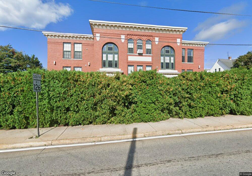
1044 Social St Unit D Woonsocket, RI 02895
Social District NeighborhoodEstimated Value: $246,000 - $259,535
2
Beds
1
Bath
1,051
Sq Ft
$241/Sq Ft
Est. Value
About This Home
This home is located at 1044 Social St Unit D, Woonsocket, RI 02895 and is currently estimated at $252,884, approximately $240 per square foot. 1044 Social St Unit D is a home located in Providence County with nearby schools including Woonsocket High School, Rise Prep Mayoral Academy Middle School, and Rise Prep Mayoral Academy.
Ownership History
Date
Name
Owned For
Owner Type
Purchase Details
Closed on
May 1, 2006
Sold by
De Blackstone Vly Hsng
Bought by
Tutalo Brian
Current Estimated Value
Home Financials for this Owner
Home Financials are based on the most recent Mortgage that was taken out on this home.
Original Mortgage
$108,000
Outstanding Balance
$61,863
Interest Rate
6.4%
Mortgage Type
Purchase Money Mortgage
Estimated Equity
$191,021
Create a Home Valuation Report for This Property
The Home Valuation Report is an in-depth analysis detailing your home's value as well as a comparison with similar homes in the area
Home Values in the Area
Average Home Value in this Area
Purchase History
| Date | Buyer | Sale Price | Title Company |
|---|---|---|---|
| Tutalo Brian | $135,000 | -- |
Source: Public Records
Mortgage History
| Date | Status | Borrower | Loan Amount |
|---|---|---|---|
| Open | Tutalo Brian | $6,000 | |
| Open | Tutalo Brian | $108,000 |
Source: Public Records
Tax History Compared to Growth
Tax History
| Year | Tax Paid | Tax Assessment Tax Assessment Total Assessment is a certain percentage of the fair market value that is determined by local assessors to be the total taxable value of land and additions on the property. | Land | Improvement |
|---|---|---|---|---|
| 2025 | $2,549 | $227,000 | $0 | $227,000 |
| 2024 | $2,113 | $145,300 | $0 | $145,300 |
| 2023 | $2,031 | $145,300 | $0 | $145,300 |
| 2022 | $2,031 | $145,300 | $0 | $145,300 |
| 2021 | $2,301 | $96,900 | $0 | $96,900 |
| 2020 | $2,326 | $96,900 | $0 | $96,900 |
| 2018 | $2,333 | $96,900 | $0 | $96,900 |
| 2017 | $2,715 | $90,200 | $0 | $90,200 |
| 2016 | $2,872 | $90,200 | $0 | $90,200 |
| 2015 | $3,300 | $90,200 | $0 | $90,200 |
| 2014 | $3,289 | $91,500 | $0 | $91,500 |
Source: Public Records
Map
Nearby Homes
- 13 Ethel St
- 96 E Mill St
- 84 Chester St
- 752 Social St
- 25 Lakeview St
- Lot 2 Pulaski Blvd
- 40 Valley St
- 685 Social St Unit 115
- 685 Social St Unit 308
- 685 Social St Unit 211
- 685 Social St Unit 215
- 60 Rathbun St
- 321 Dulude Ave
- 127 St Leon Ave
- 40 Burnside Ave
- 208 Dulude Ave
- 43 Edgewater Dr
- 203 Dulude Ave
- 7 Elmwood St
- 0 E School St
- 1044 Social St Unit F
- 1044 Social St Unit C
- 1044 Social St Unit B
- 1044 Social St Unit E
- 32 Charles St
- 44 Charles St
- 1055 Social St
- 283 Diamond Hill Rd
- 295 Diamond Hill Rd
- 1076 Social St
- 1076 Social St Unit 2
- 1076 Social St Unit 1
- 295 Diamond Hill Rd
- 1078 Social St
- 275 Diamond Hill Rd Unit 3F
- 275 Diamond Hill Rd Unit 2F
- 275 Diamond Hill Rd
- 1033 Social St
- 50 Charles St
- 1023 Social St