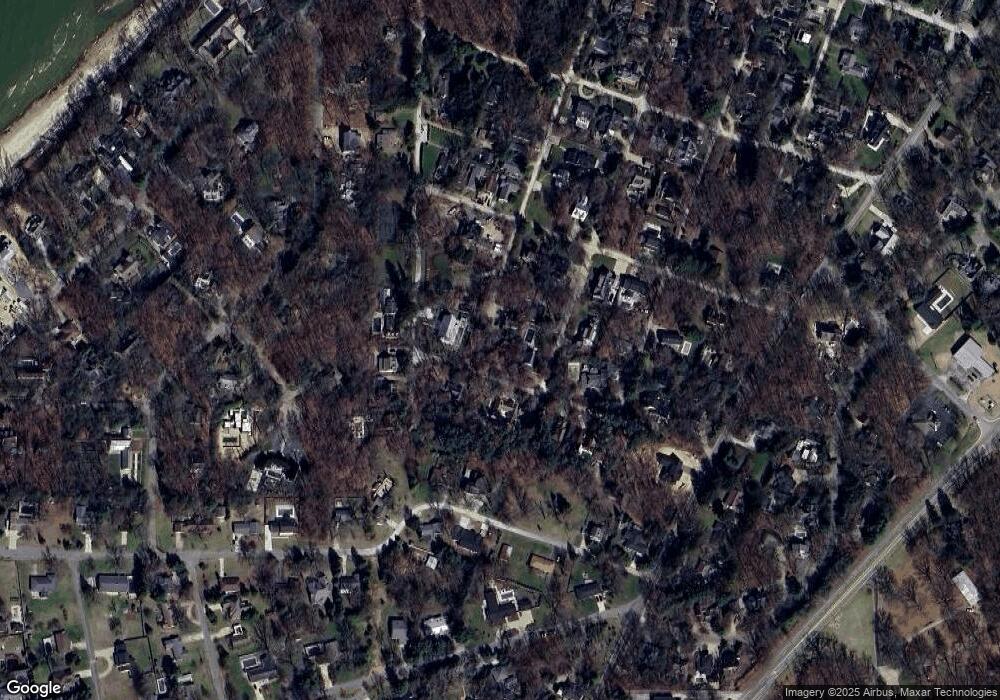
10441 Randall Rd Union Pier, MI 49129
Estimated Value: $1,936,000 - $2,183,773
--
Bed
1
Bath
4,080
Sq Ft
$501/Sq Ft
Est. Value
About This Home
This home is located at 10441 Randall Rd, Union Pier, MI 49129 and is currently estimated at $2,042,591, approximately $500 per square foot. 10441 Randall Rd is a home located in Berrien County with nearby schools including New Buffalo Elementary School, New Buffalo Middle School, and New Buffalo Senior High School.
Ownership History
Date
Name
Owned For
Owner Type
Purchase Details
Closed on
Nov 15, 2022
Sold by
Robert W Corley 2006 Declaration Of Trus
Bought by
Medville Kai and Shropshire Corilyn
Current Estimated Value
Home Financials for this Owner
Home Financials are based on the most recent Mortgage that was taken out on this home.
Original Mortgage
$1,049,300
Outstanding Balance
$1,016,703
Interest Rate
6.94%
Mortgage Type
New Conventional
Estimated Equity
$1,025,888
Purchase Details
Closed on
Jan 27, 2020
Sold by
Corley Robert W and Corley Christina M
Bought by
Corley Robert W and Corley Christina M
Purchase Details
Closed on
Jun 16, 2008
Sold by
Murray Michael and Murray Jane
Bought by
Corley Robert W and Corley Christina M
Purchase Details
Closed on
Dec 11, 1999
Create a Home Valuation Report for This Property
The Home Valuation Report is an in-depth analysis detailing your home's value as well as a comparison with similar homes in the area
Home Values in the Area
Average Home Value in this Area
Purchase History
| Date | Buyer | Sale Price | Title Company |
|---|---|---|---|
| Medville Kai | -- | -- | |
| Corley Robert W | -- | None Available | |
| Corley Robert W | -- | None Available | |
| -- | $350,000 | -- |
Source: Public Records
Mortgage History
| Date | Status | Borrower | Loan Amount |
|---|---|---|---|
| Open | Medville Kai | $1,049,300 |
Source: Public Records
Tax History Compared to Growth
Tax History
| Year | Tax Paid | Tax Assessment Tax Assessment Total Assessment is a certain percentage of the fair market value that is determined by local assessors to be the total taxable value of land and additions on the property. | Land | Improvement |
|---|---|---|---|---|
| 2025 | $24,192 | $836,100 | $0 | $0 |
| 2024 | $15,410 | $785,200 | $0 | $0 |
| 2023 | $14,676 | $595,500 | $0 | $0 |
| 2022 | $7,036 | $431,700 | $0 | $0 |
| 2021 | $10,767 | $463,400 | $108,600 | $354,800 |
| 2020 | $10,527 | $471,300 | $0 | $0 |
| 2019 | $10,417 | $482,000 | $90,900 | $391,100 |
| 2018 | $10,294 | $395,800 | $0 | $0 |
| 2017 | $10,353 | $366,700 | $0 | $0 |
| 2016 | $9,823 | $442,000 | $0 | $0 |
| 2015 | $9,763 | $358,500 | $0 | $0 |
| 2014 | $6,256 | $282,600 | $0 | $0 |
Source: Public Records
Map
Nearby Homes
- 16527 Gowdy Pkwy Unit Lot 78
- 10510 Kissman Dr
- 10520 Marquette Dr
- 16277 4th St
- Lot 12 Driftwood Cottages
- Lot 13 Driftwood Cottages
- Lot 11 Driftwood Cottages
- Lot 2 Driftwood Path
- Lot 3 Driftwood Path
- Lot 4 Driftwood Path
- Lot 10 Driftwood Cottages
- Lot 9 Driftwood Cottages
- Lot 8 Driftwood Cottages
- Lot 7 Driftwood Cottages
- 16351 Red Arrow Hwy
- 16225 Quality Ln
- Lot 7 Driftwood Path
- 10252 Town Line Ave
- 9604 9704 Community Hall Rd
- 15930 Lake Ave
- 10441 Randall Ave
- 10421 Randall Rd
- 10421 Randall Ave
- 16431 4th St
- 10440 Randall Rd
- 10367 Randall Ave
- 10454 Randall Ave
- 16420 3rd St
- 16411 4th St
- 10454 Randall Rd
- 16401 Gowdy Pkwy
- 16417 Gowdy Pkwy
- 0 Gowdy Pkwy
- 16440 Gowdy Pkwy
- 16421 3rd St
- 16465 Gowdy Pkwy
- 10420 Randall Rd
- 10403 Randall Rd
- 10430 Alice St
- 16410 3rd St
