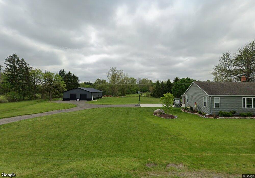
10443 W Pierson Rd Flushing, MI 48433
Estimated Value: $139,000 - $246,674
--
Bed
--
Bath
1,392
Sq Ft
$148/Sq Ft
Est. Value
About This Home
This home is located at 10443 W Pierson Rd, Flushing, MI 48433 and is currently estimated at $205,919, approximately $147 per square foot. 10443 W Pierson Rd is a home located in Genesee County with nearby schools including Seymour Elementary School, Flushing Middle School, and Flushing High School.
Ownership History
Date
Name
Owned For
Owner Type
Purchase Details
Closed on
Mar 24, 2020
Sold by
Rosencrantz Cory Lee and Rosencrantz Stephanie Ann
Bought by
Amended and Rosencrantz Restated Cory
Current Estimated Value
Purchase Details
Closed on
Jul 25, 2019
Sold by
Malloy Charles H and Malloy Charles
Bought by
Rosencrantz Cory
Purchase Details
Closed on
Feb 17, 2016
Sold by
Misjak Martin James and Misjak Spencer James
Bought by
Malloy Charlie
Purchase Details
Closed on
Jan 31, 2011
Sold by
Misjak James J and Misjak Mary M
Bought by
Misjak James J and Misjak Revocable Livin James J
Purchase Details
Closed on
Aug 27, 2007
Sold by
Howard Bessie and Howard Frank C
Bought by
Misjak James J
Create a Home Valuation Report for This Property
The Home Valuation Report is an in-depth analysis detailing your home's value as well as a comparison with similar homes in the area
Home Values in the Area
Average Home Value in this Area
Purchase History
| Date | Buyer | Sale Price | Title Company |
|---|---|---|---|
| Amended | -- | Cislo Title Co | |
| Rosencrantz Cory | $72,000 | Sargents Title Company Llc | |
| Malloy Charlie | -- | Attorney | |
| Misjak James J | -- | Attorney | |
| Misjak James J | $12,954 | None Available |
Source: Public Records
Tax History Compared to Growth
Tax History
| Year | Tax Paid | Tax Assessment Tax Assessment Total Assessment is a certain percentage of the fair market value that is determined by local assessors to be the total taxable value of land and additions on the property. | Land | Improvement |
|---|---|---|---|---|
| 2025 | $4,153 | $92,000 | $0 | $0 |
| 2024 | $2,877 | $86,500 | $0 | $0 |
| 2023 | $2,926 | $82,900 | $0 | $0 |
| 2022 | $3,991 | $76,800 | $0 | $0 |
| 2021 | $3,894 | $73,500 | $0 | $0 |
| 2020 | $2,672 | $71,200 | $0 | $0 |
| 2019 | $1,275 | $67,200 | $0 | $0 |
| 2018 | $2,239 | $63,200 | $0 | $0 |
| 2017 | $1,129 | $63,200 | $0 | $0 |
| 2016 | $2,049 | $62,700 | $0 | $0 |
| 2015 | $1,901 | $62,300 | $0 | $0 |
| 2014 | $1,111 | $60,600 | $0 | $0 |
| 2012 | -- | $58,600 | $58,600 | $0 |
Source: Public Records
Map
Nearby Homes
- 10167 W Pierson Rd
- 3372 Woodridge Dr
- 3462 Woodridge Dr
- 3470 Longmeadow Dr
- 219 Primrose Ln
- 308 N Seymour Rd
- 10101 Carpenter Rd
- 309 Arthur St
- 11358 W Carpenter Rd Rd
- 0 Winters Eave Dr Unit 50117986
- 538 Autumn Dr
- 000 Potter Rd
- 212 W Henry St
- 6289 W River Rd
- 0 E River Rd Unit 50180952
- 537 Sharon Dr
- 113 N Mckinley Rd
- 3330 Sheridan Rd
- 410 E Main St
- 5284 Chickasaw Trail
- 10401 W Pierson Rd
- 10345 W Pierson Rd
- 10457 W Pierson Rd
- 10469 W Pierson Rd
- 10385 W Pierson Rd
- 10367 W Pierson Rd
- 10299 W Pierson Rd
- 10333 W Pierson Rd
- 10344 W Pierson Rd
- 3370 Dillon Rd
- 3426 Dillon Rd
- 3360 Dillon Rd
- 3444 Dillon Rd
- 3452 Dillon Rd
- 3314 Dillon Rd
- 10225 W Pierson Rd
- 3256 Dillon Rd
- 10334 Potter Rd
- 11052 W Pierson Rd
- 3405 Dillon Rd