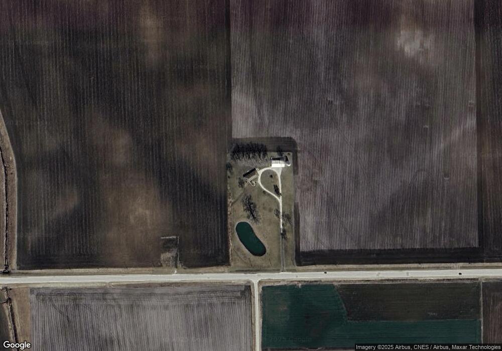
10443 W State Route 17 Bonfield, IL 60913
Estimated Value: $286,000 - $359,143
--
Bed
--
Bath
--
Sq Ft
10
Acres
About This Home
This home is located at 10443 W State Route 17, Bonfield, IL 60913 and is currently estimated at $322,572. 10443 W State Route 17 is a home located in Kankakee County with nearby schools including Herscher High School.
Create a Home Valuation Report for This Property
The Home Valuation Report is an in-depth analysis detailing your home's value as well as a comparison with similar homes in the area
Home Values in the Area
Average Home Value in this Area
Tax History Compared to Growth
Tax History
| Year | Tax Paid | Tax Assessment Tax Assessment Total Assessment is a certain percentage of the fair market value that is determined by local assessors to be the total taxable value of land and additions on the property. | Land | Improvement |
|---|---|---|---|---|
| 2024 | $7,220 | $111,057 | $19,850 | $91,207 |
| 2023 | $6,578 | $100,027 | $17,806 | $82,221 |
| 2022 | $6,049 | $91,091 | $16,134 | $74,957 |
| 2021 | $5,334 | $84,105 | $14,806 | $69,299 |
| 2020 | $5,390 | $82,980 | $14,486 | $68,494 |
| 2019 | $5,416 | $82,839 | $14,345 | $68,494 |
| 2018 | $5,424 | $82,711 | $14,217 | $68,494 |
| 2017 | $6,011 | $81,260 | $13,874 | $67,386 |
| 2016 | $5,846 | $78,933 | $13,391 | $65,542 |
| 2015 | $5,365 | $75,650 | $12,754 | $62,896 |
| 2014 | $5,329 | $75,582 | $12,686 | $62,896 |
| 2013 | -- | $75,522 | $12,626 | $62,896 |
Source: Public Records
Map
Nearby Homes
- 0 W 3000 Rd N Unit 23921814
- 12710 W 1000n Rd
- 2414 N 7000w Rd
- 2434 N 7000w Rd
- 464 E Pilot Dr
- 4679 S 13000w Rd
- 5876 W 720n Rd
- 301 N Main St
- 4037 N 8000w Rd
- 4500 N 12000 Rd W
- 35 E Tobey Dr
- 4600 N 12000 Rd W
- 597 Jeanette St
- 688 Jeanette St
- 587 Jeanette St
- 431/441 E Myrtle Ave
- 476 E Kay St
- 678 Jeanette St
- 577 Jeanette St
- 473 E Kay St