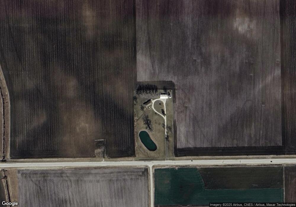
10443 W State Route 17 Bonfield, IL 60913
Estimated Value: $231,000 - $396,000
--
Bed
--
Bath
--
Sq Ft
80
Acres
About This Home
This home is located at 10443 W State Route 17, Bonfield, IL 60913 and is currently estimated at $296,503. 10443 W State Route 17 is a home located in Kankakee County with nearby schools including Herscher High School.
Create a Home Valuation Report for This Property
The Home Valuation Report is an in-depth analysis detailing your home's value as well as a comparison with similar homes in the area
Home Values in the Area
Average Home Value in this Area
Tax History Compared to Growth
Tax History
| Year | Tax Paid | Tax Assessment Tax Assessment Total Assessment is a certain percentage of the fair market value that is determined by local assessors to be the total taxable value of land and additions on the property. | Land | Improvement |
|---|---|---|---|---|
| 2024 | $5,243 | $74,388 | $36,283 | $38,105 |
| 2023 | $4,924 | $68,262 | $32,566 | $35,696 |
| 2022 | $4,664 | $62,990 | $29,223 | $33,767 |
| 2021 | $4,483 | $58,703 | $26,250 | $32,453 |
| 2020 | $4,269 | $55,198 | $23,593 | $31,605 |
| 2019 | $4,041 | $51,955 | $21,169 | $30,786 |
| 2018 | $3,864 | $49,530 | $19,033 | $30,497 |
| 2017 | $3,672 | $46,917 | $17,039 | $29,878 |
| 2016 | $3,459 | $44,197 | $15,184 | $29,013 |
| 2015 | $3,129 | $41,379 | $13,455 | $27,924 |
| 2014 | $3,051 | $40,390 | $12,466 | $27,924 |
| 2013 | -- | $39,520 | $11,596 | $27,924 |
Source: Public Records
Map
Nearby Homes
- 0 W 3000 Rd N Unit 23921814
- 12710 W 1000n Rd
- 2414 N 7000w Rd
- 2434 N 7000w Rd
- 464 E Pilot Dr
- 4679 S 13000w Rd
- 5876 W 720n Rd
- 301 N Main St
- 4037 N 8000w Rd
- 4500 N 12000 Rd W
- 35 E Tobey Dr
- 4600 N 12000 Rd W
- 597 Jeanette St
- 688 Jeanette St
- 587 Jeanette St
- 431/441 E Myrtle Ave
- 476 E Kay St
- 678 Jeanette St
- 577 Jeanette St
- 473 E Kay St