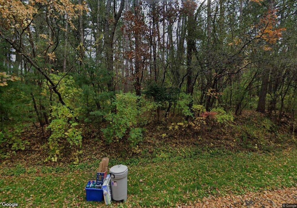
10445 Deerpath Rd Woodstock, IL 60098
Estimated Value: $587,356 - $718,000
3
Beds
--
Bath
2,652
Sq Ft
$251/Sq Ft
Est. Value
About This Home
This home is located at 10445 Deerpath Rd, Woodstock, IL 60098 and is currently estimated at $665,339, approximately $250 per square foot. 10445 Deerpath Rd is a home located in McHenry County with nearby schools including Olson Elementary School, Creekside Middle School, and Woodstock High School.
Ownership History
Date
Name
Owned For
Owner Type
Purchase Details
Closed on
Jan 30, 2010
Sold by
Leveille Bert
Bought by
Dahlstrom Roger K
Current Estimated Value
Purchase Details
Closed on
Apr 5, 2000
Sold by
Francis Richard E and Francis Jane D
Bought by
Dahlstrom Roger K and Leveille Bert
Home Financials for this Owner
Home Financials are based on the most recent Mortgage that was taken out on this home.
Original Mortgage
$180,000
Interest Rate
8.29%
Purchase Details
Closed on
Nov 20, 1993
Sold by
Home State Bank National Assn
Bought by
Francis Richard E and Francis Jane D
Home Financials for this Owner
Home Financials are based on the most recent Mortgage that was taken out on this home.
Original Mortgage
$260,000
Interest Rate
4.25%
Create a Home Valuation Report for This Property
The Home Valuation Report is an in-depth analysis detailing your home's value as well as a comparison with similar homes in the area
Home Values in the Area
Average Home Value in this Area
Purchase History
| Date | Buyer | Sale Price | Title Company |
|---|---|---|---|
| Dahlstrom Roger K | -- | None Available | |
| Dahlstrom Roger K | $360,000 | Chicago Title | |
| Francis Richard E | -- | -- |
Source: Public Records
Mortgage History
| Date | Status | Borrower | Loan Amount |
|---|---|---|---|
| Previous Owner | Dahlstrom Roger K | $180,000 | |
| Previous Owner | Francis Richard E | $260,000 |
Source: Public Records
Tax History Compared to Growth
Tax History
| Year | Tax Paid | Tax Assessment Tax Assessment Total Assessment is a certain percentage of the fair market value that is determined by local assessors to be the total taxable value of land and additions on the property. | Land | Improvement |
|---|---|---|---|---|
| 2024 | $13,837 | $188,091 | $38,837 | $149,254 |
| 2023 | $13,409 | $170,095 | $35,121 | $134,974 |
| 2022 | $12,650 | $150,954 | $31,169 | $119,785 |
| 2021 | $12,193 | $141,039 | $29,122 | $111,917 |
| 2020 | $11,866 | $134,017 | $27,672 | $106,345 |
| 2019 | $12,219 | $135,373 | $27,952 | $107,421 |
| 2018 | $13,174 | $144,519 | $31,885 | $112,634 |
| 2017 | $12,989 | $136,017 | $30,009 | $106,008 |
| 2016 | $12,964 | $125,942 | $27,786 | $98,156 |
| 2013 | -- | $111,397 | $40,102 | $71,295 |
Source: Public Records
Map
Nearby Homes
- 1551 Bobolink Cir
- 1601 Bobolink Cir
- Lot #10 Oakmont Ct
- Lot #9 Oakmont Ct
- Lot #6 Oakmont Ct
- Lot #5 Oakmont Ct
- Lot #4 Oakmont Ct
- Lot #3 Oakmont Ct
- Lot #2 Oakmont Ct
- 1624 Bull Valley Dr
- Lot #18 Oakmont Dr
- Lot #16 Oakmont Dr
- Lot #15 Oakmont Dr
- Lot #14 Oakmont Dr
- Lot #13 Oakmont Dr
- 1322 Bull Valley Dr
- 1133 Bull Valley Dr
- 10500 Bull Valley Dr
- 10630 White Face Ct
- Lot #23 Ridgemoor Trail
- 10505 Deerpath Rd
- 10439 Deerpath Rd
- 1550 Bobolink Cir
- 1546 Bobolink Cir
- 10438 Deerpath Rd
- 0 Bull Valley Dr Unit 9901649
- 0 Bull Valley Dr Unit 6922876
- 0 Bull Valley Dr Unit 9167591
- 000 Bull Valley Dr
- 172 Bull Valley Dr
- 1544 Bull Valley Dr
- 1552 Bobolink Cir
- 10431 Deerpath Rd
- 10424 Deerpath Rd
- 1542 Bull Valley Dr
- 10515 Deerpath Rd
- 1554 Bobolink Cir
- 1540 Bull Valley Dr
- 10520 Deerpath Rd
- 1608 Bull Valley Dr
