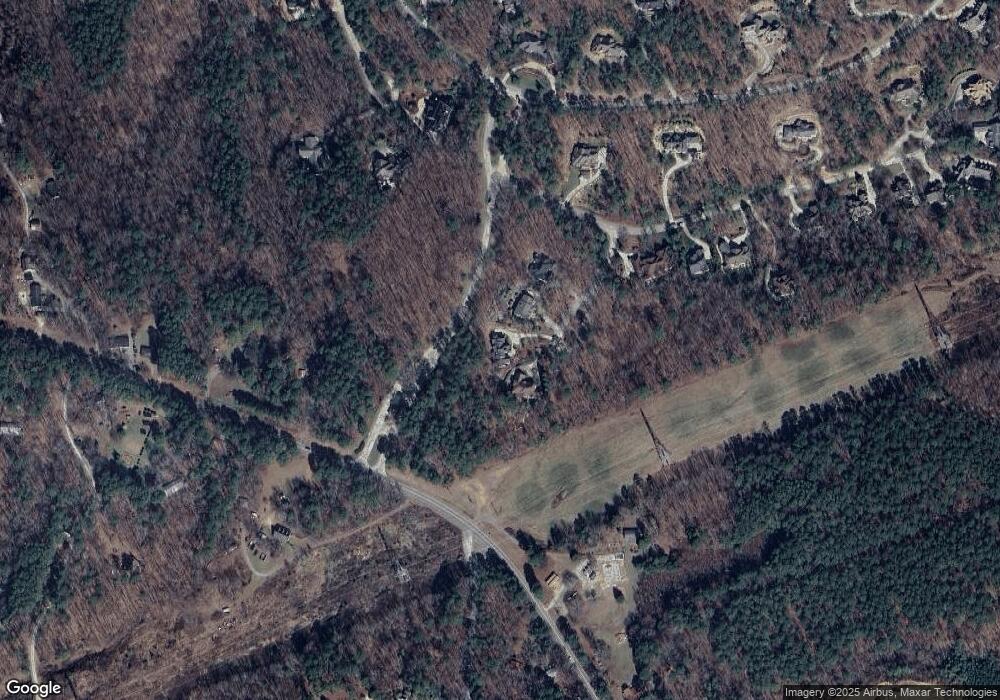
10449 Council Chapel Hill, NC 27517
Governors Club NeighborhoodEstimated Value: $1,082,000 - $1,378,000
3
Beds
4
Baths
3,615
Sq Ft
$333/Sq Ft
Est. Value
About This Home
This home is located at 10449 Council, Chapel Hill, NC 27517 and is currently estimated at $1,204,688, approximately $333 per square foot. 10449 Council is a home located in Chatham County with nearby schools including North Chatham Elementary School, Margaret B. Pollard Middle School, and Holy Youth Christian Academy.
Ownership History
Date
Name
Owned For
Owner Type
Purchase Details
Closed on
Mar 9, 2015
Sold by
Meister Gerhard and Meister Phyllis Tan
Bought by
Kelly Matthew M and Kelly Jennifer Amy
Current Estimated Value
Home Financials for this Owner
Home Financials are based on the most recent Mortgage that was taken out on this home.
Original Mortgage
$70,312
Outstanding Balance
$53,872
Interest Rate
3.69%
Mortgage Type
Future Advance Clause Open End Mortgage
Estimated Equity
$1,150,816
Create a Home Valuation Report for This Property
The Home Valuation Report is an in-depth analysis detailing your home's value as well as a comparison with similar homes in the area
Home Values in the Area
Average Home Value in this Area
Purchase History
| Date | Buyer | Sale Price | Title Company |
|---|---|---|---|
| Kelly Matthew M | $95,000 | None Available |
Source: Public Records
Mortgage History
| Date | Status | Borrower | Loan Amount |
|---|---|---|---|
| Open | Kelly Matthew M | $70,312 |
Source: Public Records
Tax History Compared to Growth
Tax History
| Year | Tax Paid | Tax Assessment Tax Assessment Total Assessment is a certain percentage of the fair market value that is determined by local assessors to be the total taxable value of land and additions on the property. | Land | Improvement |
|---|---|---|---|---|
| 2024 | $8,439 | $748,450 | $161,262 | $587,188 |
| 2023 | $6,521 | $748,450 | $161,262 | $587,188 |
| 2022 | $5,985 | $748,450 | $161,262 | $587,188 |
| 2021 | $5,911 | $748,450 | $161,262 | $587,188 |
| 2020 | $5,508 | $691,922 | $103,062 | $588,860 |
| 2019 | $5,508 | $691,922 | $103,062 | $588,860 |
| 2018 | $5,150 | $691,922 | $103,062 | $588,860 |
| 2017 | $5,150 | $691,922 | $103,062 | $588,860 |
| 2016 | $1,301 | $176,625 | $109,125 | $67,500 |
| 2015 | $791 | $109,125 | $109,125 | $0 |
| 2014 | $775 | $109,125 | $109,125 | $0 |
| 2013 | -- | $109,125 | $109,125 | $0 |
Source: Public Records
Map
Nearby Homes
- 10412 Stone
- 11608 Morehead
- 32529 Archdale
- 16106 Morehead
- 22005 Turner
- 122 W Beech Slope Ct
- 64 W Beech Slope Ct
- 32430 Archdale
- 25303 Ludwell
- 19102 Stone Brook
- 23930 Cherry Dr
- 286 Beech Slope Ct
- 74006 Harvey
- 40002 Worth
- 77004 Miller
- 70011 Morehead
- 70009 Morehead
- 70007 Morehead
- 70005 Morehead
- 23106 Umstead
- 10449 Council Unit 1252
- 10454 Council
- 10454 Council Unit 1251
- 10453 Council
- 10450 Council
- 0 Council Unit 1885354
- 0 Council Unit 1250 TR1885354
- 10455 Council
- 10452 Council Unit 1250
- 0 Council Unit 1250
- 10452 Council
- 10448 Council Unit 1248
- 10448 Council
- 1663 Lystra Rd
- 10446 Council
- 10421 Stone
- 10433 Swain
- 10433 Swain Unit 1230
- 1242 Swain
- LT1243 Swain
