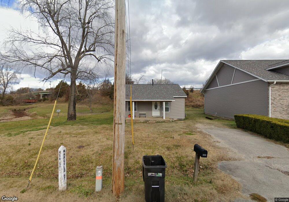
1045 Ash St Poplar Bluff, MO 63901
Estimated Value: $198,000 - $337,000
Studio
--
Bath
3,267
Sq Ft
$86/Sq Ft
Est. Value
About This Home
This home is located at 1045 Ash St, Poplar Bluff, MO 63901 and is currently estimated at $282,059, approximately $86 per square foot. 1045 Ash St is a home with nearby schools including Eugene Field Elementary School, Poplar Bluff Fifth & Sixth Grade Center, and Poplar Bluff Junior High School.
Ownership History
Date
Name
Owned For
Owner Type
Purchase Details
Closed on
Oct 22, 2025
Sold by
Cheshire Shirley Fay
Bought by
Cheshire Shirley Fay and Ash Street Properties Llc
Current Estimated Value
Purchase Details
Closed on
Jul 26, 2009
Sold by
Cheshire Rickle Carl and Cheshire Rick C
Bought by
Cheshire Shirley Fay and Cheshire Shirley F
Purchase Details
Closed on
Apr 10, 2009
Sold by
Cheshire Rickie Carl and Cheshire Rick C
Bought by
Cheshire Shirley Fay and Cheshire Shirley F
Purchase Details
Closed on
Jan 10, 2005
Sold by
Sullivan Tony and Sullivan Tammy
Bought by
Cheshire Rick and Cheshire Shirley
Home Financials for this Owner
Home Financials are based on the most recent Mortgage that was taken out on this home.
Original Mortgage
$22,506
Interest Rate
5.74%
Mortgage Type
Future Advance Clause Open End Mortgage
Create a Home Valuation Report for This Property
The Home Valuation Report is an in-depth analysis detailing your home's value as well as a comparison with similar homes in the area
Home Values in the Area
Average Home Value in this Area
Purchase History
| Date | Buyer | Sale Price | Title Company |
|---|---|---|---|
| Cheshire Shirley Fay | -- | None Listed On Document | |
| Cheshire Shirley Fay | -- | -- | |
| Cheshire Shirley Fay | -- | -- | |
| Cheshire Rick | -- | -- |
Source: Public Records
Mortgage History
| Date | Status | Borrower | Loan Amount |
|---|---|---|---|
| Previous Owner | Cheshire Rick | $22,506 |
Source: Public Records
Tax History
| Year | Tax Paid | Tax Assessment Tax Assessment Total Assessment is a certain percentage of the fair market value that is determined by local assessors to be the total taxable value of land and additions on the property. | Land | Improvement |
|---|---|---|---|---|
| 2025 | $3,007 | $63,740 | $0 | $0 |
| 2024 | $2,844 | $58,850 | $0 | $0 |
| 2023 | $2,843 | $58,850 | $0 | $0 |
| 2022 | $2,744 | $56,900 | $0 | $0 |
| 2021 | $2,745 | $56,900 | $0 | $0 |
| 2020 | $2,592 | $52,990 | $0 | $0 |
| 2019 | $2,589 | $52,990 | $0 | $0 |
| 2018 | $2,589 | $52,990 | $0 | $0 |
| 2017 | -- | $52,990 | $0 | $0 |
| 2016 | -- | $52,990 | $0 | $0 |
| 2015 | -- | $52,990 | $0 | $0 |
| 2014 | -- | $49,360 | $0 | $0 |
| 2012 | $2,089 | $49,070 | $0 | $0 |
Source: Public Records
Map
Nearby Homes
- 2202 Mangold St
- 1009 Nickey St
- 2325 Mangold St
- 912 Delano St
- 1000 W Victor St
- 2335 Cheshire Blvd
- 713 W Victor St
- 518 W Victor St
- 625 Dewey St
- 2017 Tennessee St
- 1620 Thomas St
- 2320 Thomas St
- 816 Kendall Dr
- 251 Hampton Ct
- 925 Kendall Dr
- 1300 Highway 53
- 1931 Brentwood Rd
- 945 Cedar St
- 122 S 11th St
- 2025 Wasson Dr
- 1034 Ash St
- 2103 Mangold St
- 0 Missouri 53
- 1200 Highway 53
- 1600 Pike St
- 1035 Franklin St
- 1033 Franklin St
- 1006 W Henry St
- 1101 Mangold St
- 1029 Franklin St
- 1024 W Henry St
- 1107 Franklin St
- 1023 Franklin St
- 1012 W Henry St
- 1103 W State Route 53 St
- 1115 Franklin St
- 1023 W Henry St
- 1032 Franklin St
- 1019 W Henry St
- 1017 Franklin St
Your Personal Tour Guide
Ask me questions while you tour the home.