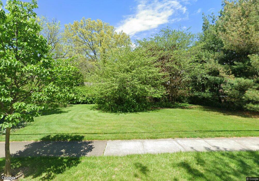
1045 Derbydale Rd Akron, OH 44306
Ellet NeighborhoodEstimated Value: $195,738 - $210,000
3
Beds
2
Baths
1,430
Sq Ft
$140/Sq Ft
Est. Value
About This Home
This home is located at 1045 Derbydale Rd, Akron, OH 44306 and is currently estimated at $200,435, approximately $140 per square foot. 1045 Derbydale Rd is a home located in Summit County with nearby schools including Ellet High School, Eagle Elementary, and Academy of the Immaculate Heart of Mary.
Ownership History
Date
Name
Owned For
Owner Type
Purchase Details
Closed on
Feb 26, 2007
Sold by
Sherman Mildred L
Bought by
Cunningham Sherry Lee
Current Estimated Value
Purchase Details
Closed on
May 1, 2003
Sold by
Gum David L
Bought by
Sherman Mildred L
Purchase Details
Closed on
May 8, 2002
Sold by
Mize Fredericka M
Bought by
Gum David L and Cunningham Sherry
Home Financials for this Owner
Home Financials are based on the most recent Mortgage that was taken out on this home.
Original Mortgage
$93,750
Interest Rate
7.24%
Create a Home Valuation Report for This Property
The Home Valuation Report is an in-depth analysis detailing your home's value as well as a comparison with similar homes in the area
Home Values in the Area
Average Home Value in this Area
Purchase History
| Date | Buyer | Sale Price | Title Company |
|---|---|---|---|
| Cunningham Sherry Lee | -- | Attorney | |
| Sherman Mildred L | -- | -- | |
| Gum David L | $125,000 | Americas Choice Title Agency |
Source: Public Records
Mortgage History
| Date | Status | Borrower | Loan Amount |
|---|---|---|---|
| Previous Owner | Gum David L | $93,750 |
Source: Public Records
Tax History Compared to Growth
Tax History
| Year | Tax Paid | Tax Assessment Tax Assessment Total Assessment is a certain percentage of the fair market value that is determined by local assessors to be the total taxable value of land and additions on the property. | Land | Improvement |
|---|---|---|---|---|
| 2025 | $2,374 | $50,957 | $17,094 | $33,863 |
| 2024 | $2,374 | $50,957 | $17,094 | $33,863 |
| 2023 | $2,374 | $50,957 | $17,094 | $33,863 |
| 2022 | $1,950 | $33,971 | $11,396 | $22,575 |
| 2021 | $1,952 | $33,971 | $11,396 | $22,575 |
| 2020 | $1,926 | $33,980 | $11,400 | $22,580 |
| 2019 | $2,074 | $33,760 | $10,370 | $23,390 |
| 2018 | $2,049 | $33,760 | $10,370 | $23,390 |
| 2017 | $2,044 | $33,760 | $10,370 | $23,390 |
| 2016 | $2,045 | $33,280 | $10,370 | $22,910 |
| 2015 | $2,044 | $33,280 | $10,370 | $22,910 |
| 2014 | $2,030 | $33,280 | $10,370 | $22,910 |
| 2013 | $2,097 | $34,800 | $10,370 | $24,430 |
Source: Public Records
Map
Nearby Homes
- 1728 S Arlington St
- 1043 Krumroy Rd
- 1511 Acoma Dr
- 2188 Stahl Rd
- 1658 Betz Dr
- 1649 Betz Dr
- 0 Woodview Dr
- 1575 Faye Rd
- 738 E Warner Rd
- 1645 Hammel St
- 1861 & 1863 Highview Ave
- 1899 Edwards Dr
- 1882 Gless Ave
- 1576 Hammel St
- 960 Donald Ave
- 944 Donald Ave
- 1102 Palmetto Ave
- 1140 Palmetto Ave
- 1731 Highview Ave
- 1088 Buena Vista Dr
- 1057 Derbydale Rd
- 1063 Derbydale Rd
- 1067 Derbydale Rd
- 1720 Mohawk Dr
- 1036 Derbydale Rd
- 1056 Derbydale Rd Unit 1058
- 1064 Derbydale Rd
- 1073 Derbydale Rd
- 1062 Derbydale Rd Unit 1064
- 1034 Derbydale Rd
- 1706 Mohawk Dr Unit 1708
- 1756 Mohawk Dr
- 1700 Mohawk Dr
- 1843 S Arlington St
- 1823 Anton Dr
- 1723 Mohawk Dr
- 1774 Mohawk Dr
- 1735 Mohawk Dr
- 1745 Mohawk Dr
- 1733 Mohawk Dr Unit 1735
