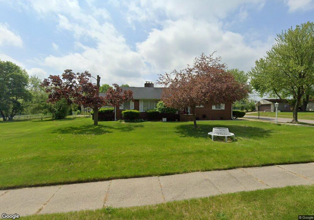
1045 Dover Rd Pontiac, MI 48341
Estimated Value: $258,000 - $290,000
3
Beds
3
Baths
2,083
Sq Ft
$128/Sq Ft
Est. Value
About This Home
This home is located at 1045 Dover Rd, Pontiac, MI 48341 and is currently estimated at $267,457, approximately $128 per square foot. 1045 Dover Rd is a home located in Oakland County with nearby schools including Walt Whitman Elementary School, Pontiac Middle School, and Pontiac High School.
Ownership History
Date
Name
Owned For
Owner Type
Purchase Details
Closed on
Mar 7, 2023
Sold by
Tassin Crystal E
Bought by
Allen Crystal E
Current Estimated Value
Purchase Details
Closed on
Jul 30, 2010
Sold by
Rydman Deborah and Joyce E Malone Revocable Trust
Bought by
Tassin Crystal E
Purchase Details
Closed on
Nov 13, 2009
Sold by
Rydman Deborah L and Malone Thomas L
Bought by
Rydman Deborah L
Purchase Details
Closed on
Aug 25, 2008
Sold by
Malone Thomas L and Malone Joyce E
Bought by
The Joyce E Malone Revocable Trust
Create a Home Valuation Report for This Property
The Home Valuation Report is an in-depth analysis detailing your home's value as well as a comparison with similar homes in the area
Home Values in the Area
Average Home Value in this Area
Purchase History
| Date | Buyer | Sale Price | Title Company |
|---|---|---|---|
| Allen Crystal E | -- | -- | |
| Tassin Crystal E | $70,000 | Troy Abstract & Title Agency | |
| Rydman Deborah L | -- | None Available | |
| The Joyce E Malone Revocable Trust | -- | None Available |
Source: Public Records
Tax History
| Year | Tax Paid | Tax Assessment Tax Assessment Total Assessment is a certain percentage of the fair market value that is determined by local assessors to be the total taxable value of land and additions on the property. | Land | Improvement |
|---|---|---|---|---|
| 2025 | $2,060 | $126,660 | $0 | $0 |
| 2024 | $1,885 | $120,140 | $0 | $0 |
| 2023 | $1,797 | $109,160 | $0 | $0 |
| 2022 | $1,808 | $96,070 | $0 | $0 |
| 2021 | $1,754 | $84,480 | $0 | $0 |
| 2020 | $1,632 | $77,050 | $0 | $0 |
| 2019 | $1,722 | $68,290 | $0 | $0 |
| 2018 | $1,672 | $57,660 | $0 | $0 |
| 2017 | $1,581 | $52,210 | $0 | $0 |
| 2016 | $1,601 | $45,550 | $0 | $0 |
| 2015 | -- | $41,600 | $0 | $0 |
| 2014 | -- | $40,600 | $0 | $0 |
| 2011 | -- | $55,430 | $0 | $0 |
Source: Public Records
Map
Nearby Homes
- 1061 Dorchester Ave
- 1755 Wellington Ave
- 0000 Ward Road Ward Rd
- 1785 Ward Rd
- 40 Canal Dr Unit 300-040
- 2051 Avondale St
- 2085 Pontiac Dr
- 18 Edna Ave
- 258 Voorheis St
- 285 Voorheis St
- 000 Lake St
- 10 Wenonah Dr
- 2021 Klingensmith Rd Unit 88
- 2021 Klingensmith Rd Unit 83
- 1179 Oaklawn Dr
- 1997 Klingensmith Rd Unit 55
- 1968 Maplewood Ave
- 160 Chippewa Rd
- 403 Voorheis St
- 2171 Klingensmith Rd
- 1038 Golf Dr
- 1053 Dover Rd
- 1057 Dover Rd
- 1061 Dover Rd
- 1071 Canterbury Dr
- 1065 Dover Rd
- 1078 Canterbury Dr
- 1067 Canterbury Dr
- 1070 Cantbury Dr
- 1070 Canterbury Dr
- 1063 Canterbury Dr
- 1073 Dover Rd
- 1066 Dover Rd
- 1066 Canterbury Dr
- 1077 Dover Rd
- 1059 Canterbury Dr
- 1039 Golf Dr
- 1070 Dover Rd
- 1062 Canterbury Dr
- 1055 Canterbury Dr
Your Personal Tour Guide
Ask me questions while you tour the home.