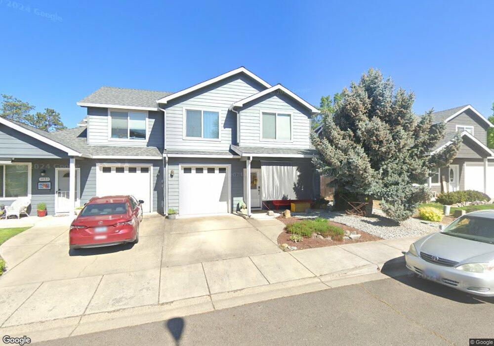
1045 Megan Ln Phoenix, OR 97535
Estimated Value: $347,000 - $408,000
3
Beds
3
Baths
1,787
Sq Ft
$207/Sq Ft
Est. Value
About This Home
This home is located at 1045 Megan Ln, Phoenix, OR 97535 and is currently estimated at $369,539, approximately $206 per square foot. 1045 Megan Ln is a home located in Jackson County with nearby schools including Phoenix Elementary School, Talent Middle School, and Phoenix High School.
Ownership History
Date
Name
Owned For
Owner Type
Purchase Details
Closed on
Apr 4, 2007
Sold by
Gmac Mortgage Llc
Bought by
Mosley Helen B
Current Estimated Value
Home Financials for this Owner
Home Financials are based on the most recent Mortgage that was taken out on this home.
Original Mortgage
$100,000
Outstanding Balance
$59,256
Interest Rate
6.15%
Mortgage Type
Purchase Money Mortgage
Estimated Equity
$310,283
Purchase Details
Closed on
Nov 30, 2006
Sold by
Ritchie Clinton L
Bought by
Gmac Mortgage Corp
Purchase Details
Closed on
Jun 20, 2005
Sold by
Dunn T Scott
Bought by
Ritchie Clinton L
Home Financials for this Owner
Home Financials are based on the most recent Mortgage that was taken out on this home.
Original Mortgage
$192,800
Interest Rate
7.3%
Mortgage Type
Unknown
Create a Home Valuation Report for This Property
The Home Valuation Report is an in-depth analysis detailing your home's value as well as a comparison with similar homes in the area
Home Values in the Area
Average Home Value in this Area
Purchase History
| Date | Buyer | Sale Price | Title Company |
|---|---|---|---|
| Mosley Helen B | $230,000 | First American | |
| Gmac Mortgage Corp | $215,534 | Fa | |
| Ritchie Clinton L | -- | Amerititle |
Source: Public Records
Mortgage History
| Date | Status | Borrower | Loan Amount |
|---|---|---|---|
| Open | Mosley Helen B | $100,000 | |
| Previous Owner | Ritchie Clinton L | $192,800 |
Source: Public Records
Tax History
| Year | Tax Paid | Tax Assessment Tax Assessment Total Assessment is a certain percentage of the fair market value that is determined by local assessors to be the total taxable value of land and additions on the property. | Land | Improvement |
|---|---|---|---|---|
| 2026 | $3,788 | $216,470 | $73,000 | $143,470 |
| 2025 | $3,698 | $230,610 | $85,380 | $145,230 |
| 2024 | $3,698 | $223,900 | $82,890 | $141,010 |
| 2023 | $3,582 | $217,380 | $80,470 | $136,910 |
| 2022 | $3,487 | $217,380 | $80,470 | $136,910 |
| 2021 | $3,404 | $211,050 | $78,130 | $132,920 |
| 2020 | $3,297 | $204,910 | $75,850 | $129,060 |
| 2019 | $3,209 | $193,160 | $71,490 | $121,670 |
| 2018 | $3,115 | $187,540 | $69,400 | $118,140 |
| 2017 | $2,943 | $187,540 | $69,400 | $118,140 |
| 2016 | $2,863 | $176,780 | $65,420 | $111,360 |
| 2015 | $2,752 | $176,780 | $65,420 | $111,360 |
| 2014 | $2,648 | $166,650 | $61,660 | $104,990 |
Source: Public Records
Map
Nearby Homes
- 3712 Colver Rd
- 105 W 1st St
- 201 S Rose St
- 130 Sharon Dr
- 401 Elm St
- 817 Amerman Dr
- 316 W 3rd St
- 0 Colver Rd
- 301 N Church St
- 111 E 1st St
- 3459 S Pacific Hwy
- 4624 S Pacific Hwy Unit 61
- 4624 S Pacific Hwy Unit 40
- 510 N Main St
- 300 Luman Rd Unit 200
- 4601 S Pacific Hwy Unit 8
- 600 N Main St
- 610 N Main St Unit 5A
- 612 N Main St
- 4729 S Pacific Hwy Unit 4
Your Personal Tour Guide
Ask me questions while you tour the home.