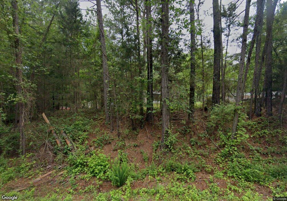
1045 Moore Rd Macon, GA 31220
Estimated Value: $99,265 - $309,000
--
Bed
1
Bath
1,160
Sq Ft
$206/Sq Ft
Est. Value
About This Home
This home is located at 1045 Moore Rd, Macon, GA 31220 and is currently estimated at $239,066, approximately $206 per square foot. 1045 Moore Rd is a home located in Monroe County with nearby schools including T.G. Scott Elementary School and Mary Persons High School.
Ownership History
Date
Name
Owned For
Owner Type
Purchase Details
Closed on
Jul 16, 2013
Sold by
Moore Willie Eddie
Bought by
Mckissick Joan
Current Estimated Value
Purchase Details
Closed on
Apr 29, 2004
Sold by
Moore Amos
Bought by
Moore Willie Eddie
Purchase Details
Closed on
Apr 13, 2004
Sold by
Montford Gladys Moore
Bought by
Moore Willie Eddie
Purchase Details
Closed on
Apr 4, 2004
Sold by
Moore Johnny Mack
Bought by
Moore Willie Eddie
Purchase Details
Closed on
Oct 29, 1970
Sold by
Moore Amoss
Bought by
Moore Willie
Create a Home Valuation Report for This Property
The Home Valuation Report is an in-depth analysis detailing your home's value as well as a comparison with similar homes in the area
Home Values in the Area
Average Home Value in this Area
Purchase History
| Date | Buyer | Sale Price | Title Company |
|---|---|---|---|
| Mckissick Joan | -- | -- | |
| Moore Willie Eddie | -- | -- | |
| Moore Willie Eddie | -- | -- | |
| Moore Willie Eddie | -- | -- | |
| Moore Willie | $500 | -- |
Source: Public Records
Tax History Compared to Growth
Tax History
| Year | Tax Paid | Tax Assessment Tax Assessment Total Assessment is a certain percentage of the fair market value that is determined by local assessors to be the total taxable value of land and additions on the property. | Land | Improvement |
|---|---|---|---|---|
| 2024 | -- | $28,744 | $10,840 | $17,904 |
| 2023 | $0 | $25,824 | $10,840 | $14,984 |
| 2022 | $724 | $25,824 | $10,840 | $14,984 |
| 2021 | $724 | $25,824 | $10,840 | $14,984 |
| 2020 | $742 | $25,824 | $10,840 | $14,984 |
| 2019 | $673 | $25,824 | $10,840 | $14,984 |
| 2018 | $0 | $25,824 | $10,840 | $14,984 |
| 2017 | $751 | $25,824 | $10,840 | $14,984 |
| 2016 | -- | $25,824 | $10,840 | $14,984 |
| 2015 | -- | $25,824 | $10,840 | $14,984 |
| 2014 | -- | $25,824 | $10,840 | $14,984 |
Source: Public Records
Map
Nearby Homes
- 1122 Irongate
- 112 Irongate
- 8692 Estes Rd
- 8757 Estes Rd
- 137 Shady Dale Dr
- 285 Lower Simmons Rd
- 283 Lower Simmons Rd
- 1409 Barrington Place Way
- Plan 3040 at Barrington Place
- Plan 2700 at Barrington Place
- Plan 2620 at Barrington Place
- Plan 2100 at Barrington Place
- Plan 2604 at Barrington Place
- Plan 2316 at Barrington Place
- 409 Cambridge Ct
- 202 Cambridge Way
- 1302 Barrington Place Cove
- 1146 Barrington Place Way
- 1150 Barrington Place Way
- 1154 Barrington Place Way
- 9425 Zebulon Rd
- 1021 Moore Rd
- 1032 Moore Rd
- 1012 Moore Rd
- 1054 Moore Rd
- 1000 Moore Rd
- 955 Moore Rd
- 987 Moore Rd
- 9483 Zebulon Rd
- 871 Moore Rd
- 9189 Zebulon Rd
- 9189 Zebulon Rd Unit 16
- 856 Moore Rd
- 814 Moore Rd
- 800 Moore Rd
- 9185 Zebulon Rd Unit LOT 1
- 9185 Zebulon Rd
- 867 Moore Rd
- 9183 Zebulon Rd
- 790 Moore Rd
