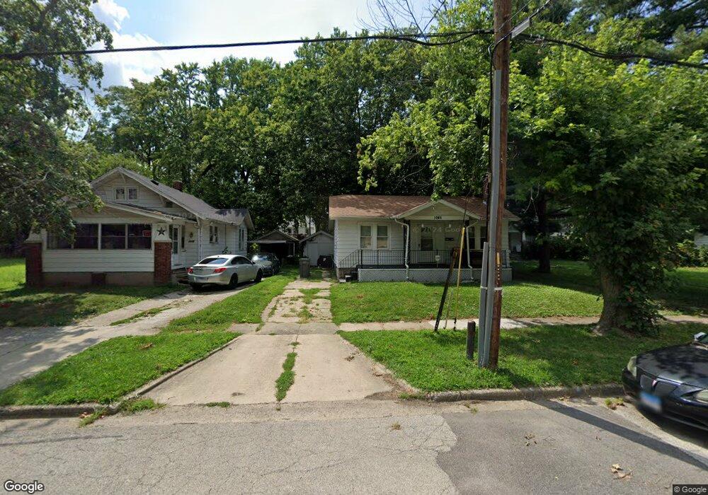
1045 N Dunham Ave Decatur, IL 62522
Garfield Park NeighborhoodEstimated Value: $28,000 - $52,911
2
Beds
1
Bath
960
Sq Ft
$43/Sq Ft
Est. Value
About This Home
This home is located at 1045 N Dunham Ave, Decatur, IL 62522 and is currently estimated at $41,228, approximately $42 per square foot. 1045 N Dunham Ave is a home located in Macon County with nearby schools including Stephen Decatur Middle School and Teen Challenge-Home For Girls.
Ownership History
Date
Name
Owned For
Owner Type
Purchase Details
Closed on
Dec 28, 2017
Sold by
Plato Damien D
Bought by
Kreher Dennis L
Current Estimated Value
Purchase Details
Closed on
Jun 20, 2012
Sold by
Fannie Mae
Bought by
Kreher Dennis L
Purchase Details
Closed on
Feb 14, 2012
Sold by
Hayes Ramon and Pnc Mortgage
Bought by
Federal National Mortgage Association
Purchase Details
Closed on
Sep 19, 2006
Sold by
Mckean Cynthia D
Bought by
Regions Bank
Create a Home Valuation Report for This Property
The Home Valuation Report is an in-depth analysis detailing your home's value as well as a comparison with similar homes in the area
Home Values in the Area
Average Home Value in this Area
Purchase History
| Date | Buyer | Sale Price | Title Company |
|---|---|---|---|
| Kreher Dennis L | -- | -- | |
| Kreher Dennis L | -- | None Available | |
| Federal National Mortgage Association | -- | None Available | |
| Regions Bank | $8,250 | None Available |
Source: Public Records
Tax History Compared to Growth
Tax History
| Year | Tax Paid | Tax Assessment Tax Assessment Total Assessment is a certain percentage of the fair market value that is determined by local assessors to be the total taxable value of land and additions on the property. | Land | Improvement |
|---|---|---|---|---|
| 2024 | $654 | $6,754 | $437 | $6,317 |
| 2023 | $648 | $6,515 | $422 | $6,093 |
| 2022 | $628 | $6,143 | $390 | $5,753 |
| 2021 | $590 | $5,738 | $365 | $5,373 |
| 2020 | $582 | $5,473 | $349 | $5,124 |
| 2019 | $582 | $5,473 | $349 | $5,124 |
| 2018 | $619 | $5,895 | $183 | $5,712 |
| 2017 | $634 | $6,052 | $188 | $5,864 |
| 2016 | $646 | $6,114 | $190 | $5,924 |
| 2015 | $614 | $6,006 | $187 | $5,819 |
| 2014 | $569 | $5,932 | $195 | $5,737 |
| 2013 | $588 | $6,154 | $202 | $5,952 |
Source: Public Records
Map
Nearby Homes
- 1065 W Green St
- 837 W Grand Ave
- 917 N Wilder Ave
- 1319 W Waggoner St
- 933 W Division St
- 1451 W Marietta St
- 875 N Monroe St
- 1545 N Monroe St
- 925 W Olive St
- 1653 N Maple Ave
- 1504 N Monroe St
- 958 W William St
- 415 W Green St
- 1535 N Mcclellan Ave
- 644 W Division St
- 844 N Edward St
- 1530 W Cushing St
- 1245 N Union St
- 1645 W Center St
- 254 N Pine St
- 1045 N Dunham St
- 1035 N Dunham Ave
- 1035 N Dunham St
- 1055 N Dunham St
- 1055 N Dunham Ave
- 1025 N Dunham St
- 1065 N Dunham St
- 1025 N Dunham Ave
- 1065 N Dunham Ave
- 1075 N Dunham St
- 1015 N Dunham Ave
- 1070 N Dunham Ave
- 1075 N Dunham Ave
- 1024 N Dunham Ave
- 1024 Kyle Ct
- 1021 W Packard St
- 1024 N Dunham St
- 1014 Kyle Ct
- 1003 N Dunham Ave
- 1044 Kyle Ct