1045 S 1700 W Unit BUI Payson, UT 84651
Estimated Value: $265,000 - $282,000
3
Beds
2
Baths
1,215
Sq Ft
$223/Sq Ft
Est. Value
About This Home
This home is located at 1045 S 1700 W Unit BUI, Payson, UT 84651 and is currently estimated at $271,302, approximately $223 per square foot. 1045 S 1700 W Unit BUI is a home located in Utah County with nearby schools including Taylor Elementary School, Mt. Nebo Junior High School, and Salem Junior High School.
Ownership History
Date
Name
Owned For
Owner Type
Purchase Details
Closed on
Jun 29, 2022
Sold by
Losee Clifford C
Bought by
Clifford And Irene Losee Living Trust
Current Estimated Value
Purchase Details
Closed on
Jul 30, 2012
Sold by
Federal National Mortgage Association
Bought by
Losee Clifford C and Losee Irene L
Home Financials for this Owner
Home Financials are based on the most recent Mortgage that was taken out on this home.
Original Mortgage
$117,900
Interest Rate
3.62%
Mortgage Type
New Conventional
Purchase Details
Closed on
May 1, 2012
Sold by
Allred Bret
Bought by
Federal Natioanl Mortgage Assn
Purchase Details
Closed on
Mar 10, 2008
Sold by
Ridge Stone Development Llc
Bought by
Allred Brett
Home Financials for this Owner
Home Financials are based on the most recent Mortgage that was taken out on this home.
Original Mortgage
$127,900
Interest Rate
6.42%
Mortgage Type
Purchase Money Mortgage
Create a Home Valuation Report for This Property
The Home Valuation Report is an in-depth analysis detailing your home's value as well as a comparison with similar homes in the area
Home Values in the Area
Average Home Value in this Area
Purchase History
| Date | Buyer | Sale Price | Title Company |
|---|---|---|---|
| Clifford And Irene Losee Living Trust | -- | None Listed On Document | |
| Losee Clifford C | -- | None Available | |
| Federal Natioanl Mortgage Assn | -- | None Available | |
| Allred Brett | -- | Utah First Title Insurance |
Source: Public Records
Mortgage History
| Date | Status | Borrower | Loan Amount |
|---|---|---|---|
| Previous Owner | Losee Clifford C | $117,900 | |
| Previous Owner | Allred Brett | $127,900 |
Source: Public Records
Tax History Compared to Growth
Tax History
| Year | Tax Paid | Tax Assessment Tax Assessment Total Assessment is a certain percentage of the fair market value that is determined by local assessors to be the total taxable value of land and additions on the property. | Land | Improvement |
|---|---|---|---|---|
| 2025 | $1,417 | $145,365 | $29,400 | $234,900 |
| 2024 | $1,417 | $144,210 | $0 | $0 |
| 2023 | $1,461 | $149,050 | $0 | $0 |
| 2022 | $1,393 | $139,865 | $0 | $0 |
| 2021 | $1,162 | $187,000 | $22,400 | $164,600 |
| 2020 | $1,131 | $178,100 | $21,400 | $156,700 |
| 2019 | $1,050 | $169,600 | $20,000 | $149,600 |
| 2018 | $1,018 | $158,500 | $20,000 | $138,500 |
| 2017 | $900 | $75,350 | $0 | $0 |
| 2016 | $847 | $70,400 | $0 | $0 |
| 2015 | $803 | $66,275 | $0 | $0 |
| 2014 | $787 | $65,450 | $0 | $0 |
Source: Public Records
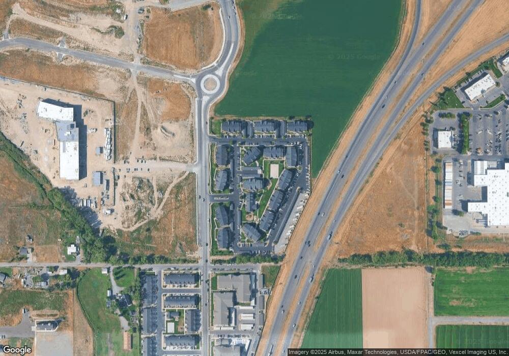
Map
Nearby Homes
- 1045 S 1700 W Unit 1232
- 1045 S 1700 W Unit 1533
- 1045 S 1700 W Unit 710
- 1045 S 1700 W Unit 311
- 2200 W 1130 St S
- 1704 W 1160 S
- 1716 W 1210 S
- 1546 W 800 S
- 1208 S 1740 W
- 841 N Dryland Cir Unit BALLAR
- 841 N Dryland Cir Unit DREXEL
- 841 N Dryland Cir Unit HILDAL
- 841 N Dryland Cir Unit WINDSR
- 841 N Dryland Cir Unit WAKEFI
- 841 N Dryland Cir Unit LUCAS
- 841 N Dryland Cir Unit AUBREY
- 841 N Dryland Cir Unit COLUMB
- 841 N Dryland Cir Unit HARMON
- 841 N Dryland Cir Unit CALDWL
- 1968 W 1150 S Unit 1028
- 1045 S 1700 W Unit BUI
- 1045 S 1700 W Unit BUI
- 1045 S 1700 W Unit BUI
- 1045 S 1700 W Unit BUI
- 1045 S 1700 W Unit BUI
- 1045 S 1700 W Unit BUI
- 1045 S 1700 W Unit BUI
- 1045 S 1700 W Unit BUI
- 1045 S 1700 W Unit BUI
- 1045 S 1700 W Unit BUI
- 1045 S 1700 W Unit BUI
- 1045 S 1700 W Unit BUI
- 1045 S 1700 W Unit BUI
- 1045 S 1700 W Unit BUI
- 1045 S 1700 W Unit BUI
- 1045 S 1700 W Unit BUI
- 1045 S 1700 W Unit BUI
- 1045 S 1700 W Unit BUI
- 1045 S 1700 W Unit BUI
- 1045 S 1700 W Unit BUI