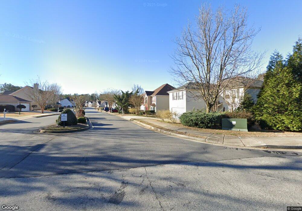
1045 Saint Augustine Pkwy Locust Grove, GA 30248
Estimated Value: $286,000 - $328,000
3
Beds
3
Baths
2,645
Sq Ft
$114/Sq Ft
Est. Value
About This Home
This home is located at 1045 Saint Augustine Pkwy, Locust Grove, GA 30248 and is currently estimated at $302,849, approximately $114 per square foot. 1045 Saint Augustine Pkwy is a home located in Henry County with nearby schools including Locust Grove Elementary School, Locust Grove Middle School, and Locust Grove High School.
Ownership History
Date
Name
Owned For
Owner Type
Purchase Details
Closed on
Jul 15, 2005
Sold by
Tradewinds Cmntys Inc
Bought by
Hector Donald R and Hector Dawn
Current Estimated Value
Home Financials for this Owner
Home Financials are based on the most recent Mortgage that was taken out on this home.
Original Mortgage
$158,746
Outstanding Balance
$81,902
Interest Rate
5.48%
Mortgage Type
VA
Estimated Equity
$220,947
Create a Home Valuation Report for This Property
The Home Valuation Report is an in-depth analysis detailing your home's value as well as a comparison with similar homes in the area
Home Values in the Area
Average Home Value in this Area
Purchase History
| Date | Buyer | Sale Price | Title Company |
|---|---|---|---|
| Hector Donald R | $160,000 | -- |
Source: Public Records
Mortgage History
| Date | Status | Borrower | Loan Amount |
|---|---|---|---|
| Open | Hector Donald R | $158,746 |
Source: Public Records
Tax History Compared to Growth
Tax History
| Year | Tax Paid | Tax Assessment Tax Assessment Total Assessment is a certain percentage of the fair market value that is determined by local assessors to be the total taxable value of land and additions on the property. | Land | Improvement |
|---|---|---|---|---|
| 2025 | $3,773 | $123,400 | $16,000 | $107,400 |
| 2024 | $3,773 | $119,920 | $16,000 | $103,920 |
| 2023 | $2,770 | $114,480 | $16,000 | $98,480 |
| 2022 | $3,114 | $107,200 | $16,000 | $91,200 |
| 2021 | $2,412 | $77,360 | $16,000 | $61,360 |
| 2020 | $2,305 | $72,800 | $12,000 | $60,800 |
| 2019 | $2,145 | $64,840 | $10,000 | $54,840 |
| 2018 | $1,983 | $59,880 | $9,200 | $50,680 |
| 2016 | $1,904 | $57,840 | $8,000 | $49,840 |
| 2015 | $1,797 | $53,520 | $8,000 | $45,520 |
| 2014 | $1,551 | $46,920 | $8,000 | $38,920 |
Source: Public Records
Map
Nearby Homes
- 1524 Queen Elizabeth Dr
- 1604 Lady Maria Ct
- 1020 Saint Augustine Pkwy
- 1119 Saint Phillips Ct
- 1134 Saint Phillips Ct
- 77 Rosser Ln
- 279 Indian Creek Rd
- 315 Clover Brook Dr
- 110 Ridge St
- 50 Grove Rd
- 239 Ferguson Ave
- 878 Jackson St
- 150 Aster Ave
- Cali Plan at Cedar Ridge - Locust Grove Station
- Belfort Plan at Cedar Ridge - Locust Grove Station
- Galen Plan at Cedar Ridge - Locust Grove Station
- Hayden Plan at Cedar Ridge - Locust Grove Station
- Packard Plan at Cedar Ridge - Locust Grove Station
- Flora Plan at Cedar Ridge - Locust Grove Station
- Penwell Plan at Cedar Ridge - Locust Grove Station
- 1043 Saint Augustine Pkwy
- 1047 Saint Augustine Pkwy
- 1432 Saint Teresa Ct
- 1428 Saint Teresa Ct
- 1041 Saint Augustine Pkwy
- 1046 Saint Augustine Pkwy
- 1436 Saint Teresa Ct
- 1424 Saint Teresa Ct
- 1048 Saint Augustine Pkwy
- 1044 Saint Augustine Pkwy Unit 3
- 1039 Saint Augustine Pkwy
- 1042 Saint Augustine Pkwy
- 1437 Saint Teresa Ct
- 1420 Saint Teresa Ct
- 1420 St Teresa Ct
- 1320 Saint Isabella Ct
- 1525 Queen Elizabeth Dr
- 1310 Saint Isabella Ct
- 1370 Saint Isabella Ct
- 1433 Saint Teresa Ct Unit 35