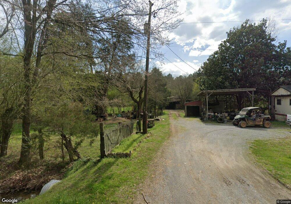
1045 Shiloh Rd Cedartown, GA 30125
Estimated Value: $26,005 - $208,000
--
Bed
1
Bath
--
Sq Ft
2.06
Acres
About This Home
This home is located at 1045 Shiloh Rd, Cedartown, GA 30125 and is currently estimated at $124,001. 1045 Shiloh Rd is a home located in Polk County.
Ownership History
Date
Name
Owned For
Owner Type
Purchase Details
Closed on
Dec 30, 2015
Sold by
Robinson Blanca Estella
Bought by
Robinson Neil
Current Estimated Value
Purchase Details
Closed on
Nov 5, 2013
Sold by
Tax Commissioner & Ex Of
Bought by
Robinson Blanca
Purchase Details
Closed on
May 16, 2011
Sold by
Segura Raul
Bought by
White Heather D
Home Financials for this Owner
Home Financials are based on the most recent Mortgage that was taken out on this home.
Original Mortgage
$52,267
Interest Rate
4.88%
Mortgage Type
New Conventional
Purchase Details
Closed on
May 5, 2009
Sold by
Edge David J
Bought by
Wells Fargo Bank Na
Purchase Details
Closed on
Jun 10, 2003
Sold by
Voyles Emory Lee and Geneva Claudette Voyl
Bought by
Edge David J and Stacy Edge
Purchase Details
Closed on
Nov 8, 2001
Sold by
Griffith Charles D and Griffith Carol B
Bought by
Voyles Emory Lee and Geneva Claudette
Create a Home Valuation Report for This Property
The Home Valuation Report is an in-depth analysis detailing your home's value as well as a comparison with similar homes in the area
Home Values in the Area
Average Home Value in this Area
Purchase History
| Date | Buyer | Sale Price | Title Company |
|---|---|---|---|
| Robinson Neil | -- | -- | |
| Robinson Blanca | -- | -- | |
| White Heather D | $50,000 | -- | |
| Wells Fargo Bank Na | $67,862 | -- | |
| Edge David J | $86,000 | -- | |
| Voyles Emory Lee | $65,000 | -- |
Source: Public Records
Mortgage History
| Date | Status | Borrower | Loan Amount |
|---|---|---|---|
| Previous Owner | Wells Fargo Bank Na | $52,267 |
Source: Public Records
Tax History Compared to Growth
Tax History
| Year | Tax Paid | Tax Assessment Tax Assessment Total Assessment is a certain percentage of the fair market value that is determined by local assessors to be the total taxable value of land and additions on the property. | Land | Improvement |
|---|---|---|---|---|
| 2024 | $82 | $3,919 | $3,919 | $0 |
| 2023 | $93 | $3,919 | $3,919 | $0 |
| 2022 | $62 | $2,612 | $2,612 | $0 |
| 2021 | $63 | $2,612 | $2,612 | $0 |
| 2020 | $63 | $2,612 | $2,612 | $0 |
| 2019 | $70 | $2,612 | $2,612 | $0 |
| 2018 | $72 | $2,612 | $2,612 | $0 |
| 2017 | $71 | $2,612 | $2,612 | $0 |
| 2016 | $96 | $3,512 | $3,512 | $0 |
| 2015 | $96 | $3,512 | $3,512 | $0 |
| 2014 | $97 | $3,512 | $3,512 | $0 |
Source: Public Records
Map
Nearby Homes
- 0 Treat Mountain Rd Unit 7643015
- 0 Treat Mountain Rd Unit 7634123
- 0 Treat Mountain Rd Unit 10586157
- 74 Hulsey Rd
- TR 3 Culp Lake Rd
- TR 2 Culp Lake Rd
- 745 Brewster Field Rd
- 859 Little Harmony Rd
- 0 Brewster Field Rd Unit 10623054
- 0 Brewster Field Rd Unit 7664244
- 2776 Piedmont Hwy
- 2202 Treat Mountain Rd
- 8702 Us Highway 278
- 0 Akes Station Rd Unit 25208781
- 0 Akes Station Rd Unit 25208783
- 0 Akes Station Rd Unit 25208784
- 0 Akes Station Rd Unit 25208785
- 0 Akes Station Rd Unit 25208782
- 0 Prior Station Rd Unit 7553984
- 0 Prior Station Rd Unit TRACT 4 10493804
