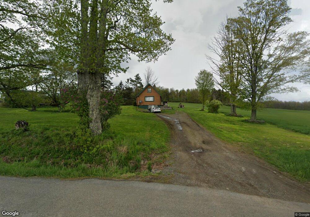
1045 State Route 2096 Hop Bottom, PA 18824
Estimated Value: $173,381 - $456,000
--
Bed
--
Bath
--
Sq Ft
1.06
Acres
About This Home
This home is located at 1045 State Route 2096, Hop Bottom, PA 18824 and is currently estimated at $298,095. 1045 State Route 2096 is a home with nearby schools including Mountain View Elementary School and Mountain View Junior/Senior High School.
Ownership History
Date
Name
Owned For
Owner Type
Purchase Details
Closed on
Oct 31, 2022
Sold by
Peet Noel E and Peet Dorothy A
Bought by
Stauffer Robert Allen
Current Estimated Value
Home Financials for this Owner
Home Financials are based on the most recent Mortgage that was taken out on this home.
Original Mortgage
$120,000
Outstanding Balance
$113,997
Interest Rate
4.75%
Mortgage Type
New Conventional
Estimated Equity
$184,098
Create a Home Valuation Report for This Property
The Home Valuation Report is an in-depth analysis detailing your home's value as well as a comparison with similar homes in the area
Home Values in the Area
Average Home Value in this Area
Purchase History
| Date | Buyer | Sale Price | Title Company |
|---|---|---|---|
| Stauffer Robert Allen | $150,000 | -- |
Source: Public Records
Mortgage History
| Date | Status | Borrower | Loan Amount |
|---|---|---|---|
| Open | Stauffer Robert Allen | $120,000 |
Source: Public Records
Tax History Compared to Growth
Tax History
| Year | Tax Paid | Tax Assessment Tax Assessment Total Assessment is a certain percentage of the fair market value that is determined by local assessors to be the total taxable value of land and additions on the property. | Land | Improvement |
|---|---|---|---|---|
| 2025 | $1,556 | $24,600 | $5,500 | $19,100 |
| 2024 | $1,514 | $24,600 | $5,500 | $19,100 |
| 2023 | $1,423 | $24,600 | $5,500 | $19,100 |
| 2022 | $1,409 | $24,500 | $5,400 | $19,100 |
| 2021 | $1,385 | $24,500 | $5,400 | $19,100 |
| 2020 | $1,331 | $24,500 | $5,400 | $19,100 |
| 2019 | $1,217 | $24,500 | $5,400 | $19,100 |
| 2018 | $1,303 | $24,500 | $5,400 | $19,100 |
| 2017 | $24,500 | $24,500 | $5,400 | $19,100 |
| 2016 | $1,214 | $24,500 | $5,400 | $19,100 |
| 2015 | $257 | $24,500 | $0 | $0 |
| 2014 | $257 | $24,500 | $0 | $0 |
Source: Public Records
Map
Nearby Homes
- 242 Shore Dr
- 120 Tara Ct
- 38 Prospect St
- 18254 State Route 3023
- 10 Bailey Rd
- 6898 Maple St
- 6983 Maple St
- 5396 Main St
- 5863 Main St
- 3926 Meshoppen Creek Rd
- 7988 State Route 29
- 1942 Hess Rd
- 11694 State Route 3004
- 5115 State Route 3013
- 956 Russell Rd
- 289 Main St
- 24 Oak St
- 70 State St
- 482 Lake View Dr
- 61 Granger Rd
- 1191 State Route 2096
- 819 State Route 2096
- 864 State Route 2096
- 752 State Route 2096
- 752 State Route 2096
- 694 State Route 2096
- 121 E Shore Dr
- 0 Valley Dr
- 1538 Shore Dr
- 3673 State Route 2009
- 1401 State Route 2009
- 3054 State Route 2009
- 1926 State Route 2096
- 1895 State Route 2096
- 722 Karhnak Rd
- 14825 Dimock To Nicholson Rd
- 14915 Dimock To Nicholson Rd