10450 Daisy Rd Carthage, MO 64836
Estimated Value: $593,000 - $887,487
5
Beds
3
Baths
4,287
Sq Ft
$163/Sq Ft
Est. Value
About This Home
This home is located at 10450 Daisy Rd, Carthage, MO 64836 and is currently estimated at $700,829, approximately $163 per square foot. 10450 Daisy Rd is a home located in Jasper County with nearby schools including Carthage High School.
Ownership History
Date
Name
Owned For
Owner Type
Purchase Details
Closed on
Apr 1, 2017
Sold by
Kiniry Ryan and Kiniry Maritza
Bought by
Moore Keith S and Moore Melissa K
Current Estimated Value
Home Financials for this Owner
Home Financials are based on the most recent Mortgage that was taken out on this home.
Original Mortgage
$370,000
Interest Rate
4.21%
Mortgage Type
New Conventional
Purchase Details
Closed on
Mar 4, 2013
Sold by
Freeman Michelle and Fisher Michelle
Bought by
Kiniry Ryan and Kiniry Maritza
Home Financials for this Owner
Home Financials are based on the most recent Mortgage that was taken out on this home.
Original Mortgage
$351,499
Interest Rate
3.43%
Mortgage Type
New Conventional
Purchase Details
Closed on
Jun 6, 2012
Sold by
Cochran Richard Eric
Bought by
Kite Heather Nichole
Purchase Details
Closed on
Sep 17, 2009
Sold by
Fisher Michelle R and Cochran Heather N
Bought by
Fisher Michelle and Cochran Heather
Create a Home Valuation Report for This Property
The Home Valuation Report is an in-depth analysis detailing your home's value as well as a comparison with similar homes in the area
Home Values in the Area
Average Home Value in this Area
Purchase History
| Date | Buyer | Sale Price | Title Company |
|---|---|---|---|
| Moore Keith S | -- | None Available | |
| Kiniry Ryan | -- | None Available | |
| Kite Heather Nichole | -- | None Available | |
| Fisher Michelle | -- | None Available |
Source: Public Records
Mortgage History
| Date | Status | Borrower | Loan Amount |
|---|---|---|---|
| Closed | Moore Keith S | $370,000 | |
| Previous Owner | Kiniry Ryan | $351,499 |
Source: Public Records
Tax History Compared to Growth
Tax History
| Year | Tax Paid | Tax Assessment Tax Assessment Total Assessment is a certain percentage of the fair market value that is determined by local assessors to be the total taxable value of land and additions on the property. | Land | Improvement |
|---|---|---|---|---|
| 2024 | $4,086 | $87,350 | $1,450 | $85,900 |
| 2023 | $4,086 | $87,350 | $1,450 | $85,900 |
| 2022 | $4,225 | $90,650 | $1,450 | $89,200 |
| 2021 | $4,175 | $90,650 | $1,450 | $89,200 |
| 2020 | $3,848 | $80,270 | $1,450 | $78,820 |
| 2019 | $3,829 | $79,720 | $1,450 | $78,270 |
| 2018 | $3,857 | $80,400 | $0 | $0 |
| 2017 | $3,865 | $80,360 | $0 | $0 |
| 2016 | $3,679 | $76,730 | $0 | $0 |
| 2015 | -- | $76,730 | $0 | $0 |
| 2014 | -- | $76,730 | $0 | $0 |
Source: Public Records
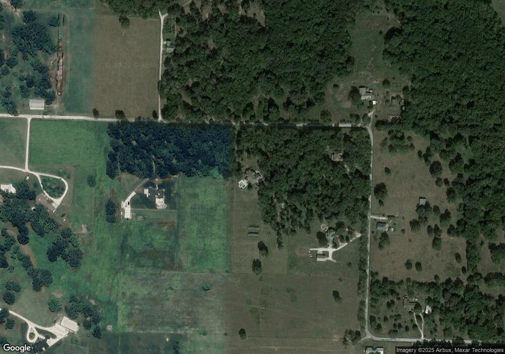
Map
Nearby Homes
- 10640 Durango Ln
- Tract 1 Daisy Rd & Cty Rd 110
- 11884 Destination Ln
- 3951 County Lane 119
- 12078 Cedar Rd
- 1631 County Road 120
- 11982 Gaiety Ln
- 11411 Goldenrod Rd
- 1720 E Fir Rd
- 6195 County Lane 124
- 1519 County Road 130
- 2166 Noah's Ark Ln
- 1341 E Airport Dr
- 1211 E Airport Dr
- 6509 Glory Ln
- 3197 S Grand Ave
- 612 County Road 130
- 1004 Gene Taylor Dr
- 7805 County Lane 98
- 7614 Apple Rd
- Tract 1+4 Daisy Rd
- Tract 4 Daisy Rd
- Tract 1 Daisy Rd
- 10370 Daisy Rd
- 10350 Daisy Rd
- 10630 Daisy Rd
- 10367 Daisy Rd
- 3840 County Lane 106
- 10321 Daisy Rd
- 3660 County Lane 108
- 10234 Daisy Rd
- 3852 County Road 110
- 10151 Daisy Rd
- Lot 4 Daisy Rd
- 10095 Daisy Rd
- Tract 1&4 Daisy Rd
- 10747 Dreamers Bluff
- 10995 Daisy Rd
- 10033 Daisy Rd
- Lot 1 Daisy Rd