10450 N Bug Tussel Rd West Fork, AR 72774
Estimated Value: $359,000 - $615,000
3
Beds
2
Baths
1,948
Sq Ft
$245/Sq Ft
Est. Value
About This Home
This home is located at 10450 N Bug Tussel Rd, West Fork, AR 72774 and is currently estimated at $477,207, approximately $244 per square foot. 10450 N Bug Tussel Rd is a home located in Washington County with nearby schools including Greenland Middle School, Greenland Elementary School, and Greenland High School.
Ownership History
Date
Name
Owned For
Owner Type
Purchase Details
Closed on
Feb 28, 2022
Sold by
Raymond Daniel A and Raymond Bobi J
Bought by
Daniel A Raymond And Bobi J Raymond Revocable
Current Estimated Value
Purchase Details
Closed on
Jan 28, 2021
Sold by
Raymond Daniel A and Raymond Bobi J
Bought by
Raymond Daniel A and Raymond Bobi J
Create a Home Valuation Report for This Property
The Home Valuation Report is an in-depth analysis detailing your home's value as well as a comparison with similar homes in the area
Home Values in the Area
Average Home Value in this Area
Purchase History
| Date | Buyer | Sale Price | Title Company |
|---|---|---|---|
| Daniel A Raymond And Bobi J Raymond Revocable | -- | Watkins Boyer Gray & Curry Pll | |
| Raymond Daniel A | -- | None Available |
Source: Public Records
Tax History Compared to Growth
Tax History
| Year | Tax Paid | Tax Assessment Tax Assessment Total Assessment is a certain percentage of the fair market value that is determined by local assessors to be the total taxable value of land and additions on the property. | Land | Improvement |
|---|---|---|---|---|
| 2025 | $2,449 | $62,990 | $15,560 | $47,430 |
| 2024 | $2,261 | $62,990 | $15,560 | $47,430 |
| 2023 | $2,100 | $62,990 | $15,560 | $47,430 |
| 2022 | $1,961 | $41,500 | $8,420 | $33,080 |
| 2021 | $1,893 | $41,500 | $8,420 | $33,080 |
| 2020 | $1,741 | $41,500 | $8,420 | $33,080 |
| 2019 | $1,577 | $33,170 | $7,070 | $26,100 |
| 2018 | $1,577 | $33,170 | $7,070 | $26,100 |
| 2017 | $1,509 | $33,170 | $7,070 | $26,100 |
| 2016 | $1,561 | $33,170 | $7,070 | $26,100 |
| 2015 | $1,511 | $33,170 | $7,070 | $26,100 |
| 2014 | $1,368 | $28,680 | $8,280 | $20,400 |
Source: Public Records
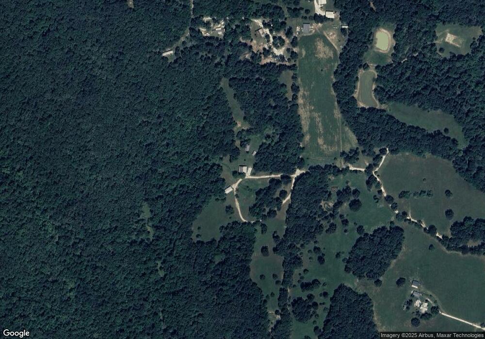
Map
Nearby Homes
- 10247 S Smokey Bear Rd
- TBD N Smokey Bear Rd
- 51.39 AC E Black Oak Rd
- 11327 Mountain Spring Dr
- 11391 Mountain Spring Dr
- 10578 S Smokey Bear Rd
- 14630 E Wallin Mountain Rd
- 1464 W Hendon St Unit 101
- 1464 W Hendon St
- 14790 Slaty Gap Rd
- TBD 7.49 Acres Slaty Gap Rd
- TBD 11 Acres Slaty Gap Rd
- 2321 E War Eagle St
- 2608 E Gila Way
- 3171 S Murray Ave
- 3183 S Murray Ave
- 2680 E Gila Way
- 2704 E Gila Way
- 2716 E Gila Way
- 2698 S Ouachita Dr
- 10436 N Bug Tussel Rd
- 10707 Friendly Rd
- 1806 Friendly Rd
- 10663 Rocky Creek Rd
- 10667 Rocky Creek Rd
- 10650 Rocky Creek Rd
- 5 Ac Rocky Creek Rd
- 10652 Rocky Creek
- 10675 Rocky Creek Rd
- 10677 Rocky Creek Rd
- 10726 Rocky Creek Rd
- 10676 Rocky Creek Rd
- 10335 N Bug Tussel Rd
- 10768 Friendly Rd
- 10738 Rocky Creek Rd
- 10798 Friendly Rd
- 10773 Rocky Creek Rd
- 10786 Rocky Creek Rd
- 0 Friendly Rd
- 10789 Friendly Rd