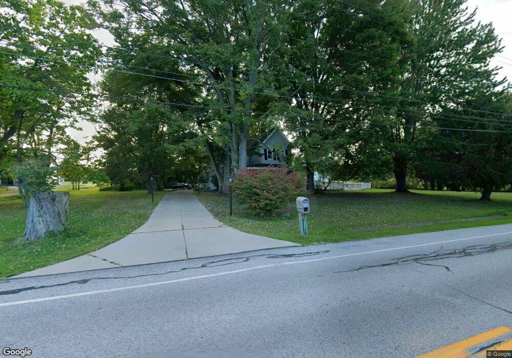
10450 Station Rd Columbia Station, OH 44028
Estimated Value: $281,000 - $354,000
4
Beds
3
Baths
2,146
Sq Ft
$153/Sq Ft
Est. Value
About This Home
This home is located at 10450 Station Rd, Columbia Station, OH 44028 and is currently estimated at $328,333, approximately $152 per square foot. 10450 Station Rd is a home located in Lorain County with nearby schools including Falls-Lenox Primary Elementary School, Olmsted Falls Intermediate Building, and Olmsted Falls Middle School.
Ownership History
Date
Name
Owned For
Owner Type
Purchase Details
Closed on
Aug 7, 2019
Sold by
Estate Of Susan E Riddick
Bought by
Riddick Ernest
Current Estimated Value
Create a Home Valuation Report for This Property
The Home Valuation Report is an in-depth analysis detailing your home's value as well as a comparison with similar homes in the area
Home Values in the Area
Average Home Value in this Area
Purchase History
| Date | Buyer | Sale Price | Title Company |
|---|---|---|---|
| Riddick Ernest | -- | None Available |
Source: Public Records
Tax History Compared to Growth
Tax History
| Year | Tax Paid | Tax Assessment Tax Assessment Total Assessment is a certain percentage of the fair market value that is determined by local assessors to be the total taxable value of land and additions on the property. | Land | Improvement |
|---|---|---|---|---|
| 2024 | $2,998 | $63,039 | $20,727 | $42,312 |
| 2023 | $3,497 | $51,762 | $22,656 | $29,106 |
| 2022 | $3,394 | $51,762 | $22,656 | $29,106 |
| 2021 | $3,394 | $51,762 | $22,656 | $29,106 |
| 2020 | $3,488 | $47,360 | $20,730 | $26,630 |
| 2019 | $3,112 | $47,360 | $20,730 | $26,630 |
| 2018 | $3,130 | $47,360 | $20,730 | $26,630 |
| 2017 | $3,206 | $45,030 | $19,210 | $25,820 |
| 2016 | $3,231 | $45,030 | $19,210 | $25,820 |
| 2015 | $3,251 | $45,030 | $19,210 | $25,820 |
| 2014 | $3,228 | $45,030 | $19,210 | $25,820 |
| 2013 | $3,230 | $45,030 | $19,210 | $25,820 |
Source: Public Records
Map
Nearby Homes
- 26571 Sprague Rd
- 9954 Ethan Dr
- 9628 Kingston Trail
- 27167 Watkin Rd
- 27056 Sprague Rd
- 23663 Victory Ln
- 9130 Devonshire Dr
- 9112 Devonshire Dr
- 26645 Lake of the Falls Blvd
- 8860 Sharp Rd
- 9159 E Windsor Dr
- 8706 Stearns Rd
- 31100 Blooming Ln
- 26609 N Park Blvd Unit 26609
- 26700 Redwood Dr
- 11834 W River Rd
- 26523 Sussex Dr
- 33621 Henwell Rd
- V/L Usher Rd
- 26511 Locust Dr
- 26433 Glencove Trail
- 10340 Station Rd
- 10496 Station Rd
- 26415 Cobblestone Trail
- 26415 Cobblestone Trail Unit 29
- S/L #21 Glencove Trail
- S/L 3 Glencove Trail
- S/L #25 Glencove Trail
- 10497 Station Rd
- 26410 Cobblestone Trail
- 26475 Glencove Trail
- S/L 26 Glencove Trail
- 10301 Station Rd
- 10550 Station Rd
- 10555 Station Rd
- 10284 Station Rd
- S/L 23 Glencove Trail
- S/L 4 Glencove Trail
- 26513 Glencove Trail
- 10245 Station Rd Unit 32