Estimated Value: $519,450 - $700,000
2
Beds
2
Baths
1,321
Sq Ft
$449/Sq Ft
Est. Value
About This Home
This home is located at 10452 Airpark Loop, Melba, ID 83641 and is currently estimated at $593,613, approximately $449 per square foot. 10452 Airpark Loop is a home with nearby schools including Marsing Elementary School, Marsing Middle School, and Marsing High School.
Ownership History
Date
Name
Owned For
Owner Type
Purchase Details
Closed on
May 30, 2023
Sold by
Machado David Valis and Machado Linda Ann
Bought by
Krueger Kenneth and Krueger Susan
Current Estimated Value
Home Financials for this Owner
Home Financials are based on the most recent Mortgage that was taken out on this home.
Original Mortgage
$200,000
Outstanding Balance
$192,890
Interest Rate
5.63%
Mortgage Type
New Conventional
Estimated Equity
$400,723
Purchase Details
Closed on
Aug 27, 2014
Sold by
The John M Larsen Trust
Bought by
Machado David Valis
Home Financials for this Owner
Home Financials are based on the most recent Mortgage that was taken out on this home.
Original Mortgage
$116,500
Interest Rate
4.1%
Mortgage Type
New Conventional
Create a Home Valuation Report for This Property
The Home Valuation Report is an in-depth analysis detailing your home's value as well as a comparison with similar homes in the area
Purchase History
| Date | Buyer | Sale Price | Title Company |
|---|---|---|---|
| Krueger Kenneth | -- | Pioneer Title | |
| Machado David Valis | -- | Pioneer Title Co |
Source: Public Records
Mortgage History
| Date | Status | Borrower | Loan Amount |
|---|---|---|---|
| Open | Krueger Kenneth | $200,000 | |
| Previous Owner | Machado David Valis | $116,500 |
Source: Public Records
Tax History
| Year | Tax Paid | Tax Assessment Tax Assessment Total Assessment is a certain percentage of the fair market value that is determined by local assessors to be the total taxable value of land and additions on the property. | Land | Improvement |
|---|---|---|---|---|
| 2025 | -- | $473,980 | $122,400 | $351,580 |
| 2024 | -- | $477,500 | $122,400 | $355,100 |
| 2023 | -- | $443,302 | $87,732 | $355,570 |
| 2022 | $1,949 | $443,362 | $87,732 | $355,630 |
| 2021 | $1,616 | $328,602 | $87,732 | $240,870 |
| 2020 | $1,209 | $247,674 | $57,968 | $189,706 |
| 2019 | $1,489 | $247,674 | $57,968 | $189,706 |
| 2018 | $1,506 | $232,701 | $48,307 | $184,394 |
| 2017 | $1,431 | $230,885 | $46,491 | $184,394 |
| 2016 | $1,366 | $217,464 | $46,491 | $170,973 |
| 2014 | $1,002 | $200,560 | $41,313 | $159,247 |
| 2011 | -- | $179,005 | $33,050 | $145,955 |
Source: Public Records
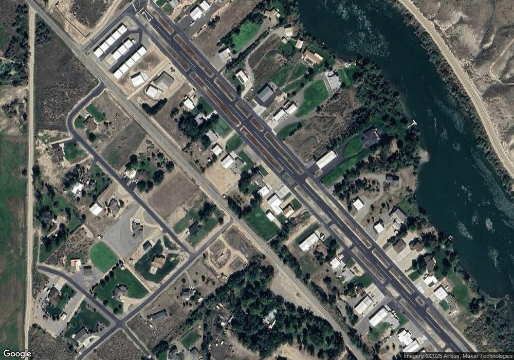
Map
Nearby Homes
- 10142 Airpark Loop Rd
- 11487 Idaho 78
- 9494 Sleepy Hollow Dr
- 9446 Wright Rd
- 8843 Idaho 78
- 13294 N Fork Ln
- TBD Blue Fox Ln
- Par7 Sky Ranch Rd
- 0 Sage View Ln Parcel 4
- 0 Sage View Ln Parcel 2
- TBD Island View Dr - Lot 1
- TBD Island View Dr - Lot 2
- 16758 Deer Flat Rd
- TBD Mountain Hawk Rd
- 9002 Deer Flat
- 000 Farner Rd
- 6750 Dearborne Rd
- 9067 Crystal Quartz Dr
- 12597 Deer Ridge Trail
- 547 Bass Run Ln
- L5 B1 Sunrise Sky Park
- TBD Sunrise Sky Park
- 10468 Airpark Loop
- 10484 Airpark Loop
- 10250 Airpark Loop
- 10158 Locust Ln
- 10498 Airpark Loop
- 10268 Airpark Loop
- 10268 Airpark Loop
- 10434 Airpark Loop
- 10418 Airpark Loop
- 10286 Airpark Loop
- 10228 Airpark Loop
- 10194 Airpark Loop
- 10184 Airpark Loop
- L5 B6 Sunrise Sky Park
- 10124 Locust Ln
- 10159 Locust Ln
- 9193 Poplar Dr
- 10141 Locust Ln
Your Personal Tour Guide
Ask me questions while you tour the home.