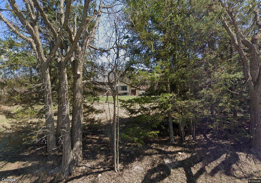
10456 S 92nd St Franklin, WI 53132
Estimated Value: $396,000 - $404,000
4
Beds
2
Baths
1,408
Sq Ft
$284/Sq Ft
Est. Value
About This Home
This home is located at 10456 S 92nd St, Franklin, WI 53132 and is currently estimated at $399,832, approximately $283 per square foot. 10456 S 92nd St is a home located in Milwaukee County with nearby schools including Country Dale Elementary School, Forest Park Middle School, and Franklin High School.
Ownership History
Date
Name
Owned For
Owner Type
Purchase Details
Closed on
Oct 1, 1999
Sold by
Christbaum James R
Bought by
Vogt Daniel S and Slieff Joseph A
Current Estimated Value
Home Financials for this Owner
Home Financials are based on the most recent Mortgage that was taken out on this home.
Original Mortgage
$90,000
Interest Rate
7.9%
Create a Home Valuation Report for This Property
The Home Valuation Report is an in-depth analysis detailing your home's value as well as a comparison with similar homes in the area
Home Values in the Area
Average Home Value in this Area
Purchase History
| Date | Buyer | Sale Price | Title Company |
|---|---|---|---|
| Vogt Daniel S | $130,000 | -- |
Source: Public Records
Mortgage History
| Date | Status | Borrower | Loan Amount |
|---|---|---|---|
| Closed | Vogt Daniel S | $90,000 |
Source: Public Records
Tax History Compared to Growth
Tax History
| Year | Tax Paid | Tax Assessment Tax Assessment Total Assessment is a certain percentage of the fair market value that is determined by local assessors to be the total taxable value of land and additions on the property. | Land | Improvement |
|---|---|---|---|---|
| 2024 | $2,957 | -- | -- | -- |
| 2023 | $5,196 | $332,200 | $99,700 | $232,500 |
| 2022 | $5,175 | $272,100 | $99,700 | $172,400 |
| 2021 | $5,758 | $253,400 | $93,100 | $160,300 |
| 2020 | $5,317 | $0 | $0 | $0 |
| 2019 | $5,838 | $242,300 | $93,100 | $149,200 |
| 2018 | $5,487 | $0 | $0 | $0 |
| 2017 | $6,003 | $236,700 | $93,100 | $143,600 |
| 2015 | -- | $198,600 | $86,600 | $112,000 |
| 2013 | -- | $198,600 | $86,600 | $112,000 |
Source: Public Records
Map
Nearby Homes
- 7911 W Oakwood Way
- Pcl2 S 112th St
- 11520 W Meadowview Dr
- 9546 S Bergamont Dr
- 9878 S Bergamont Dr
- 9676 S Bergamont Dr
- 11223 W Loomis Rd
- 9015 S 84th St
- 9729 W Prairie Grass Way
- 9155 W Elm Ct Unit C
- 8212 W High St
- 9607 S Bergamont Dr
- 10880 W 7 Mile Rd
- Lt1 W Loomis Rd
- 9636 S Sophia Ct
- 9628 S Sophia Ct
- 9056 W Elm Ct Unit B
- 9344 S Parkside Ln
- 9354 S Parkside Ln
- 10115 W Loomis Rd
- 10474 S 92nd St
- 10341 S 92nd St
- 10555 S 92nd St
- 10578 S 92nd St
- 9209 W Oakwood Rd
- 9329 W Oakwood Rd
- 10642 S 92nd St
- 8830 W Oakwood Rd
- 10757 S 92nd St
- 10728 S 92nd St
- 8715 W Oakwood Rd
- 9801 W Oakwood Rd
- 9808 W Oakwood Rd
- 9612 W Oakwood Rd
- 10760 S 92nd St
- 8674 W Oakwood Rd
- 10780 S 92nd St
- 8600 W Oakwood Rd
- 10820 S 92nd St
- 8502 W Oakwood Rd