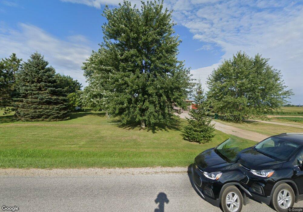
10456 S Airport Rd Dewitt, MI 48820
Estimated Value: $282,000 - $305,000
3
Beds
2
Baths
1,408
Sq Ft
$206/Sq Ft
Est. Value
About This Home
This home is located at 10456 S Airport Rd, Dewitt, MI 48820 and is currently estimated at $289,684, approximately $205 per square foot. 10456 S Airport Rd is a home located in Clinton County with nearby schools including St. Johns High School.
Ownership History
Date
Name
Owned For
Owner Type
Purchase Details
Closed on
Aug 19, 2003
Sold by
Coonrod Bernard T and Coonrod Lois I
Bought by
Oconnor Jason and Oconnor Theresa
Current Estimated Value
Home Financials for this Owner
Home Financials are based on the most recent Mortgage that was taken out on this home.
Original Mortgage
$152,500
Outstanding Balance
$82,569
Interest Rate
8.87%
Mortgage Type
Purchase Money Mortgage
Estimated Equity
$207,115
Create a Home Valuation Report for This Property
The Home Valuation Report is an in-depth analysis detailing your home's value as well as a comparison with similar homes in the area
Home Values in the Area
Average Home Value in this Area
Purchase History
| Date | Buyer | Sale Price | Title Company |
|---|---|---|---|
| Oconnor Jason | $152,500 | Transnation Title |
Source: Public Records
Mortgage History
| Date | Status | Borrower | Loan Amount |
|---|---|---|---|
| Open | Oconnor Jason | $152,500 |
Source: Public Records
Tax History Compared to Growth
Tax History
| Year | Tax Paid | Tax Assessment Tax Assessment Total Assessment is a certain percentage of the fair market value that is determined by local assessors to be the total taxable value of land and additions on the property. | Land | Improvement |
|---|---|---|---|---|
| 2025 | $2,190 | $134,600 | $21,400 | $113,200 |
| 2024 | $964 | $114,300 | $21,400 | $92,900 |
| 2023 | $913 | $98,400 | $0 | $0 |
| 2022 | $1,980 | $88,900 | $20,300 | $68,600 |
| 2021 | $1,928 | $87,900 | $17,200 | $70,700 |
| 2020 | $1,870 | $88,500 | $15,200 | $73,300 |
| 2019 | $1,776 | $85,200 | $13,000 | $72,200 |
| 2018 | $1,735 | $71,400 | $12,400 | $59,000 |
| 2017 | -- | $68,600 | $11,000 | $57,600 |
| 2016 | $1,680 | $66,400 | $9,400 | $57,000 |
| 2015 | -- | $65,600 | $0 | $0 |
| 2011 | -- | $70,200 | $0 | $0 |
Source: Public Records
Map
Nearby Homes
- 10510 S Airport Rd
- 10600 S Airport Rd
- 11423 Hidden Spring Trail
- 4975 W Cutler Rd
- 11625 Murano Dr Unit 63
- 11701 Hidden Ridge Dr
- 11740 Kalamata Dr
- 5337 W Chadwick Rd
- 3031 Crofton Dr
- 3635 Stanwood Dr
- 2531 Fedewood
- 4270 Calipso Ct
- 2469 Brookview Ln
- The Mackinaw Plan at Lakeside Preserve
- The Maxwell Plan at Lakeside Preserve
- The Prescott Plan at Lakeside Preserve
- The Nantucket Plan at Lakeside Preserve
- The Windsor Plan at Lakeside Preserve
- The Norway Plan at Lakeside Preserve
- The Madison Plan at Lakeside Preserve
- 1233 Airport Rd
- 10630 S Airport Rd
- 10580 S Airport Rd
- 10540 S Airport Rd
- 10660 S Airport Rd
- 10200 S Airport Rd
- 10670 S Airport Rd
- 10690 S Airport Rd
- 0 S Lowell Rd Unit 201703475
- 0 S Lowell Rd Unit 220434
- 0 S Lowell Rd Unit 218398
- 7445 Howe Parcel 1 Rd
- 0 S Lowell Rd Unit 210088
- 0 S Lowell Rd Unit 201701514
- 6751 Loos
- 8403 Loos
- 1047 Round
- 0 S Lowell Rd Unit 23002704
- 200 Riverwood Dr