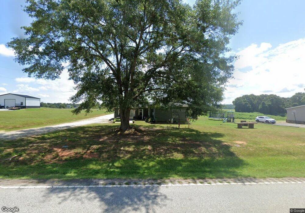
10459 Highway 56 Enoree, SC 29335
Estimated Value: $134,000 - $262,000
3
Beds
1
Bath
1,456
Sq Ft
$128/Sq Ft
Est. Value
About This Home
This home is located at 10459 Highway 56, Enoree, SC 29335 and is currently estimated at $186,764, approximately $128 per square foot. 10459 Highway 56 is a home located in Spartanburg County with nearby schools including Woodruff Primary School, Woodruff Elementary School, and Woodruff Middle School.
Ownership History
Date
Name
Owned For
Owner Type
Purchase Details
Closed on
Jan 22, 2024
Sold by
Mcelrath Donna Betsill and Mcelrath Tommy Dwayne
Bought by
Craig Drew H and Mcelrath Brooklyn
Current Estimated Value
Purchase Details
Closed on
Jul 18, 2019
Sold by
Fowler Gerald Dean
Bought by
Mcelrath Donna Betsill and Mcelrath Tommy Dwayne
Purchase Details
Closed on
Dec 11, 2012
Sold by
Mcelrath Brad D
Bought by
Mcelrath Brad D and Mcelrath Michael S
Create a Home Valuation Report for This Property
The Home Valuation Report is an in-depth analysis detailing your home's value as well as a comparison with similar homes in the area
Purchase History
| Date | Buyer | Sale Price | Title Company |
|---|---|---|---|
| Craig Drew H | -- | None Listed On Document | |
| Mcelrath Donna Betsill | $10,000 | None Available | |
| Mcelrath Donna Betsill | -- | None Available | |
| Mcelrath Brad D | -- | -- |
Source: Public Records
Tax History
| Year | Tax Paid | Tax Assessment Tax Assessment Total Assessment is a certain percentage of the fair market value that is determined by local assessors to be the total taxable value of land and additions on the property. | Land | Improvement |
|---|---|---|---|---|
| 2025 | $624 | $3,693 | $755 | $2,938 |
| 2023 | $624 | $3,694 | $1,157 | $2,537 |
| 2022 | $488 | $3,212 | $1,044 | $2,168 |
| 2021 | $488 | $3,212 | $1,044 | $2,168 |
| 2020 | $442 | $3,212 | $1,044 | $2,168 |
| 2019 | $449 | $2,620 | $452 | $2,168 |
| 2018 | $377 | $2,620 | $452 | $2,168 |
| 2017 | $348 | $2,336 | $452 | $1,884 |
| 2016 | $349 | $2,336 | $452 | $1,884 |
| 2015 | $344 | $2,336 | $452 | $1,884 |
| 2014 | $340 | $2,336 | $452 | $1,884 |
Source: Public Records
Map
Nearby Homes
- 241 Boozer Rd
- 632 Union Hwy
- Battlefield Rd
- 0 Sparkstown Dr
- 00 S 114
- 00 New Hope Church Rd
- 00 Mount Shoals Rd
- 0 Watson Rd Unit 1582740
- 0 Watson Rd Unit SPN333926
- 00 Ball Park Rd
- 3465
- 2611 S Carolina 92
- 3465 S Carolina 92
- 4902 Cross Keys Hwy
- 6970 Highway 56
- 700 Hadley Place
- 491 Adhurst Dr Unit AA 60 Inlet B
- 708 Hadley Place
- 700 Hadley Place Unit AA 70 Dawson D
- 495 Adhurst Dr
- 10450 Highway 56 Unit 10420
- 10397 Highway 56
- 10400 Highway 56
- 10379 Highway 56
- 10391 Highway 56
- 1201 Starnes Rd
- 10299 Highway 56
- 10308 Highway 56
- 10488 Highway 56
- 211 Boozer Rd
- 10289 Highway 56
- 180 Boozer Rd
- 221 Boozer Rd
- 231 Boozer Rd
- 220 Boozer Rd
- 240 Boozer Rd
- 10280 Highway 56
- 10270 Highway 56
- 10201 Highway 56
- 917 Starnes Rd
Your Personal Tour Guide
Ask me questions while you tour the home.