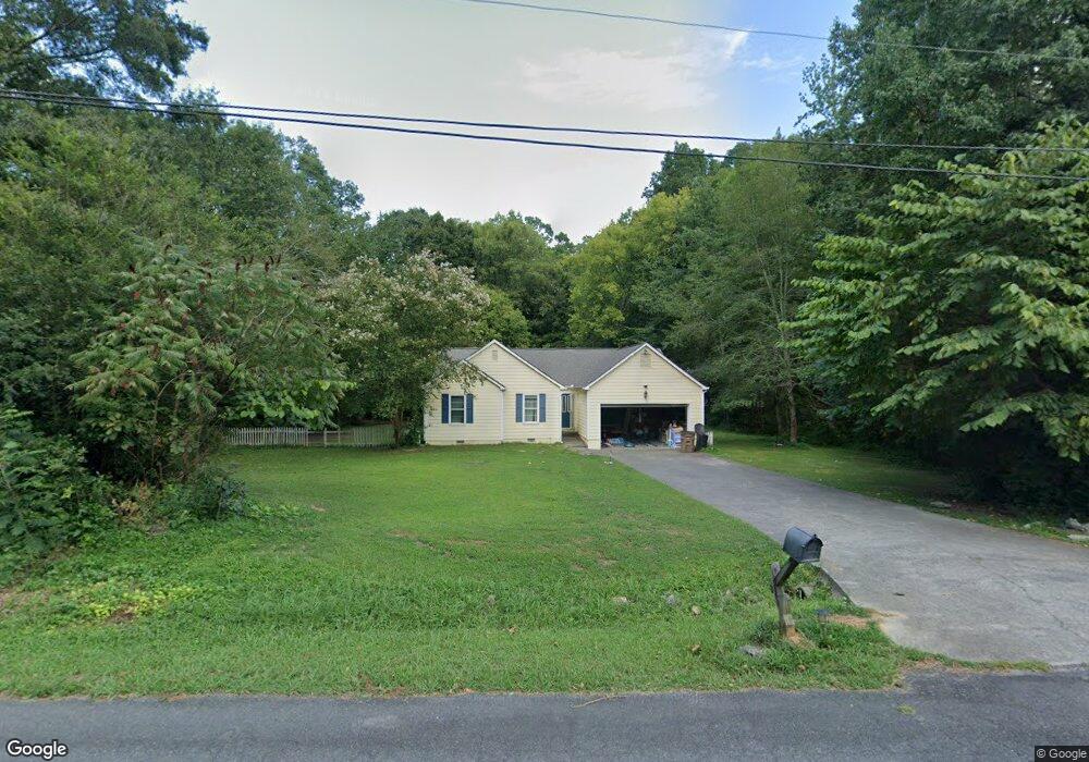
1046 Laura Dr Dalton, GA 30721
Estimated Value: $251,000 - $301,000
3
Beds
2
Baths
1,642
Sq Ft
$165/Sq Ft
Est. Value
About This Home
This home is located at 1046 Laura Dr, Dalton, GA 30721 and is currently estimated at $271,523, approximately $165 per square foot. 1046 Laura Dr is a home located in Whitfield County with nearby schools including New Hope Elementary School, New Hope Middle School, and Northwest Whitfield County High School.
Ownership History
Date
Name
Owned For
Owner Type
Purchase Details
Closed on
Jun 18, 2020
Sold by
Brooks Shannon P
Bought by
Corona Ediht
Current Estimated Value
Home Financials for this Owner
Home Financials are based on the most recent Mortgage that was taken out on this home.
Original Mortgage
$146,301
Outstanding Balance
$129,685
Interest Rate
3.2%
Mortgage Type
FHA
Estimated Equity
$141,838
Purchase Details
Closed on
Dec 5, 2003
Sold by
Lazo Kelley L and Lazo Lawrence E
Bought by
Brooks Sannon P and Brooks Scott E
Purchase Details
Closed on
Nov 16, 2001
Sold by
Pourquoi Jan Robert Gentiel
Bought by
Lazo Kelley L and Lazo Lawrence E
Purchase Details
Closed on
Apr 1, 1996
Bought by
Pourquoi Jan Robert Gentiel
Create a Home Valuation Report for This Property
The Home Valuation Report is an in-depth analysis detailing your home's value as well as a comparison with similar homes in the area
Home Values in the Area
Average Home Value in this Area
Purchase History
| Date | Buyer | Sale Price | Title Company |
|---|---|---|---|
| Corona Ediht | $149,000 | -- | |
| Brooks Sannon P | $128,000 | -- | |
| Lazo Kelley L | $113,000 | -- | |
| Pourquoi Jan Robert Gentiel | $107,000 | -- |
Source: Public Records
Mortgage History
| Date | Status | Borrower | Loan Amount |
|---|---|---|---|
| Open | Corona Ediht | $146,301 |
Source: Public Records
Tax History Compared to Growth
Tax History
| Year | Tax Paid | Tax Assessment Tax Assessment Total Assessment is a certain percentage of the fair market value that is determined by local assessors to be the total taxable value of land and additions on the property. | Land | Improvement |
|---|---|---|---|---|
| 2024 | $1,963 | $99,649 | $14,600 | $85,049 |
| 2023 | $1,963 | $72,352 | $12,800 | $59,552 |
| 2022 | $1,607 | $63,049 | $12,800 | $50,249 |
| 2021 | $1,506 | $63,049 | $12,800 | $50,249 |
| 2020 | $1,650 | $63,035 | $12,800 | $50,235 |
| 2019 | $1,672 | $63,035 | $12,800 | $50,235 |
| 2018 | $1,316 | $51,068 | $12,800 | $38,268 |
| 2017 | $1,317 | $51,068 | $12,800 | $38,268 |
| 2016 | $1,069 | $44,115 | $5,250 | $38,865 |
| 2014 | $989 | $44,115 | $5,250 | $38,865 |
| 2013 | -- | $44,114 | $5,250 | $38,864 |
Source: Public Records
Map
Nearby Homes
- 2002 Broadacre Dr NW
- 3147 Cleveland Hwy
- 303 Cherokee Trail NW
- 3025 Cleveland Hwy
- 287 Williams Rd NW
- 609 Cherokee Trail NW
- 3216 Cleveland Hwy
- 1425 Wiggs Dr
- 3201 Maple Grove Dr NW
- 3450 Misty Meadows Dr NW
- 337 Pacer Ln Unit 4
- 360 Pacer Ln
- 322 Pacer Ln
- 0 Pacer Ln
- 230 Pacer Ln
- 222 Pacer Ln
- 1626 Lagenia Ct
- 329 Kempton Ln
- 1015 S Ridge Dr
- 3050 Cleveland Hwy