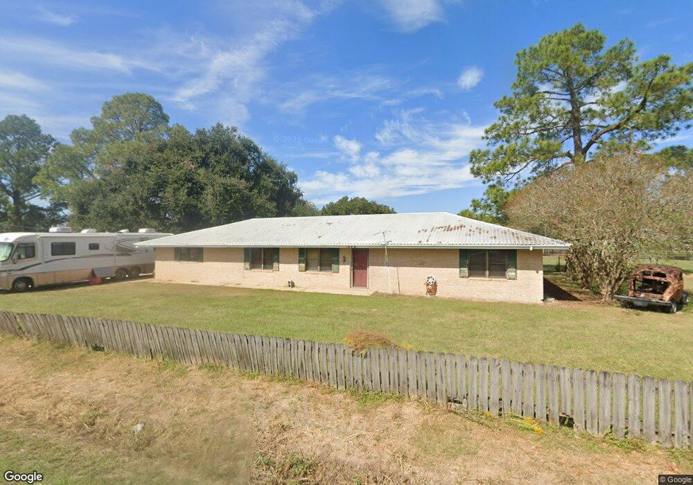
1046 Robert Ln Breaux Bridge, LA 70517
Saint Martin Parish NeighborhoodEstimated Value: $200,084 - $260,000
--
Bed
--
Bath
1,820
Sq Ft
$127/Sq Ft
Est. Value
About This Home
This home is located at 1046 Robert Ln, Breaux Bridge, LA 70517 and is currently estimated at $231,521, approximately $127 per square foot. 1046 Robert Ln is a home located in St. Martin Parish with nearby schools including Breaux Bridge Primary School, Breaux Bridge Junior High School, and Breaux Bridge High School.
Ownership History
Date
Name
Owned For
Owner Type
Purchase Details
Closed on
Mar 23, 2007
Sold by
Brice Tilmon Paul and Latiolais Tilmon Joni
Bought by
Sonnier Christopher Paul
Current Estimated Value
Home Financials for this Owner
Home Financials are based on the most recent Mortgage that was taken out on this home.
Original Mortgage
$120,000
Outstanding Balance
$72,793
Interest Rate
6.3%
Estimated Equity
$158,728
Create a Home Valuation Report for This Property
The Home Valuation Report is an in-depth analysis detailing your home's value as well as a comparison with similar homes in the area
Home Values in the Area
Average Home Value in this Area
Purchase History
| Date | Buyer | Sale Price | Title Company |
|---|---|---|---|
| Sonnier Christopher Paul | $120,000 | -- |
Source: Public Records
Mortgage History
| Date | Status | Borrower | Loan Amount |
|---|---|---|---|
| Open | Sonnier Christopher Paul | $120,000 |
Source: Public Records
Tax History Compared to Growth
Tax History
| Year | Tax Paid | Tax Assessment Tax Assessment Total Assessment is a certain percentage of the fair market value that is determined by local assessors to be the total taxable value of land and additions on the property. | Land | Improvement |
|---|---|---|---|---|
| 2024 | $1,437 | $14,100 | $1,850 | $12,250 |
| 2023 | $516 | $12,420 | $1,850 | $10,570 |
| 2022 | $516 | $12,420 | $1,850 | $10,570 |
| 2021 | $1,302 | $12,420 | $1,850 | $10,570 |
| 2020 | $1,298 | $12,420 | $1,850 | $10,570 |
| 2019 | $489 | $12,130 | $1,850 | $10,280 |
| 2018 | $483 | $12,130 | $1,850 | $10,280 |
| 2017 | $1,159 | $12,130 | $1,850 | $10,280 |
| 2016 | $1,106 | $12,130 | $1,850 | $10,280 |
| 2015 | $1,150 | $11,930 | $1,850 | $10,080 |
| 2014 | $1,150 | $11,930 | $1,850 | $10,080 |
| 2013 | $1,150 | $11,930 | $1,850 | $10,080 |
Source: Public Records
Map
Nearby Homes
- 0 Bayou Oaks Dr Unit 2500004742
- 0000 Frank Castille Rd
- 0 Layton
- 1123 Lake Martin Rd
- 1008 Kern Dr
- 4444 Main Hwy
- 000 Bunker Dr
- 0000 Bunker Dr
- 1075 Poydras Place
- 1141 Madeline Heights
- 1127 Huval Rd Unit A
- 1152 Madeline Heights Unit B
- 1079 Clayton Castille Rd
- Lot 3c-7 Clayton Castille Rd
- Lot 3c-6 Clayton Castille Rd
- 1108 Poydras Place
- 1141 Lake Martin Rd
- 1166 Madeline Heights
- Tbd La-31
- 4189 Poydras Hwy
- 1040 Robert Ln
- 1049 Robert Ln
- 1055 Robert Ln
- 1033 Robert Ln
- 1034 Robert Ln
- 1050 Sulie Ln
- 1058 Sulie Ln
- 1031 Robert Ln
- 1042 Sulie Ln
- 4396 Poydras Hwy
- 4396 Poydras Hwy Unit A
- 4396 Poydras Hwy
- 1018 Robert Ln
- 1037 Bayou Oaks Rd
- 1025 Robert Ln
- 4374 Poydras Hwy
- 4374A Poydras Hwy
- 1035 Sulie Ln
- 4388 Poydras Hwy
- 4571 Main Hwy Unit A