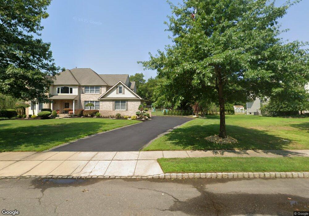
1046 Route 9 Bayville, NJ 08721
3
Beds
1
Bath
2,174
Sq Ft
0.36
Acres
About This Home
This home is located at 1046 Route 9, Bayville, NJ 08721. 1046 Route 9 is a home located in Ocean County with nearby schools including Central Regional Middle School and Central Regional High School.
Ownership History
Date
Name
Owned For
Owner Type
Purchase Details
Closed on
Jul 9, 2021
Sold by
Cypres Holding Llc
Bought by
Dellolio Robert F
Purchase Details
Closed on
Jul 7, 2021
Sold by
Cypres Holding Llc
Bought by
Dellolio Robert F
Purchase Details
Closed on
Mar 16, 2015
Sold by
Perrman Development Group Llc
Bought by
Cypres Holdings Limited Liability Compan
Home Financials for this Owner
Home Financials are based on the most recent Mortgage that was taken out on this home.
Original Mortgage
$200,000
Interest Rate
3.6%
Mortgage Type
Commercial
Purchase Details
Closed on
Jul 22, 2013
Sold by
Hay Polly
Bought by
Perman Development Group Llc
Home Financials for this Owner
Home Financials are based on the most recent Mortgage that was taken out on this home.
Original Mortgage
$141,000
Interest Rate
3.97%
Mortgage Type
Future Advance Clause Open End Mortgage
Create a Home Valuation Report for This Property
The Home Valuation Report is an in-depth analysis detailing your home's value as well as a comparison with similar homes in the area
Home Values in the Area
Average Home Value in this Area
Purchase History
| Date | Buyer | Sale Price | Title Company |
|---|---|---|---|
| Dellolio Robert F | $270,000 | Coastline Title Agency Inc | |
| Dellolio Robert F | $270,000 | Old Republic Title | |
| Cypres Holdings Limited Liability Compan | $46,500 | Counsellors Title Agency Inc | |
| Perman Development Group Llc | $211,000 | None Available |
Source: Public Records
Mortgage History
| Date | Status | Borrower | Loan Amount |
|---|---|---|---|
| Previous Owner | Cypres Holdings Limited Liability Compan | $200,000 | |
| Previous Owner | Perman Development Group Llc | $141,000 |
Source: Public Records
Tax History Compared to Growth
Tax History
| Year | Tax Paid | Tax Assessment Tax Assessment Total Assessment is a certain percentage of the fair market value that is determined by local assessors to be the total taxable value of land and additions on the property. | Land | Improvement |
|---|---|---|---|---|
| 2025 | $5,994 | $248,600 | $130,000 | $118,600 |
| 2024 | $5,518 | $248,600 | $130,000 | $118,600 |
| 2023 | $5,661 | $248,600 | $130,000 | $118,600 |
| 2022 | $5,661 | $248,600 | $130,000 | $118,600 |
| 2021 | $5,541 | $248,600 | $130,000 | $118,600 |
| 2020 | $5,541 | $248,600 | $130,000 | $118,600 |
| 2019 | $5,387 | $248,600 | $130,000 | $118,600 |
| 2018 | $5,370 | $248,600 | $130,000 | $118,600 |
| 2017 | $5,171 | $248,600 | $130,000 | $118,600 |
| 2016 | $5,144 | $248,600 | $130,000 | $118,600 |
| 2015 | $5,002 | $248,600 | $130,000 | $118,600 |
| 2014 | $4,860 | $248,600 | $130,000 | $118,600 |
Source: Public Records
Map
Nearby Homes
- 6 Key Largo Ct
- 14 Albatross Point
- 969 Richard Rd
- Ballad Plan at Cedar Creek Towns
- 14 Pelham Ln
- Aria Plan at Cedar Creek Towns
- 2 Pelham Ln
- Clarendon Plan at Cedar Creek Towns
- 40 Halifax Rd
- 65 N Island Rd
- 210 Keller St
- 64 Harbor Inn Rd
- 40 Morris Blvd
- 000 Morris Blvd
- 114 Forrest Ave
- 0 Bay Way Unit 22522675
- 406 Drew Ave
- 201 Pheasant Hollow Dr
- 0 Floral Ave
- 320 Walnut Dr
- 1046 Atlantic City Blvd
- 1046 U S 9
- 1033 Atlantic City Blvd
- 14 Mcintyre St
- 12 Harbor Inn Rd
- 1015 Atlantic City Blvd
- 1054 Atlantic City Blvd
- 16 Harbor Inn Rd
- 10 Harley Blvd
- 11 Key Largo Ct
- 104 Sand Rd
- 9 Key Largo Ct
- 108 Sand Rd
- 19 Harbor Inn Rd
- 3 Harley Blvd
- 18 Harley Blvd
- 7 Key Largo Ct
- 112 Sand Rd
- 7 Harley Blvd
- 22 Harley Blvd