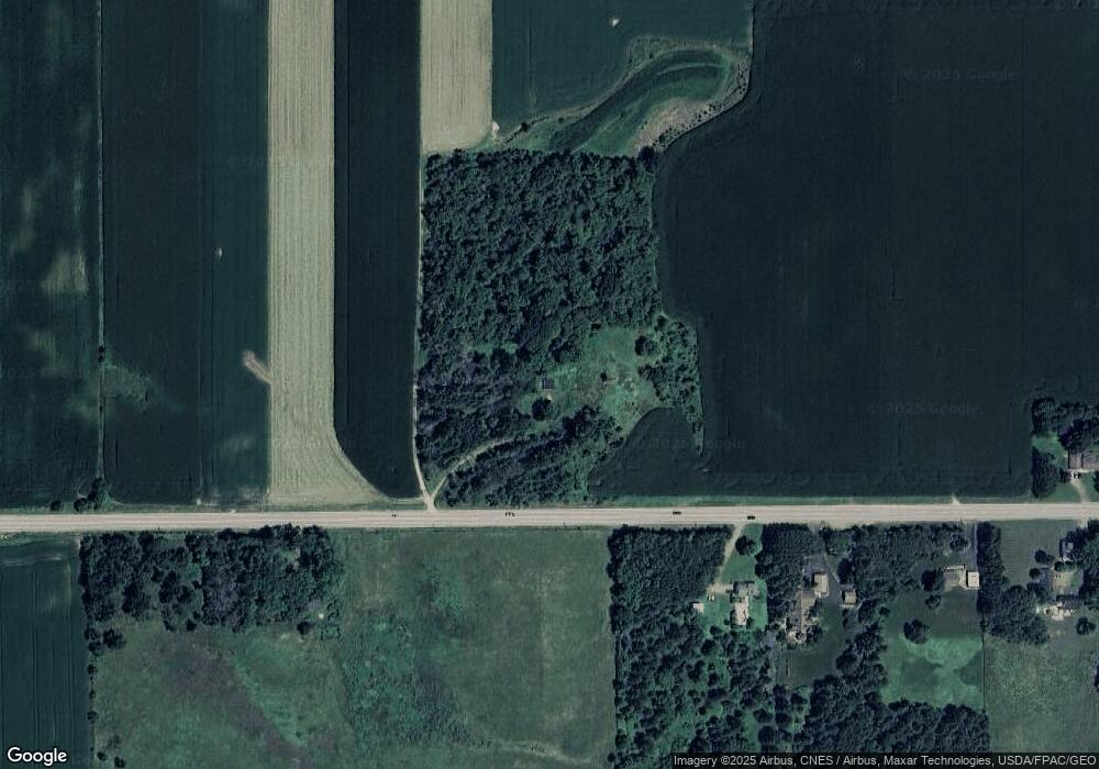
1046 Us Highway 12 Roberts, WI 54023
Warren NeighborhoodEstimated Value: $371,000
--
Bed
--
Bath
--
Sq Ft
40
Acres
About This Home
This home is located at 1046 Us Highway 12, Roberts, WI 54023 and is currently priced at $371,000. 1046 Us Highway 12 is a home located in St. Croix County with nearby schools including Saint Croix Central Elementary School, Saint Croix Central Middle School, and St. Croix Central High School.
Ownership History
Date
Name
Owned For
Owner Type
Purchase Details
Closed on
Jun 29, 2020
Sold by
Mckenna David M and Mckenna Diane L
Bought by
Wisconsin Department Of Transportation
Current Estimated Value
Purchase Details
Closed on
Nov 28, 2017
Sold by
Mckenna David M and Mckenna Diane L
Bought by
Mckenna Erin D and Mckenna Abbie L
Purchase Details
Closed on
Dec 27, 2012
Sold by
Johnson Kathleen E and Leveritt Hall Family Trust
Bought by
Mckenna David M and Mckenna Diane L
Home Financials for this Owner
Home Financials are based on the most recent Mortgage that was taken out on this home.
Original Mortgage
$448,000
Interest Rate
3.34%
Mortgage Type
Purchase Money Mortgage
Create a Home Valuation Report for This Property
The Home Valuation Report is an in-depth analysis detailing your home's value as well as a comparison with similar homes in the area
Home Values in the Area
Average Home Value in this Area
Purchase History
| Date | Buyer | Sale Price | Title Company |
|---|---|---|---|
| Wisconsin Department Of Transportation | -- | None Available | |
| Mckenna Erin D | -- | -- | |
| Mckenna David M | -- | -- | |
| Mckenna David M | $560,000 | None Available |
Source: Public Records
Mortgage History
| Date | Status | Borrower | Loan Amount |
|---|---|---|---|
| Previous Owner | Mckenna David M | $448,000 |
Source: Public Records
Tax History Compared to Growth
Tax History
| Year | Tax Paid | Tax Assessment Tax Assessment Total Assessment is a certain percentage of the fair market value that is determined by local assessors to be the total taxable value of land and additions on the property. | Land | Improvement |
|---|---|---|---|---|
| 2020 | $1,281 | $86,700 | $83,800 | $2,900 |
| 2019 | -- | $86,700 | $83,800 | $2,900 |
| 2018 | -- | $86,700 | $83,800 | $2,900 |
| 2017 | -- | $53,700 | $51,400 | $2,300 |
| 2016 | -- | $64,700 | $51,400 | $13,300 |
| 2015 | -- | $88,000 | $51,400 | $36,600 |
| 2014 | -- | $88,100 | $51,500 | $36,600 |
| 2013 | -- | $88,100 | $51,500 | $36,600 |
Source: Public Records
Map
Nearby Homes
- 880 110th St
- 902 Crane Hill Trail
- 1224 US Highway 12
- 200 N Vine St
- 882 Yellowstone Trail
- 405 S Division St
- 603 S Division St
- 628 Franklin St
- 640 Franklin St
- 112 W Brewer St
- 247 Eagle Ridge Dr
- 611 Field Point St
- 617 Field Point St
- 619 Field Point St
- 1129 Briarwood Blvd
- 610 Field Point St
- 622 Field Point St
- 249 (Lot 240) Dakota Ave
- 877 Highlander Trail
- 827 Badlands Rd
- 1057 Us Highway 12
- 1029 Us Highway 12
- 1063 Us Highway 12
- 1084 Us Highway 12
- 1083 Us Highway 12
- 1086 Us Highway 12
- 1087 Us Highway 12
- 1010 Us Highway 12
- 1074 89th Ave
- 1080 89th Ave
- 1084 89th Ave
- 1075 89th Ave
- 1090 89th Ave
- 1085 89th Ave
- 1006 Us Highway 12
- 1094 89th Ave
- 1093 89th Ave
- 1098 89th Ave
- 1097 89th Ave
- 1100 1100 89th-Avenue-