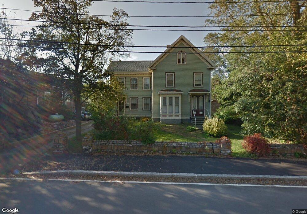
1046 Washington St Gloucester, MA 01930
Estimated Value: $805,000 - $956,463
3
Beds
2
Baths
1,872
Sq Ft
$456/Sq Ft
Est. Value
About This Home
This home is located at 1046 Washington St, Gloucester, MA 01930 and is currently estimated at $854,366, approximately $456 per square foot. 1046 Washington St is a home located in Essex County with nearby schools including Plum Cove School, Ralph B O'maley Middle School, and Gloucester High School.
Ownership History
Date
Name
Owned For
Owner Type
Purchase Details
Closed on
Dec 5, 2025
Sold by
Pebble Beach Tahti Llc
Bought by
Morgan Lt and Morgan
Current Estimated Value
Purchase Details
Closed on
Jan 14, 2025
Sold by
Morgan Rt and Morgan
Bought by
Pebble Beach Tahti Llc
Purchase Details
Closed on
Aug 27, 2013
Sold by
Morgan Donald
Bought by
Morgan Rt and Morgan
Purchase Details
Closed on
May 1, 2013
Sold by
Morgan John
Bought by
Morgan Donald
Purchase Details
Closed on
May 1, 2008
Sold by
Naves Elaine and Naves Richard G
Bought by
Morgan Donald
Create a Home Valuation Report for This Property
The Home Valuation Report is an in-depth analysis detailing your home's value as well as a comparison with similar homes in the area
Purchase History
| Date | Buyer | Sale Price | Title Company |
|---|---|---|---|
| Morgan Lt | -- | -- | |
| Pebble Beach Tahti Llc | -- | None Available | |
| Morgan Rt | -- | -- | |
| Morgan Donald C | -- | -- | |
| Morgan Donald C | -- | -- |
Source: Public Records
Mortgage History
| Date | Status | Borrower | Loan Amount |
|---|---|---|---|
| Previous Owner | Morgan Donald C | $20,000 |
Source: Public Records
Tax History
| Year | Tax Paid | Tax Assessment Tax Assessment Total Assessment is a certain percentage of the fair market value that is determined by local assessors to be the total taxable value of land and additions on the property. | Land | Improvement |
|---|---|---|---|---|
| 2025 | $7,912 | $814,000 | $443,800 | $370,200 |
| 2024 | $7,681 | $789,400 | $422,600 | $366,800 |
| 2023 | $7,759 | $732,700 | $377,500 | $355,200 |
| 2022 | $7,287 | $621,200 | $320,900 | $300,300 |
| 2021 | $7,052 | $566,900 | $291,600 | $275,300 |
| 2020 | $6,806 | $552,000 | $291,600 | $260,400 |
| 2019 | $6,604 | $520,400 | $291,600 | $228,800 |
| 2018 | $6,406 | $495,400 | $291,600 | $203,800 |
| 2017 | $5,713 | $433,100 | $277,700 | $155,400 |
| 2016 | $5,737 | $421,500 | $278,600 | $142,900 |
| 2015 | $5,698 | $417,400 | $278,600 | $138,800 |
Source: Public Records
Map
Nearby Homes
- 1030 Washington St
- 43 High St Unit B
- 9 Hickory St
- 5 Viking St Unit A
- 7 Colburn St
- 4 Ciaramitaro Ct
- 22 Woodbury St
- 136 Leonard St
- 340 Granite St Unit 5
- 14 1/2 Story St Unit B
- 94 Phillips Ave
- 17 Story St
- 13 Phillips Ave
- 165 Granite St
- 32 Haven Ave
- 84 Granite St Unit 84A
- 672 Washington St
- 3 Vine Ave
- 13 Rowe Point
- 5 Smith St Unit R
- 1046R Washington St
- 1048R Washington St
- 1048R Washington St
- 1048 Washington St
- 1044R Washington St
- 1044 Washington St
- 1044R Washington St
- 1050A Washington St
- 1042 Washington St
- 1050 Washington St
- 1040 Washington St
- 56 Rowley Shore
- 1038 Washington St
- 58 Rowley Shore
- 1036 Washington St
- 1067 Washington St
- 54 Rowley Shore
- 62 Rowley Shore
- 52 Rowley Shore
- 1058 Washington St
Your Personal Tour Guide
Ask me questions while you tour the home.