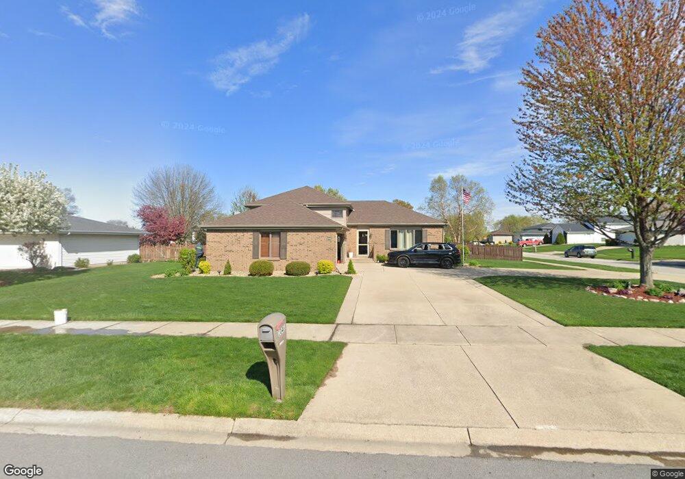
10461 W Magoun Dr Saint John, IN 46373
Saint John NeighborhoodEstimated Value: $382,000 - $400,000
3
Beds
2
Baths
2,256
Sq Ft
$172/Sq Ft
Est. Value
About This Home
This home is located at 10461 W Magoun Dr, Saint John, IN 46373 and is currently estimated at $388,637, approximately $172 per square foot. 10461 W Magoun Dr is a home located in Lake County with nearby schools including Lincoln Elementary School, Hanover Central Middle School, and Hanover Central High School.
Ownership History
Date
Name
Owned For
Owner Type
Purchase Details
Closed on
Oct 3, 2024
Sold by
Boyle Patrick J and Boyle Nancy
Bought by
Boyle Living Trust and Boyle
Current Estimated Value
Purchase Details
Closed on
Nov 30, 2005
Sold by
Curry Okey B and Curry Rhonda L
Bought by
Boyle Patrick J and Boyle Nancy
Home Financials for this Owner
Home Financials are based on the most recent Mortgage that was taken out on this home.
Original Mortgage
$150,000
Interest Rate
6.36%
Mortgage Type
Fannie Mae Freddie Mac
Create a Home Valuation Report for This Property
The Home Valuation Report is an in-depth analysis detailing your home's value as well as a comparison with similar homes in the area
Home Values in the Area
Average Home Value in this Area
Purchase History
| Date | Buyer | Sale Price | Title Company |
|---|---|---|---|
| Boyle Living Trust | -- | None Listed On Document | |
| Boyle Patrick J | -- | None Available |
Source: Public Records
Mortgage History
| Date | Status | Borrower | Loan Amount |
|---|---|---|---|
| Previous Owner | Boyle Patrick J | $150,000 |
Source: Public Records
Tax History Compared to Growth
Tax History
| Year | Tax Paid | Tax Assessment Tax Assessment Total Assessment is a certain percentage of the fair market value that is determined by local assessors to be the total taxable value of land and additions on the property. | Land | Improvement |
|---|---|---|---|---|
| 2024 | $6,984 | $320,700 | $58,200 | $262,500 |
| 2023 | $3,034 | $294,400 | $58,200 | $236,200 |
| 2022 | $3,232 | $283,800 | $58,200 | $225,600 |
| 2021 | $3,126 | $272,000 | $42,200 | $229,800 |
| 2020 | $3,072 | $257,600 | $42,200 | $215,400 |
| 2019 | $2,843 | $247,600 | $42,200 | $205,400 |
| 2018 | $2,946 | $237,400 | $42,200 | $195,200 |
| 2017 | $3,126 | $237,600 | $42,200 | $195,400 |
| 2016 | $2,877 | $223,400 | $42,200 | $181,200 |
| 2014 | $2,217 | $199,800 | $42,200 | $157,600 |
| 2013 | $2,292 | $198,700 | $42,200 | $156,500 |
Source: Public Records
Map
Nearby Homes
- 10746 Knickerbocker Ct
- 10788 Knickerbocker Ct
- 12268 W 107th Ln
- 10717 Maloian Dr
- 10043 Northcote Ct
- 10888 Wachter Ct
- 10837 Maloian Dr
- 9966 Olcott Ave
- 11324 Valley Dr
- 11009 W 105th Place
- 10003 Pheasant Ln
- 9857 Olcott Ave
- 10919 Huron St
- 9925 Pheasant Ln
- 9792 W Oakridge Dr
- 12305 Alvina Rose Ct
- The Torbet Plan at The Preserve
- The Rainier Plan at The Preserve
- The Princeton Plan at The Preserve
- The Powell II Plan at The Preserve
- 10445 W Magoun Dr
- 11912 S Magoun Dr
- 11933 W 105th St
- 11933 105
- 11945 W 105th St
- 10462 W Magoun Dr
- 10431 W Magoun Dr
- 11921 W 105th St
- 10446 W Magoun Dr
- 12005 W 105th St
- 11910 S Magoun Dr
- 11914 S Magoun Dr
- 11907 W 105th St
- 10432 W Magoun Dr
- 12017 W 105th St
- 10415 W Magoun Dr
- 11836 W 105th St
- 11847 W 105th St
- 10416 W Magoun Dr
- 11906 S Magoun Dr