10465 Calhoun Rd Rock Falls, IL 61071
Estimated Value: $212,000 - $259,000
3
Beds
2
Baths
1,642
Sq Ft
$141/Sq Ft
Est. Value
About This Home
This home is located at 10465 Calhoun Rd, Rock Falls, IL 61071 and is currently estimated at $232,144, approximately $141 per square foot. 10465 Calhoun Rd is a home located in Whiteside County with nearby schools including Montmorency School, Rock Falls Township High School, and St. Andrew Catholic Elementary School.
Ownership History
Date
Name
Owned For
Owner Type
Purchase Details
Closed on
Jul 23, 2018
Sold by
Webster Alan C and Webster Reni
Bought by
Battles Michael C and Battles Taylor R
Current Estimated Value
Home Financials for this Owner
Home Financials are based on the most recent Mortgage that was taken out on this home.
Original Mortgage
$142,405
Outstanding Balance
$123,415
Interest Rate
4.5%
Mortgage Type
Purchase Money Mortgage
Estimated Equity
$108,729
Purchase Details
Closed on
Apr 10, 2018
Sold by
Webster Reni
Bought by
Webster Alan C
Purchase Details
Closed on
Mar 3, 2007
Sold by
Yaklich David Roy and Yaklich Judith Ann
Bought by
Webster Alan C and Webster Reni
Home Financials for this Owner
Home Financials are based on the most recent Mortgage that was taken out on this home.
Original Mortgage
$125,100
Interest Rate
6.31%
Mortgage Type
New Conventional
Create a Home Valuation Report for This Property
The Home Valuation Report is an in-depth analysis detailing your home's value as well as a comparison with similar homes in the area
Home Values in the Area
Average Home Value in this Area
Purchase History
| Date | Buyer | Sale Price | Title Company |
|---|---|---|---|
| Battles Michael C | -- | -- | |
| Webster Alan C | -- | -- | |
| Webster Alan C | $139,000 | None Available |
Source: Public Records
Mortgage History
| Date | Status | Borrower | Loan Amount |
|---|---|---|---|
| Open | Battles Michael C | $142,405 | |
| Previous Owner | Webster Alan C | $125,100 |
Source: Public Records
Tax History
| Year | Tax Paid | Tax Assessment Tax Assessment Total Assessment is a certain percentage of the fair market value that is determined by local assessors to be the total taxable value of land and additions on the property. | Land | Improvement |
|---|---|---|---|---|
| 2024 | $4,784 | $62,197 | $3,975 | $58,222 |
| 2023 | $4,386 | $56,672 | $3,622 | $53,050 |
| 2022 | $4,183 | $53,108 | $3,394 | $49,714 |
| 2021 | $4,193 | $52,734 | $3,370 | $49,364 |
| 2020 | $4,112 | $51,493 | $3,291 | $48,202 |
| 2019 | $4,041 | $50,399 | $3,221 | $47,178 |
| 2018 | $4,464 | $50,764 | $3,244 | $47,520 |
| 2017 | $4,492 | $48,397 | $3,109 | $45,288 |
| 2016 | $4,360 | $46,071 | $2,960 | $43,111 |
| 2015 | $3,664 | $46,543 | $2,990 | $43,553 |
| 2014 | $356 | $44,988 | $2,890 | $42,098 |
| 2013 | $3,664 | $46,543 | $2,990 | $43,553 |
Source: Public Records
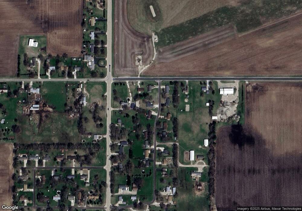
Map
Nearby Homes
- 10465 Calhoun Dr
- 10485 Calhoun Dr
- 10445 Calhoun Dr
- 29055 E Thome Rd
- 10476 Calhoun Dr
- 10440 Calhoun Dr
- 10490 Calhoun Dr
- 10420 Calhoun Dr
- 10464 Hoover Rd
- 10405 Calhoun Dr
- 10400 Calhoun Dr
- 10416 Hoover Rd
- 29125 E Thome Rd
- 10391 Calhoun Dr
- 10370 Calhoun Dr
- 29173 E Thome Rd
- 10365 Calhoun Dr
- 10347 Calhoun Dr
- 10350 Calhoun Dr
- 10340 Hoover Rd
Your Personal Tour Guide
Ask me questions while you tour the home.