10466 Carter Ct Somerset, VA 22972
Estimated Value: $237,000 - $323,000
3
Beds
1
Bath
1,508
Sq Ft
$187/Sq Ft
Est. Value
About This Home
This home is located at 10466 Carter Ct, Somerset, VA 22972 and is currently estimated at $282,512, approximately $187 per square foot. 10466 Carter Ct is a home located in Orange County with nearby schools including Orange Elementary School, Prospect Heights Middle School, and Orange County High School.
Ownership History
Date
Name
Owned For
Owner Type
Purchase Details
Closed on
Oct 10, 2018
Sold by
Security National Life Insurance Company
Bought by
Sobeck Robert M and Sobeck Auna N
Current Estimated Value
Purchase Details
Closed on
Dec 4, 2006
Sold by
Quesenberry Deborah L
Bought by
Hackley Scott
Home Financials for this Owner
Home Financials are based on the most recent Mortgage that was taken out on this home.
Original Mortgage
$156,000
Interest Rate
7.87%
Mortgage Type
Adjustable Rate Mortgage/ARM
Create a Home Valuation Report for This Property
The Home Valuation Report is an in-depth analysis detailing your home's value as well as a comparison with similar homes in the area
Home Values in the Area
Average Home Value in this Area
Purchase History
| Date | Buyer | Sale Price | Title Company |
|---|---|---|---|
| Sobeck Robert M | $50,000 | Fact Finders Title & Settlem | |
| Hackley Scott | $195,000 | None Available |
Source: Public Records
Mortgage History
| Date | Status | Borrower | Loan Amount |
|---|---|---|---|
| Previous Owner | Hackley Scott | $156,000 |
Source: Public Records
Tax History Compared to Growth
Tax History
| Year | Tax Paid | Tax Assessment Tax Assessment Total Assessment is a certain percentage of the fair market value that is determined by local assessors to be the total taxable value of land and additions on the property. | Land | Improvement |
|---|---|---|---|---|
| 2024 | $1,174 | $155,500 | $58,900 | $96,600 |
| 2023 | $1,174 | $155,500 | $58,900 | $96,600 |
| 2022 | $1,174 | $155,500 | $58,900 | $96,600 |
| 2021 | $1,127 | $156,500 | $58,900 | $97,600 |
| 2020 | $1,127 | $156,500 | $58,900 | $97,600 |
| 2019 | $1,142 | $142,100 | $58,900 | $83,200 |
| 2018 | $1,142 | $142,100 | $58,900 | $83,200 |
| 2017 | $1,142 | $142,100 | $58,900 | $83,200 |
| 2016 | $1,142 | $142,100 | $58,900 | $83,200 |
| 2015 | $1,004 | $139,400 | $58,900 | $80,500 |
| 2014 | $1,004 | $139,400 | $58,900 | $80,500 |
Source: Public Records
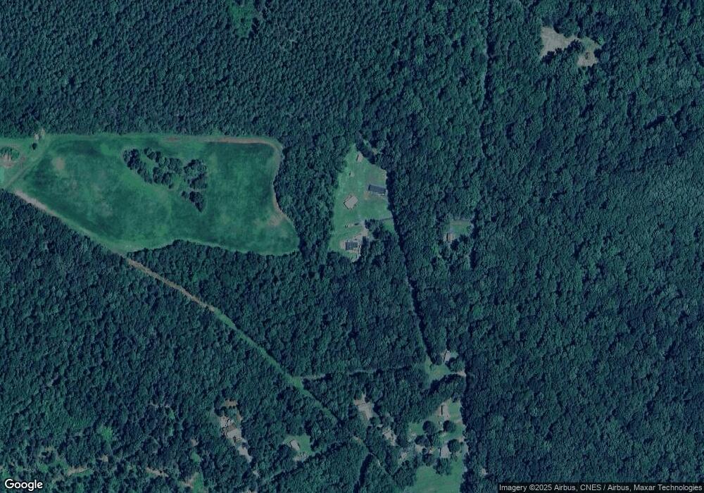
Map
Nearby Homes
- 11171 Jacksontown Rd
- 9441 Constitution Hwy
- 34 Mcalexander Rd
- 529 Aster Ln
- 14315 Willis Ct
- 14315 Willis Ct Unit 15
- 14314 Willis Ct
- 15217 Old Gordonsville Rd
- 10485 Cedar Hill Rd
- 0 James Madison Hwy Unit VAOR2010454
- 1130 Race Ground Rd
- 14372 Madison Run Rd
- 0 Gobbler Knob Ln
- 361 Harper Dr
- 14251 Miller Rd
- 129 Bowler Ln
- 12320 Mayhurst Ln
- 354 Berry St
- 2427 S Blue Ridge Turnpike
- 2427 S Blue Ridge Turnpike
- 10467 Carter Ct
- 10493 Carter Ct
- 11275 Jacksontown Rd
- 11223 Jacksontown Rd
- 10479 Anderson Dr
- 11201 Jacksontown Rd
- 0 Anderson Dr
- 10445 Anderson Dr
- 11195 Jacksontown Rd
- 10446 Anderson Dr
- 11183 Jacksontown Rd
- 11170 Jacksontown Rd
- 11160 Jacksontown Rd
- 11145 Jacksontown Rd
- 11123 Jacksontown Rd
- 11093 Jacksontown Rd
- 11105 Jacksontown Rd
- 11083 Jacksontown Rd
- 14372 Jackson Place
- 11081 Jacksontown Rd