10466 W Woodrow Rd Shelby, MI 49455
Estimated Value: $169,383 - $398,000
--
Bed
--
Bath
--
Sq Ft
4,095
Sq Ft Lot
About This Home
This home is located at 10466 W Woodrow Rd, Shelby, MI 49455 and is currently estimated at $306,096. 10466 W Woodrow Rd is a home with nearby schools including Shelby High School.
Ownership History
Date
Name
Owned For
Owner Type
Purchase Details
Closed on
Feb 14, 2023
Sold by
Davidson Patricia L
Bought by
Loftis Sarah
Current Estimated Value
Purchase Details
Closed on
Jul 16, 2001
Sold by
Davidson Patricia and Davidson Joanne
Bought by
Davidson Patricia
Create a Home Valuation Report for This Property
The Home Valuation Report is an in-depth analysis detailing your home's value as well as a comparison with similar homes in the area
Home Values in the Area
Average Home Value in this Area
Purchase History
| Date | Buyer | Sale Price | Title Company |
|---|---|---|---|
| Loftis Sarah | -- | None Listed On Document | |
| Davidson Patricia | -- | -- | |
| Davidson Patricia L | -- | -- |
Source: Public Records
Tax History Compared to Growth
Tax History
| Year | Tax Paid | Tax Assessment Tax Assessment Total Assessment is a certain percentage of the fair market value that is determined by local assessors to be the total taxable value of land and additions on the property. | Land | Improvement |
|---|---|---|---|---|
| 2025 | $1,532 | $60,000 | $60,000 | $0 |
| 2024 | $396 | $58,400 | $58,400 | $0 |
| 2023 | $1,341 | $49,600 | $49,600 | $0 |
| 2022 | $1,341 | $44,000 | $0 | $0 |
| 2021 | $1,339 | $40,300 | $40,300 | $0 |
| 2020 | $1,263 | $38,800 | $38,800 | $0 |
| 2019 | $1,277 | $37,700 | $0 | $0 |
| 2018 | $1,183 | $31,500 | $0 | $0 |
| 2017 | $1,183 | $30,700 | $0 | $0 |
| 2016 | -- | $27,100 | $0 | $0 |
| 2013 | -- | $44,700 | $0 | $0 |
Source: Public Records
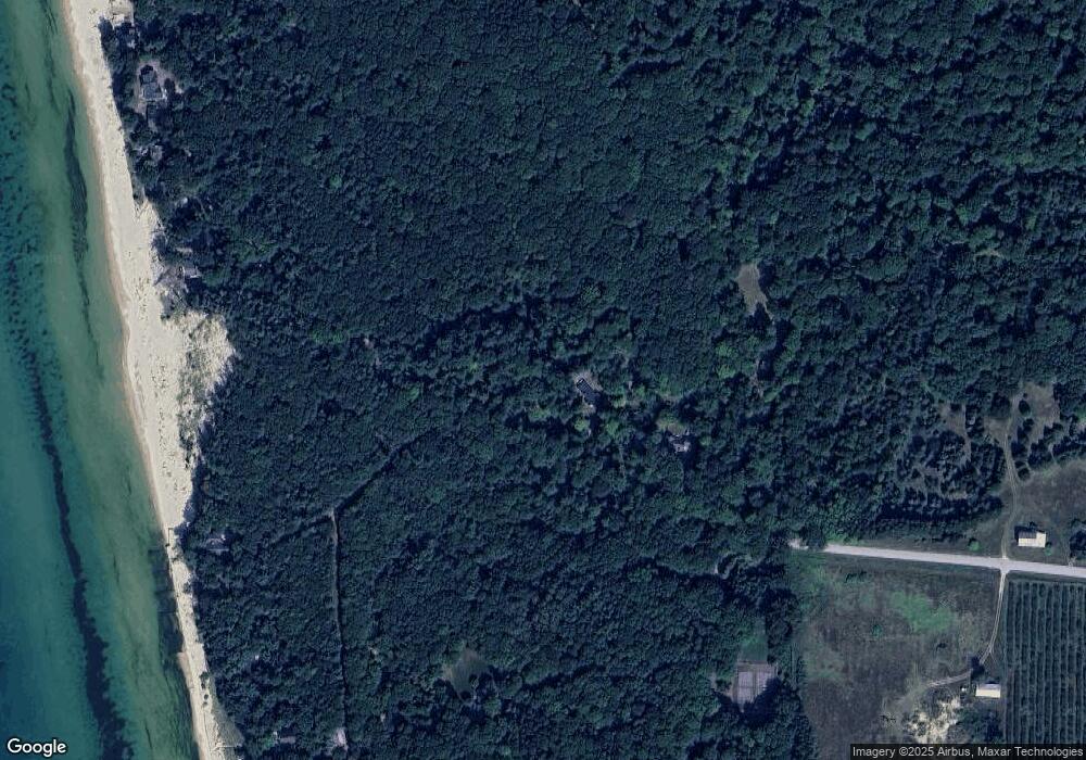
Map
Nearby Homes
- 10445 W Woodrow Rd
- 10412 W Woodrow Rd
- Lot G Hemlock Trail
- 0 Sable Point Dr Unit 286596
- Lot N Hemlock Trail
- Lot O Hemlock
- 1935 S Glen Rd
- 2225 Apache Dr
- 0 Silver Lake Dr
- 2087 S Glen Rd
- V/L W Woodrow Rd
- 62 N 14th Ave
- 539 N Lighthouse Dr
- 18 Acres 28th Ave
- 2167 S 32nd Ave Unit Parcel B
- 2167 S 32nd Ave Unit Parcel A
- 0 S 32nd Ave
- 658 Parasail Dr
- Parcel F-1 28th Ave
- Parcel F-2 28th Ave
- 1471 S Ridge Rd
- 0 S Hemlock Trail
- 0 Hemlock Trail Unit 67022045110
- 0 Hemlock Trail Unit 22045110
- 0 Sable Point Dr Unit 71019001780
- 0 Sable Point Dr Unit 67023014211
- 0 Sable Point Dr Unit 21 23014211
- 0 Sable Point Dr Unit 23008991
- 0 Sable Point Dr Unit 67020004514
- 0 Sable Point Dr Unit 67013053478
- 0 Sable Point Dr Unit 67020004014
- 28 Sable Point Dr
- 0 Sable Point Dr Unit M13053478
- 0 Sable Point Dr Unit M14062235
- 0 Sable Point Dr Unit M15013134
- 0 Sable Point Dr Unit M15044976
- 0 Sable Point Dr Unit M15044921
- 0 Sable Point Dr Unit M15044476
- 0 Sable Point Dr Unit M15044471
- 0 Sable Point Dr Unit M15044304