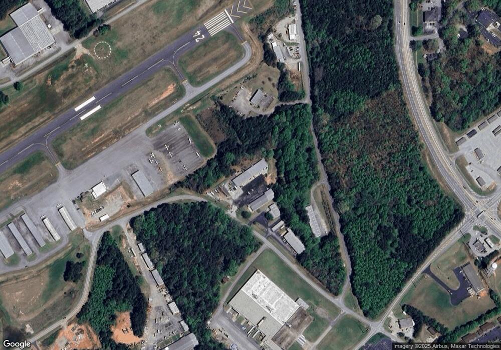
1047 Airport Rd Cornelia, GA 30531
Estimated Value: $381,000
--
Bed
--
Bath
9,000
Sq Ft
$42/Sq Ft
Est. Value
About This Home
This home is located at 1047 Airport Rd, Cornelia, GA 30531 and is currently priced at $381,000, approximately $42 per square foot. 1047 Airport Rd is a home located in Habersham County with nearby schools including Baldwin Elementary School, South Habersham Middle School, and Habersham Success Academy.
Ownership History
Date
Name
Owned For
Owner Type
Purchase Details
Closed on
Oct 1, 2024
Sold by
Watkins Wanda Simmons
Bought by
Watkins Mickey Jewell
Current Estimated Value
Purchase Details
Closed on
Mar 16, 2016
Sold by
Grant Alice Kay
Bought by
Watkins Wanda Simmons
Purchase Details
Closed on
Apr 22, 2013
Sold by
Watkins Sue
Bought by
Looney Verner Lee
Create a Home Valuation Report for This Property
The Home Valuation Report is an in-depth analysis detailing your home's value as well as a comparison with similar homes in the area
Home Values in the Area
Average Home Value in this Area
Purchase History
| Date | Buyer | Sale Price | Title Company |
|---|---|---|---|
| Watkins Mickey Jewell | -- | -- | |
| Watkins Wanda Simmons | -- | -- | |
| Looney Verner Lee | -- | -- | |
| Watkins Wanda Sue | -- | -- |
Source: Public Records
Tax History Compared to Growth
Tax History
| Year | Tax Paid | Tax Assessment Tax Assessment Total Assessment is a certain percentage of the fair market value that is determined by local assessors to be the total taxable value of land and additions on the property. | Land | Improvement |
|---|---|---|---|---|
| 2025 | $3,339 | $102,292 | $9,300 | $92,992 |
| 2024 | $2,629 | $101,308 | $10,880 | $90,428 |
| 2023 | $3,036 | $121,416 | $8,372 | $113,044 |
| 2022 | $2,784 | $106,772 | $8,372 | $98,400 |
| 2021 | $2,623 | $101,068 | $8,372 | $92,696 |
| 2020 | $2,394 | $89,016 | $8,372 | $80,644 |
| 2019 | $2,397 | $89,016 | $8,372 | $80,644 |
| 2018 | $2,305 | $86,280 | $5,636 | $80,644 |
| 2017 | $2,197 | $81,804 | $5,636 | $76,168 |
| 2016 | $2,133 | $204,510 | $5,636 | $76,168 |
| 2015 | $2,108 | $204,510 | $5,636 | $76,168 |
| 2014 | $2,148 | $204,510 | $5,636 | $76,168 |
| 2013 | -- | $81,804 | $5,636 | $76,168 |
Source: Public Records
Map
Nearby Homes
- 0 Highway 441 Bypass Unit 10428967
- 321 Magnolia Villas Dr
- 265 Magnolia Villas Dr
- 285 Magnolia Villas Dr
- 325 Magnolia Villas Dr
- 241 Magnolia Villas Dr
- 245 Magnolia Villas Dr
- Plan 2628 at Magnolia Villas
- Plan 1709 at Magnolia Villas
- Plan 1522 at Magnolia Villas
- Plan 2030 at Magnolia Villas
- Plan 1727 at Magnolia Villas
- Plan 1634 at Magnolia Villas
- Plan 2709 at Magnolia Villas
- Plan 1643 at Magnolia Villas
- Plan 3105 at Magnolia Villas
- Plan 2121 at Magnolia Villas
- Plan 3030 at Magnolia Villas
- Plan 2131 at Magnolia Villas
- Plan 2408 at Magnolia Villas
- 1047 Airport Rd
- 363 Baldwin Rd
- 215 Baldwin Rd
- 383 Baldwin Rd
- 402 Baldwin Rd
- 409 Baldwin Rd
- 1390 Industrial Blvd
- 134 Professional Dr Abc Abcd
- 134 Professional Dr A B C D
- 134 Professional Dr Unit A,B,C,D
- 0 Baldwin Rd Unit 7386100
- 0 Baldwin Rd Unit 8609954
- 1370 Industrial Blvd
- 331 Airport Rd W
- W W Airport Rd
- 401 Wilbanks St
- 0 Professional Dr Unit 2693538
- 0 Professional Dr Unit 7256694
- 100 W Airport Rd
- 100 Airport Rd W
