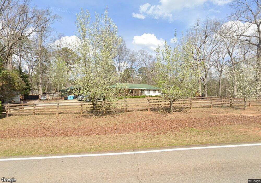
1047 Coan Dr Locust Grove, GA 30248
Estimated Value: $279,300 - $325,000
3
Beds
2
Baths
1,932
Sq Ft
$154/Sq Ft
Est. Value
About This Home
This home is located at 1047 Coan Dr, Locust Grove, GA 30248 and is currently estimated at $297,825, approximately $154 per square foot. 1047 Coan Dr is a home located in Henry County with nearby schools including Tussahaw Elementary School, Locust Grove Middle School, and Locust Grove High School.
Ownership History
Date
Name
Owned For
Owner Type
Purchase Details
Closed on
Jan 26, 1999
Sold by
Peddle Timothy M
Bought by
Peddle Timothy M and Peddle Lisa A
Current Estimated Value
Home Financials for this Owner
Home Financials are based on the most recent Mortgage that was taken out on this home.
Original Mortgage
$84,305
Interest Rate
6.72%
Mortgage Type
FHA
Purchase Details
Closed on
Jan 25, 1999
Sold by
Howard David B and Howard Angela
Bought by
Peddle Timothy M
Home Financials for this Owner
Home Financials are based on the most recent Mortgage that was taken out on this home.
Original Mortgage
$84,305
Interest Rate
6.72%
Mortgage Type
FHA
Purchase Details
Closed on
Aug 30, 1995
Sold by
Sanders Billy Loretta
Bought by
Howard David Angela
Create a Home Valuation Report for This Property
The Home Valuation Report is an in-depth analysis detailing your home's value as well as a comparison with similar homes in the area
Home Values in the Area
Average Home Value in this Area
Purchase History
| Date | Buyer | Sale Price | Title Company |
|---|---|---|---|
| Peddle Timothy M | -- | -- | |
| Peddle Timothy M | $85,000 | -- | |
| Howard David Angela | $63,500 | -- |
Source: Public Records
Mortgage History
| Date | Status | Borrower | Loan Amount |
|---|---|---|---|
| Previous Owner | Peddle Timothy M | $84,305 | |
| Closed | Howard David Angela | $0 |
Source: Public Records
Tax History Compared to Growth
Tax History
| Year | Tax Paid | Tax Assessment Tax Assessment Total Assessment is a certain percentage of the fair market value that is determined by local assessors to be the total taxable value of land and additions on the property. | Land | Improvement |
|---|---|---|---|---|
| 2025 | $3,091 | $116,704 | $16,920 | $99,784 |
| 2024 | $3,091 | $106,120 | $15,400 | $90,720 |
| 2023 | $2,397 | $102,160 | $14,840 | $87,320 |
| 2022 | $2,410 | $81,320 | $13,680 | $67,640 |
| 2021 | $2,182 | $71,600 | $11,760 | $59,840 |
| 2020 | $2,056 | $66,240 | $11,080 | $55,160 |
| 2019 | $1,912 | $60,080 | $10,480 | $49,600 |
| 2018 | $1,801 | $55,360 | $9,680 | $45,680 |
| 2016 | $1,484 | $44,720 | $8,320 | $36,400 |
| 2015 | $1,368 | $40,880 | $9,280 | $31,600 |
| 2014 | $1,232 | $37,160 | $9,280 | $27,880 |
Source: Public Records
Map
Nearby Homes
- 521 Deadwood Trail
- 1000 Coan Dr
- 601 Amerigo Ct
- 705 Seabolt Rd
- 143 Kimbell Farm Dr
- 604 Onieda Dr
- 218 Baxter Ln
- 678 Seabolt Rd
- 201 Nina Cir
- 121, 125, 129 Case Dr
- 560 Coan Dr
- 1126 Old Jackson Rd
- 100 Harbin Trail
- 305 Annie Ln Unit 2
- 281 Laney Dr
- 705 S Bethany Rd
- 165 Caraway Rd
- 995 Old Jackson Rd
- 1579 S Bethany Rd
- 390 Coan Dr
- 917 Besse Way
- 917 Besse Way Unit 612
- 921 Besse Way
- 921 Besse Way Unit 613
- 913 Besse Way
- 909 Besse Way
- 995 Coan Dr
- 925 Besse Way
- 905 Besse Way Unit 609
- 905 Besse Way
- 910 Besse Way
- 910 Besse Way Unit 628
- 929 Besse Way
- 929 Besse Way Unit 615
- 1068 Coan Dr
- 993 Coan Dr
- 524 Deadwood Trail
- 524 Deadwood Trail Unit 683
- 525 Deadwood Trail
- 900 Besse Way