1047 Grant Ave Tipton, IA 52772
--
Bed
--
Bath
--
Sq Ft
--
Built
About This Home
This home is located at 1047 Grant Ave, Tipton, IA 52772. 1047 Grant Ave is a home located in Cedar County with nearby schools including Tipton Elementary School, Tipton Middle School, and Tipton High School.
Create a Home Valuation Report for This Property
The Home Valuation Report is an in-depth analysis detailing your home's value as well as a comparison with similar homes in the area
Tax History
| Year | Tax Paid | Tax Assessment Tax Assessment Total Assessment is a certain percentage of the fair market value that is determined by local assessors to be the total taxable value of land and additions on the property. | Land | Improvement |
|---|---|---|---|---|
| 2024 | $2,490 | $214,630 | $46,280 | $168,350 |
| 2023 | $506 | $209,610 | $46,280 | $163,330 |
| 2022 | $1,918 | $163,440 | $33,810 | $129,630 |
| 2021 | $1,792 | $163,440 | $33,810 | $129,630 |
| 2020 | $1,712 | $145,280 | $30,050 | $115,230 |
| 2019 | $1,456 | $122,840 | $0 | $0 |
| 2018 | $1,436 | $122,840 | $0 | $0 |
| 2017 | $1,546 | $125,630 | $0 | $0 |
| 2016 | $1,540 | $125,630 | $0 | $0 |
| 2015 | $1,622 | $125,630 | $0 | $0 |
| 2014 | $1,622 | $125,630 | $0 | $0 |
Source: Public Records
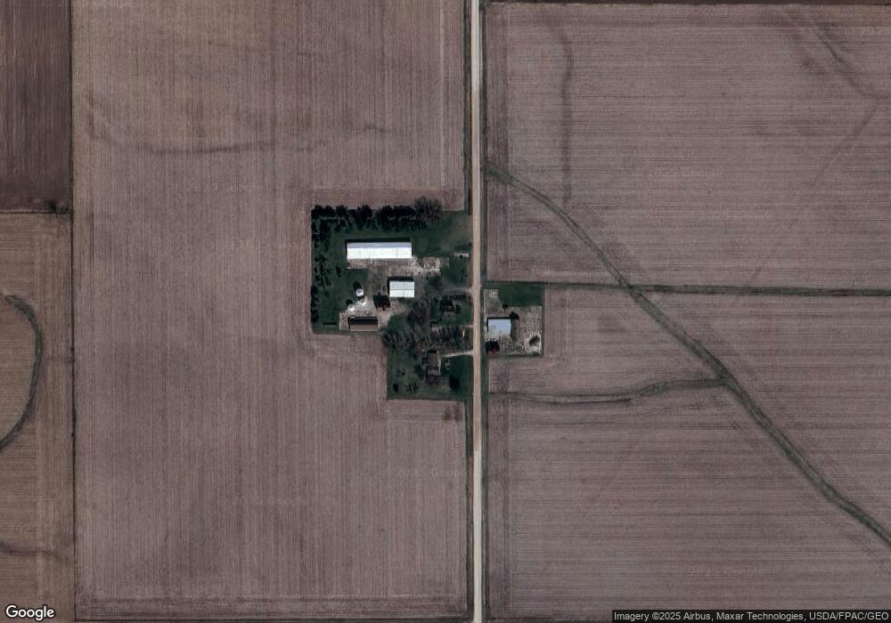
Map
Nearby Homes
- 0 210th St at Harding Ave
- 200th Street
- 1116 Third-Cedar Bluff St
- 0 185th St & Dixon Ave
- 0 185th St at Dixon Ave
- 878 Daulton Dr
- 0 Pleasant View Dr Parcel
- 201 Sand Trap Cir
- 602 W 8th St
- 506 W 9th St
- 107 Alliance Ct
- 602 Orange St
- 1105 Iowa 38
- 1105 Highway 38
- 101 Alliance Dr
- 412 W 3rd St
- 111 W 11th St
- 908 Lynn St
- 0 Lynn St
- 104 E 11th St
Your Personal Tour Guide
Ask me questions while you tour the home.