1047 Laurel Ridge Dr McDonough, GA 30252
Estimated Value: $508,723 - $611,000
5
Beds
4
Baths
3,089
Sq Ft
$183/Sq Ft
Est. Value
About This Home
This home is located at 1047 Laurel Ridge Dr, McDonough, GA 30252 and is currently estimated at $566,181, approximately $183 per square foot. 1047 Laurel Ridge Dr is a home located in Henry County with nearby schools including Timber Ridge Elementary School, Union Grove Middle School, and Union Grove High School.
Ownership History
Date
Name
Owned For
Owner Type
Purchase Details
Closed on
Mar 18, 2011
Sold by
Hanson David C and Hanson Jane A
Bought by
Nobles Raleigh L
Current Estimated Value
Home Financials for this Owner
Home Financials are based on the most recent Mortgage that was taken out on this home.
Original Mortgage
$245,600
Interest Rate
4.99%
Mortgage Type
New Conventional
Purchase Details
Closed on
Feb 28, 2002
Sold by
Adams Group Inc
Bought by
Hanson David C and Hanson Jane A
Home Financials for this Owner
Home Financials are based on the most recent Mortgage that was taken out on this home.
Original Mortgage
$276,000
Interest Rate
3.88%
Mortgage Type
New Conventional
Purchase Details
Closed on
Dec 1, 2000
Sold by
Fox Dev Ii Llc
Bought by
Adams Group Inc
Home Financials for this Owner
Home Financials are based on the most recent Mortgage that was taken out on this home.
Original Mortgage
$229,005
Interest Rate
7.81%
Mortgage Type
New Conventional
Create a Home Valuation Report for This Property
The Home Valuation Report is an in-depth analysis detailing your home's value as well as a comparison with similar homes in the area
Home Values in the Area
Average Home Value in this Area
Purchase History
| Date | Buyer | Sale Price | Title Company |
|---|---|---|---|
| Nobles Raleigh L | $307,000 | -- | |
| Hanson David C | $345,000 | -- | |
| Adams Group Inc | $35,500 | -- |
Source: Public Records
Mortgage History
| Date | Status | Borrower | Loan Amount |
|---|---|---|---|
| Closed | Nobles Raleigh L | $245,600 | |
| Previous Owner | Hanson David C | $276,000 | |
| Previous Owner | Adams Group Inc | $229,005 |
Source: Public Records
Tax History Compared to Growth
Tax History
| Year | Tax Paid | Tax Assessment Tax Assessment Total Assessment is a certain percentage of the fair market value that is determined by local assessors to be the total taxable value of land and additions on the property. | Land | Improvement |
|---|---|---|---|---|
| 2025 | $9,497 | $237,840 | $26,000 | $211,840 |
| 2024 | $9,497 | $233,240 | $26,000 | $207,240 |
| 2023 | $7,890 | $203,200 | $24,000 | $179,200 |
| 2022 | $8,019 | $206,560 | $22,000 | $184,560 |
| 2021 | $6,377 | $163,760 | $16,000 | $147,760 |
| 2020 | $5,916 | $151,760 | $14,000 | $137,760 |
| 2019 | $5,877 | $150,720 | $14,000 | $136,720 |
| 2018 | $5,482 | $140,440 | $14,000 | $126,440 |
| 2016 | $5,069 | $129,680 | $14,000 | $115,680 |
| 2015 | -- | $116,160 | $10,000 | $106,160 |
| 2014 | -- | $108,560 | $10,000 | $98,560 |
Source: Public Records
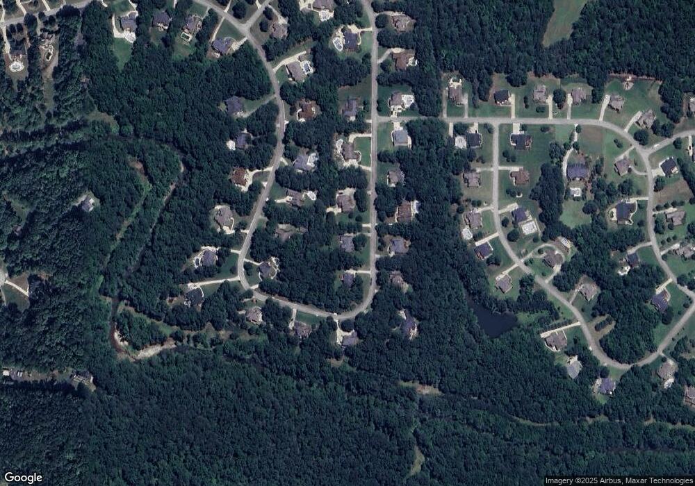
Map
Nearby Homes
- 1202 Persimmon Way
- 1209 Persimmon Way
- 1333 Nickel Oak Bend
- 1442 Swiftwater Cir
- 2194 Highway 20 E
- 121 Harper Rd
- 2175 Highway 20 E
- 628 Continental Dr
- 504 Dulles Dr
- 515 Dulles Dr
- Meridian II Plan at Trinity Park
- Clarity Plan at Trinity Park
- Rainier Plan at Trinity Park
- Stonefield Plan at Trinity Park
- Isabella II Plan at Trinity Park
- McKinley II Plan at Trinity Park
- Rosemary II Plan at Trinity Park
- 322 Delta Dr
- 308 Delta Dr
- 381 Country Lake Dr
- 1043 Laurel Ridge Dr
- 1049 Laurel Ridge Dr
- 1035 Laurel Ridge Dr
- 1048 Laurel Ridge Dr
- 1033 Laurel Ridge Dr
- 1037 Laurel Ridge Dr
- 1046 Laurel Ridge Dr
- 1050 Laurel Ridge Dr
- 1052 Laurel Ridge Dr
- 1040 Laurel Ridge Dr
- 1051 Laurel Ridge Dr
- 1042 Laurel Ridge Dr
- 1031 Laurel Ridge Dr
- 1044 Laurel Ridge Dr
- 1038 Laurel Ridge Dr
- 1032 Laurel Ridge Dr
- 1030 Laurel Ridge Dr
- 1054 Laurel Ridge Dr
- 1034 Laurel Ridge Dr
- 1308 Nickel Oak Bend